Landscape map print · North Yorkshire
The Yorkshire Dales map print
Ribblesdale, Wharfedale and the limestone country of Craven
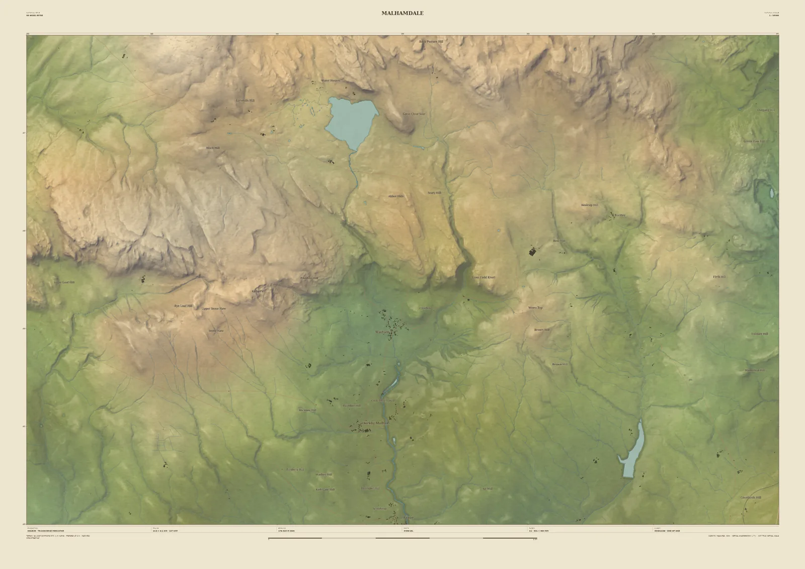
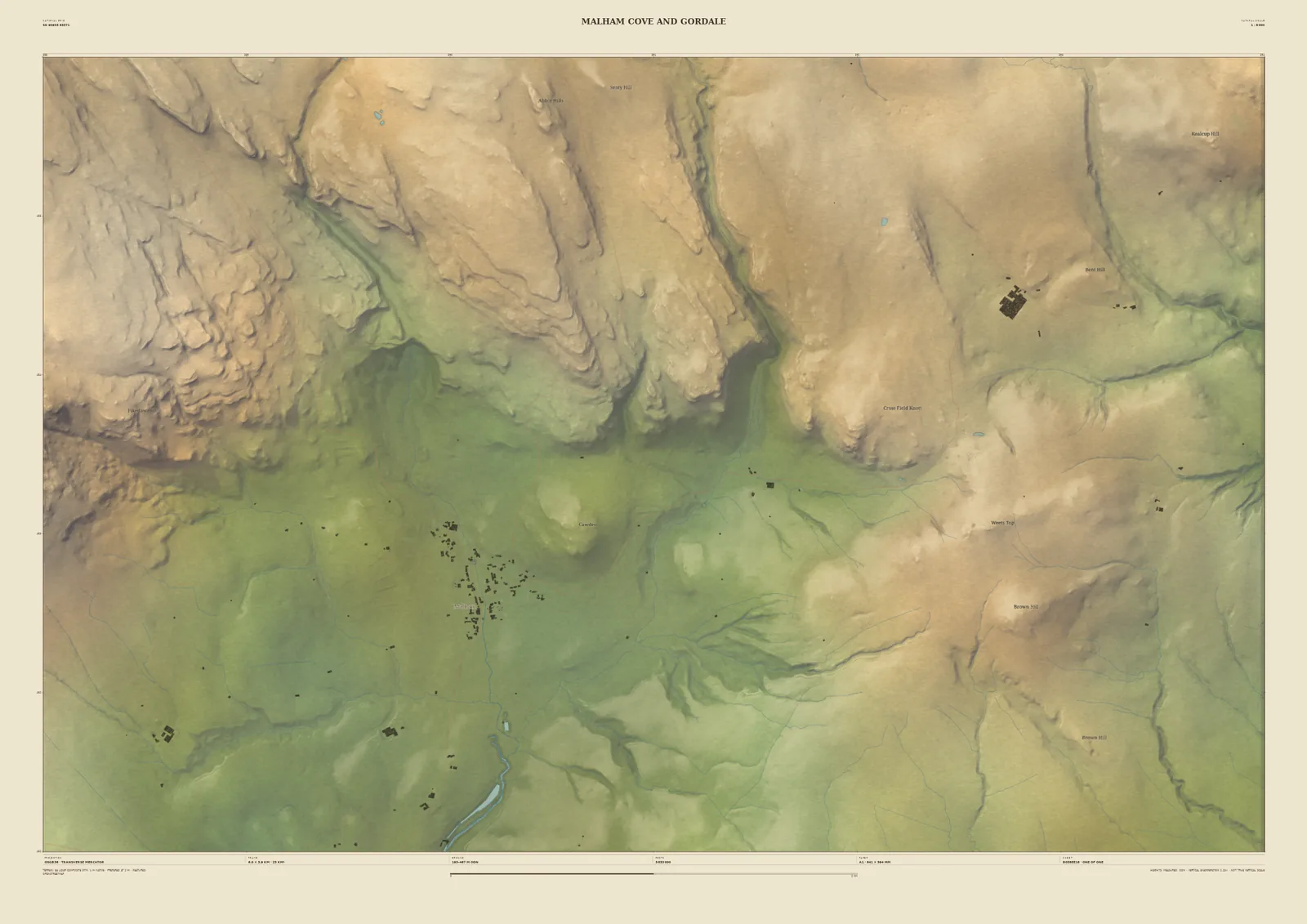
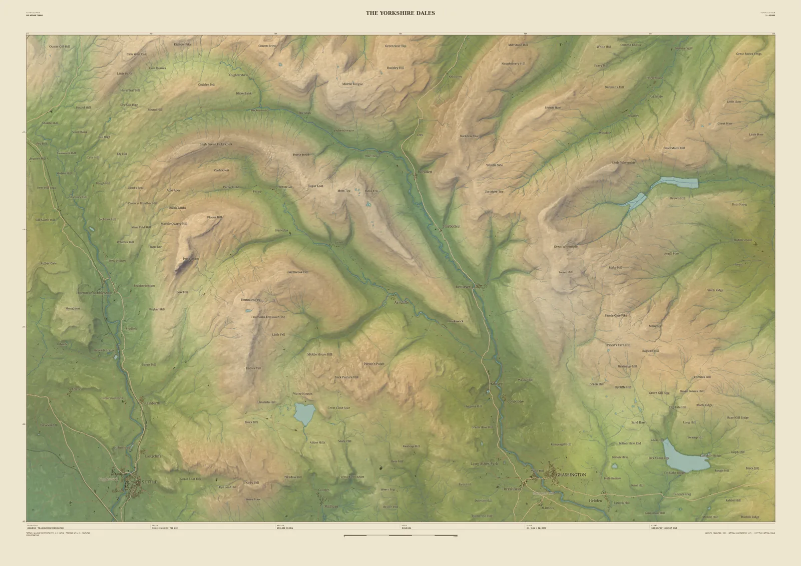
The southern Dales are limestone and gritstone country, cut into long, green dales separated by high moor. The 33 km frame runs from Settle in Ribblesdale in the south-west, across Malham Tarn and the high ground, to Wharfedale through Kettlewell down to Grassington, with Littondale between them.
The laser survey shows the limestone scars and terraces along the dale sides, and the curves of the rivers on the valley floors. It suits Dales walkers, cavers and cyclists, and anyone with a family farm or a favourite pub up the dale.
- Widths
- Shown here at 33 km, 14 km, 6 km across. In the Studio you choose 6, 14, 24 or 33 km, centred wherever you like.
- Terrain
- Environment Agency LiDAR Composite · 1 m measured terrain (England)
- Yours
- Your own title and words on the sheet. You see the finished preview before you pay.
- A2Rolled, to frame yourself£95
- A2Framed, ready to hang£185
- A1Rolled, to frame yourself£120
- A1Framed, ready to hang£250
- A0Rolled, to frame yourself£175
- A0Framed, ready to hang£375
Delivered prices for the 33 km frame. Printed to order on archival paper.