Relief map print · The Lake District
Helvellyn relief map print
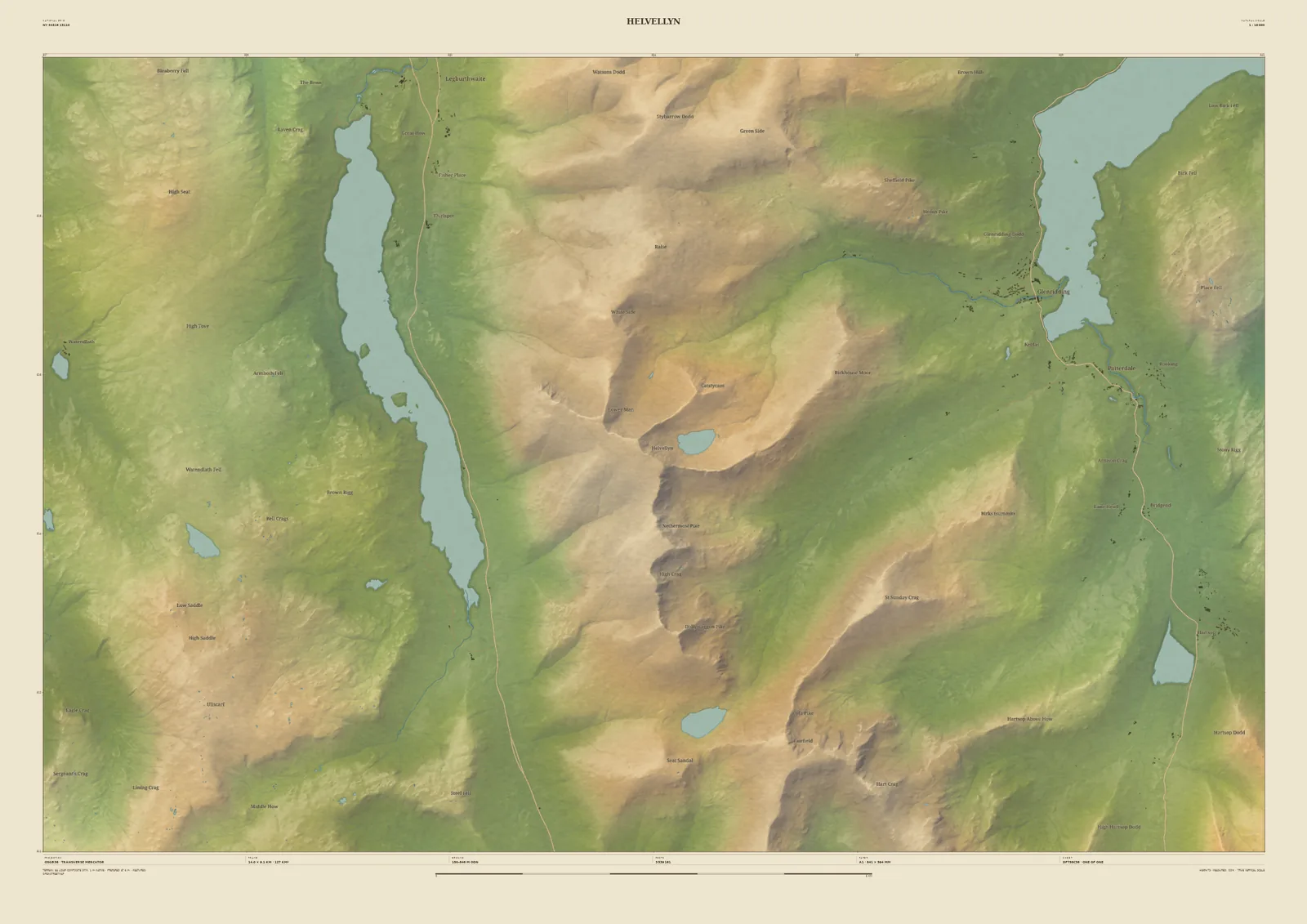
Striding Edge, Red Tarn, and the lakes on either side
Helvellyn is the Lake District’s best-loved high fell: a long, grassy ridge on its western side and a wall of crags on its eastern side, where Striding Edge and Swirral Edge close round Red Tarn. On this 14 km frame you can follow the whole ridge, from the fells above Thirlmere across to the head of Ullswater at Glenridding and Patterdale.
The shape of the ground comes from the Environment Agency’s 1-metre laser survey, so the edges, coves and becks are drawn where they really are, not sketched in. Grisedale Tarn and Brothers Water sit at the southern edge of the sheet. Keep the frame as it is, give it your own title, such as the date you first walked the edges, or slide it towards the valley you stayed in.
- Summit
- Helvellyn, 950 m
- Frame
- 14 km across, centred on the summit. Move it, widen it or narrow it in the Studio.
- Terrain
- Environment Agency LiDAR Composite · 1 m measured terrain (England)
- Style
- Field & Fell: soft earth colours, shaded hills, real water, and buildings where the scale allows
- Yours
- Your own title and words on the sheet. You see the finished preview before you pay.
- A2Rolled, to frame yourself£95
- A2Framed, ready to hang£185
- A1Rolled, to frame yourself£120
- A1Framed, ready to hang£250
- A0Rolled, to frame yourself£175
- A0Framed, ready to hang£375
Delivered prices. Printed to order on archival paper.