Relief map print · The Lake District
Scafell Pike relief map print
England’s highest mountain, from Wasdale to Langdale
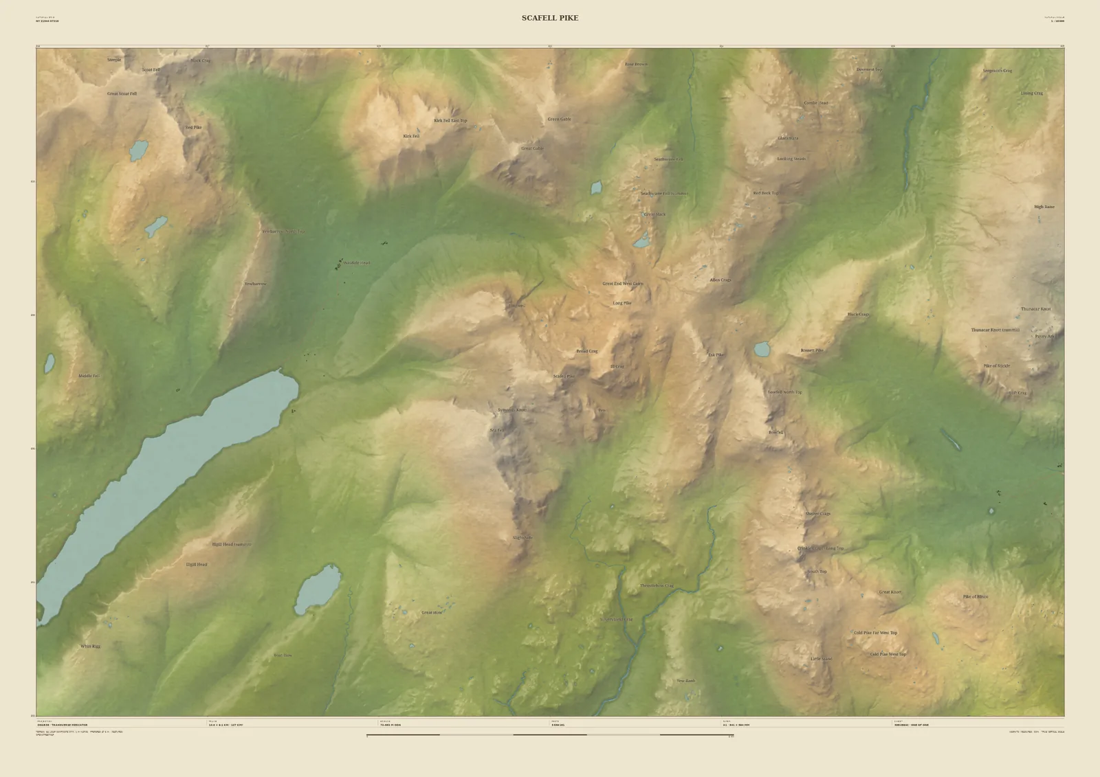
Scafell Pike is the highest ground in England, and this frame shows why the walk to it feels so wild. Wastwater runs in from the south-west to Wasdale Head; Great Gable and Kirk Fell stand above the valley head; and Bowfell, Crinkle Crags and the Langdale Pikes fill the eastern side of the sheet.
The crags and gullies are drawn from the Environment Agency’s 1-metre laser survey of the fells. It makes a fine print for anyone who has done the climb or the National Three Peaks: add the date and your route to the sheet, or move the frame to Borrowdale or Eskdale if that is where your walk began.
- Summit
- Scafell Pike, 978 m
- Frame
- 14 km across, centred on the summit. Move it, widen it or narrow it in the Studio.
- Terrain
- Environment Agency LiDAR Composite · 1 m measured terrain (England)
- Style
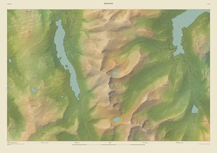
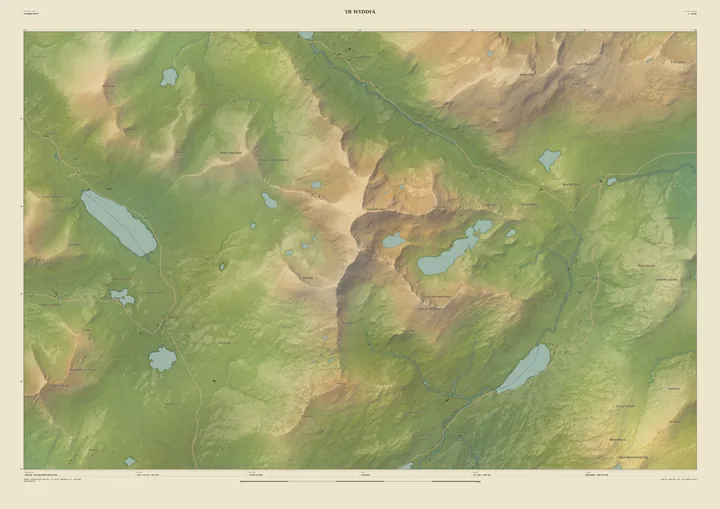
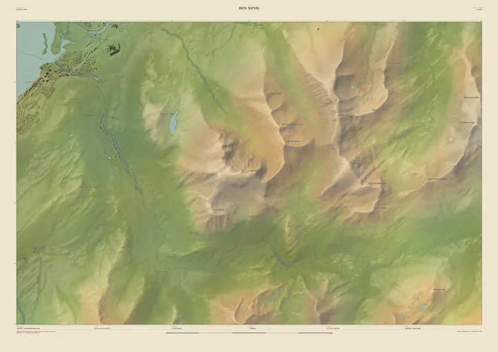
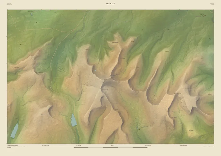
- Field & Fell: soft earth colours, shaded hills, real water, and buildings where the scale allows
- Yours
- Your own title and words on the sheet. You see the finished preview before you pay.
- A2Rolled, to frame yourself£95
- A2Framed, ready to hang£185
- A1Rolled, to frame yourself£120
- A1Framed, ready to hang£250
- A0Rolled, to frame yourself£175
- A0Framed, ready to hang£375
Delivered prices. Printed to order on archival paper.