Relief map print · Eryri
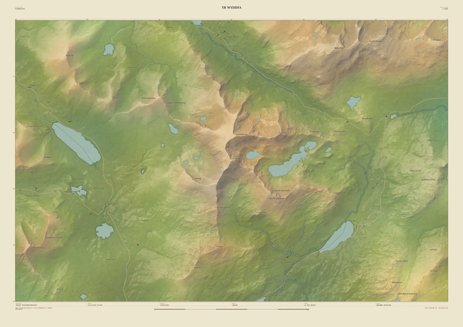
Yr Wyddfa (Snowdon) relief map print
The Snowdon horseshoe and the lakes below it
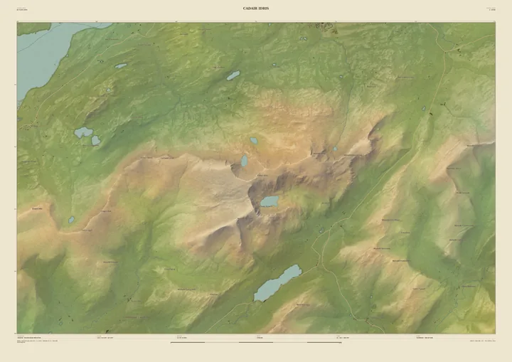
Yr Wyddfa is the highest mountain in Wales, and the summit sits at the centre of this 14 km frame. Around it, the horseshoe of ridges holds Llyn Llydaw and Glaslyn. Llyn Cwellyn lies in the valley to the west, Llyn Gwynant to the south-east, and the Llanberis Pass cuts across the top of the sheet.
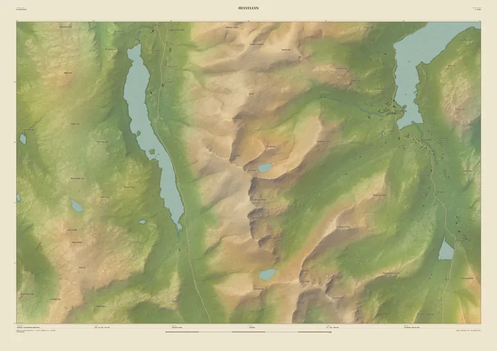
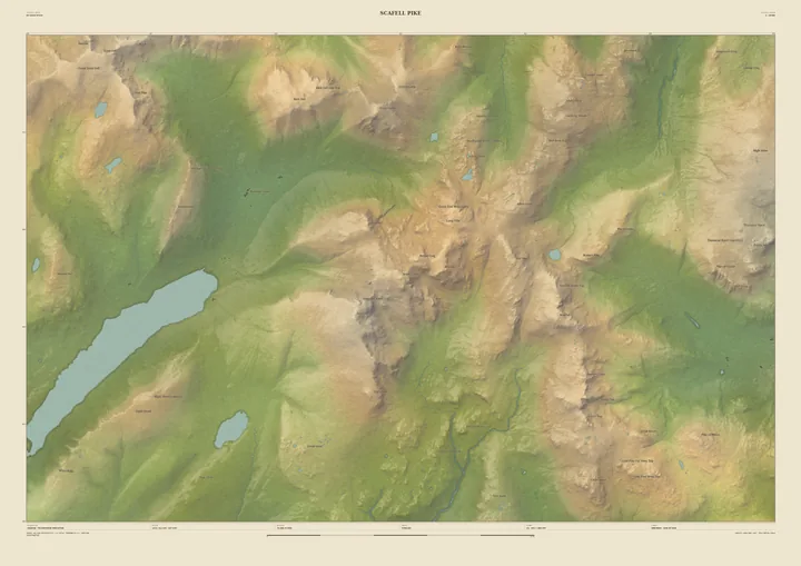
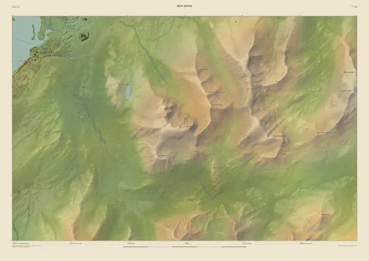
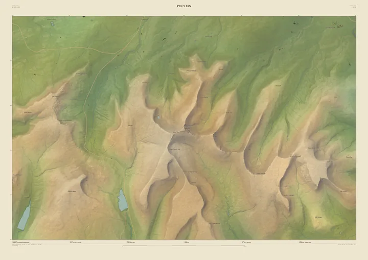
The terrain comes from the Welsh Government’s 1-metre LiDAR survey, so the ridges and the cwms beneath them are drawn from measurement. It suits anyone who has made the climb by any of its paths, or come up on the railway. Put the year on it, or the name of the path you took.
- Summit
- Yr Wyddfa, 1,085 m
- Frame
- 14 km across, centred on the summit. Move it, widen it or narrow it in the Studio.
- Terrain
- Welsh Government LiDAR 2020–23 · 1 m measured terrain (Wales)
- Style
- Field & Fell: soft earth colours, shaded hills, real water, and buildings where the scale allows
- Yours
- Your own title and words on the sheet. You see the finished preview before you pay.
- A2Rolled, to frame yourself£95
- A2Framed, ready to hang£185
- A1Rolled, to frame yourself£120
- A1Framed, ready to hang£250
- A0Rolled, to frame yourself£175
- A0Framed, ready to hang£375
Delivered prices. Printed to order on archival paper.