Relief map print · The Peak District
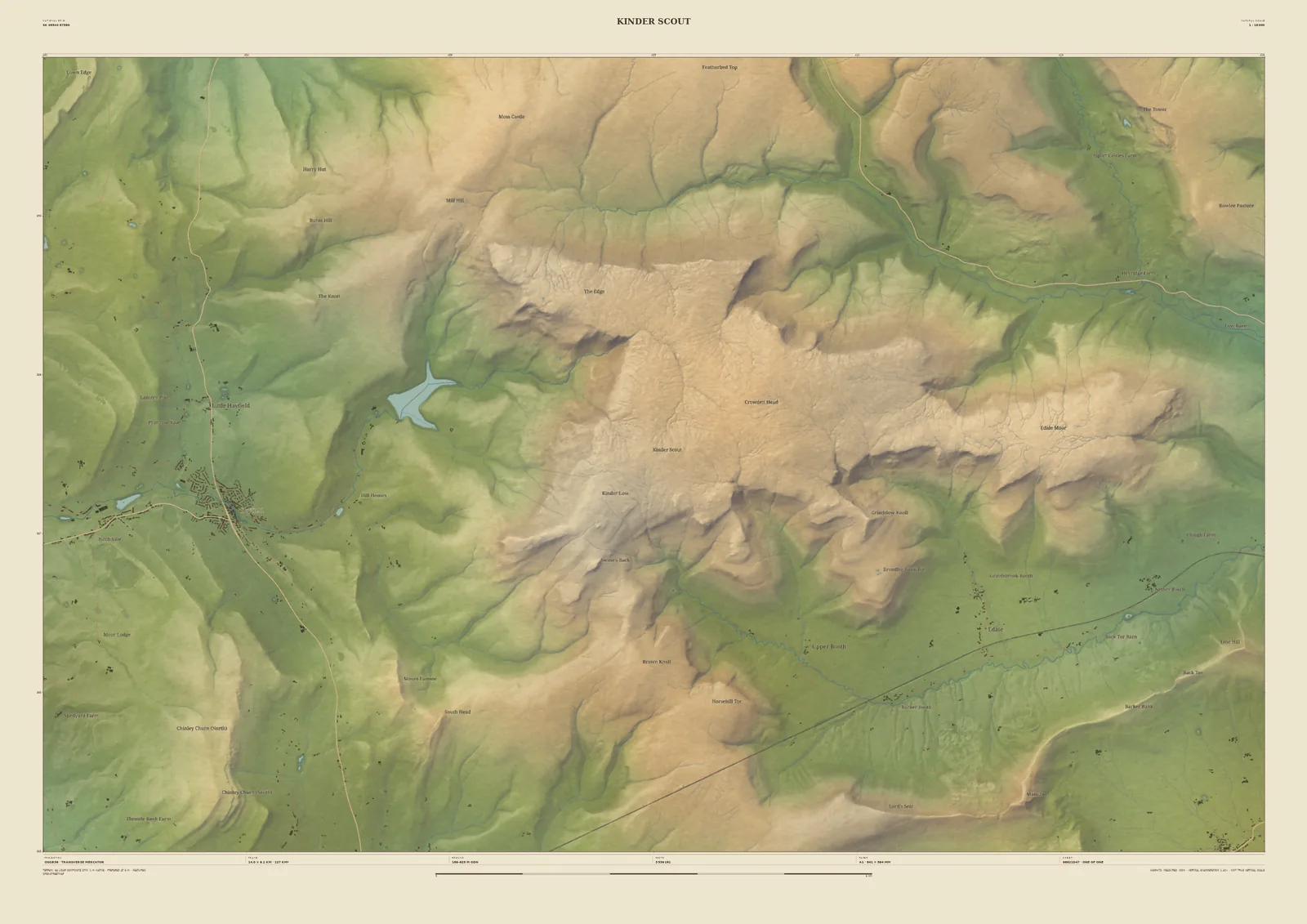
Kinder Scout relief map print
The Dark Peak plateau, from Hayfield to Edale
Kinder Scout is the highest ground in the Peak District: a wide gritstone plateau cut by peat channels and ringed by edges. It was the scene of the 1932 Mass Trespass, which helped win the right to walk on open land. The frame runs from Hayfield and Kinder Reservoir in the west to the Edale valley along the south.
The Environment Agency’s 1-metre survey picks out the edges and the cloughs running off the plateau, and the gentle rise of the moor inside them. It’s a good print for Peak District walkers, and for anyone who grew up below the Dark Peak. Add your own words, or move the frame along to Bleaklow or Mam Tor.
- Summit
- Kinder Scout, 636 m
- Frame
- 14 km across, centred on the plateau. Move it, widen it or narrow it in the Studio.
- Terrain
- Environment Agency LiDAR Composite · 1 m measured terrain (England)
- Style
- Field & Fell: soft earth colours, shaded hills, real water, and buildings where the scale allows
- Yours
- Your own title and words on the sheet. You see the finished preview before you pay.
- A2Rolled, to frame yourself£95
- A2Framed, ready to hang£185
- A1Rolled, to frame yourself£120
- A1Framed, ready to hang£250
- A0Rolled, to frame yourself£175
- A0Framed, ready to hang£375
Delivered prices. Printed to order on archival paper.