Relief map print · The Cairngorms
The Cairngorms relief map print
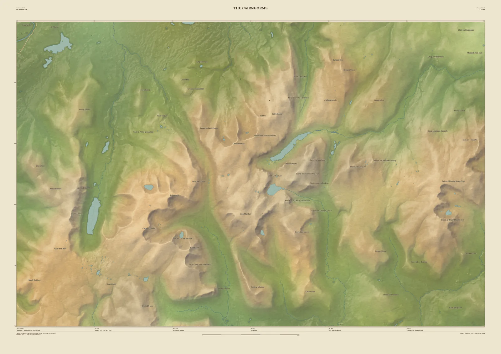
Ben Macdui, Loch Avon and the Lairig Ghru
The Cairngorms are the largest area of high ground in Britain, and Ben Macdui, at 1,309 m, is second in height only to Ben Nevis. This 24 km frame takes in the central massif. The Lairig Ghru cuts north to south through it, Loch Einich lies in its long glen to the west, and Loch Avon sits in its trench below the plateau.
Laser survey doesn’t yet reach these hills, so the ground is drawn from the Copernicus 30-metre satellite model. That is still enough to show the corries, glens and plateaux clearly, and the print is labelled with its source. It suits skiers, hill-baggers and anyone who has walked the Lairig Ghru.
- Summit
- Ben Macdui, 1,309 m
- Frame
- 24 km across, centred on the high plateau. Move it, widen it or narrow it in the Studio.
- Terrain
- Copernicus GLO-30 satellite terrain · 30 m fallback (not national LiDAR). The national laser surveys do not reach this ground yet, so the hills are drawn a little softer than on our LiDAR maps.
- Style
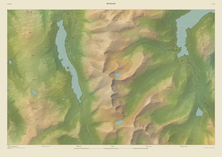
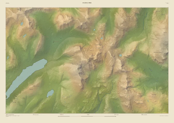
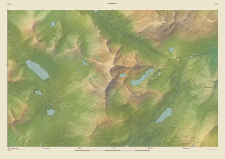
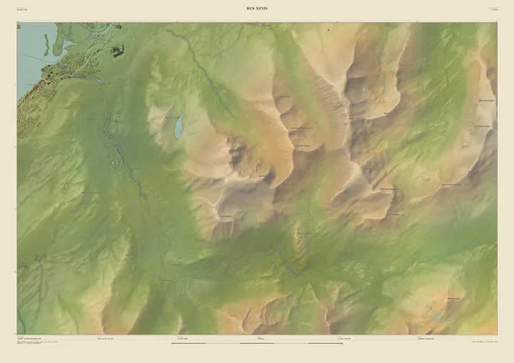
- Field & Fell: soft earth colours, shaded hills, real water, and buildings where the scale allows
- Yours
- Your own title and words on the sheet. You see the finished preview before you pay.
- A2Rolled, to frame yourself£95
- A2Framed, ready to hang£185
- A1Rolled, to frame yourself£120
- A1Framed, ready to hang£250
- A0Rolled, to frame yourself£175
- A0Framed, ready to hang£375
Delivered prices. Printed to order on archival paper.