Relief map print · The Yorkshire Dales
The Yorkshire Three Peaks relief map print
Whernside, Ingleborough and Pen-y-ghent on one sheet
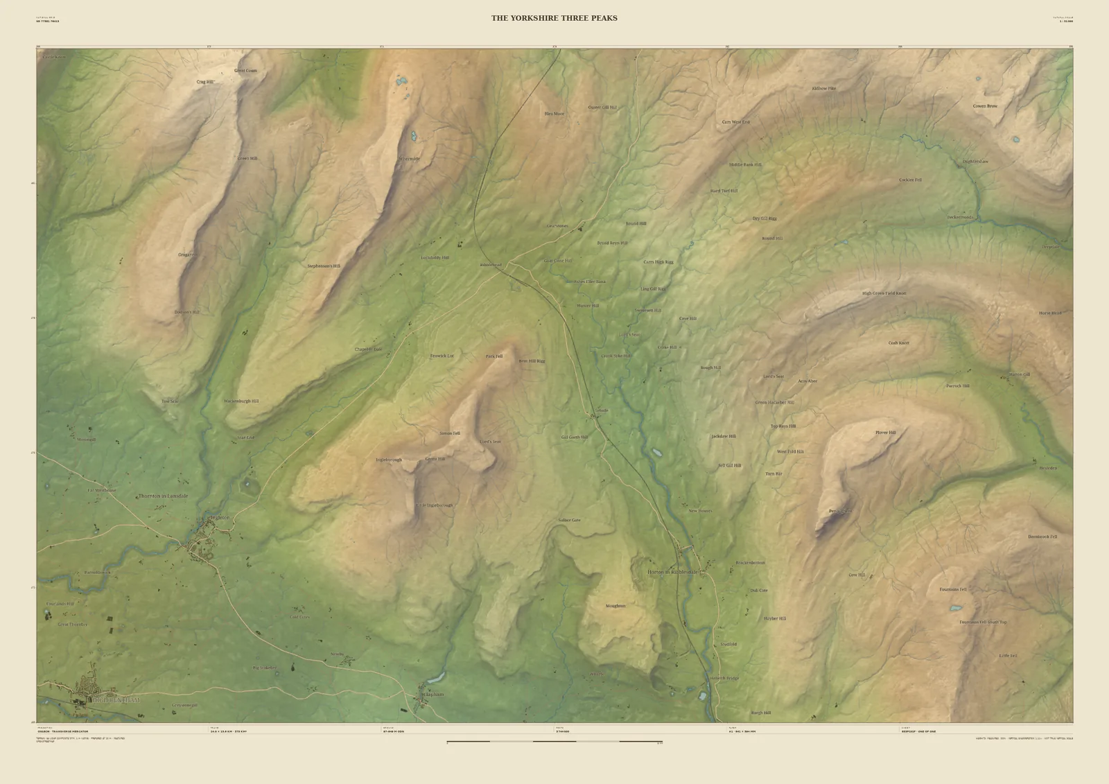
The Yorkshire Three Peaks challenge strings together Pen-y-ghent (694 m), Whernside (736 m) and Ingleborough (723 m) in a single day of about 24 miles. This 24 km frame holds all three, with Ribblesdale between them: Whernside’s long ridge to the north-west, Ingleborough’s flat top in the middle, and Pen-y-ghent across the dale to the east.
The limestone country comes from the Environment Agency’s 1-metre laser survey, so the limestone scars and terraces show as real texture in the ground. It’s an obvious way to remember the challenge: add your time, the date and who walked it with you.
- Summit
- Whernside, 736 m
- Frame
- 24 km across, centred on the ground between the three summits. Move it, widen it or narrow it in the Studio.
- Terrain
- Environment Agency LiDAR Composite · 1 m measured terrain (England)
- Style
- Field & Fell: soft earth colours, shaded hills, real water, and buildings where the scale allows
- Yours
- Your own title and words on the sheet. You see the finished preview before you pay.
- A2Rolled, to frame yourself£95
- A2Framed, ready to hang£185
- A1Rolled, to frame yourself£120
- A1Framed, ready to hang£250
- A0Rolled, to frame yourself£175
- A0Framed, ready to hang£375
Delivered prices. Printed to order on archival paper.