Relief map print · Lochaber
Ben Nevis relief map print
Britain’s highest mountain, above Fort William and Glen Nevis
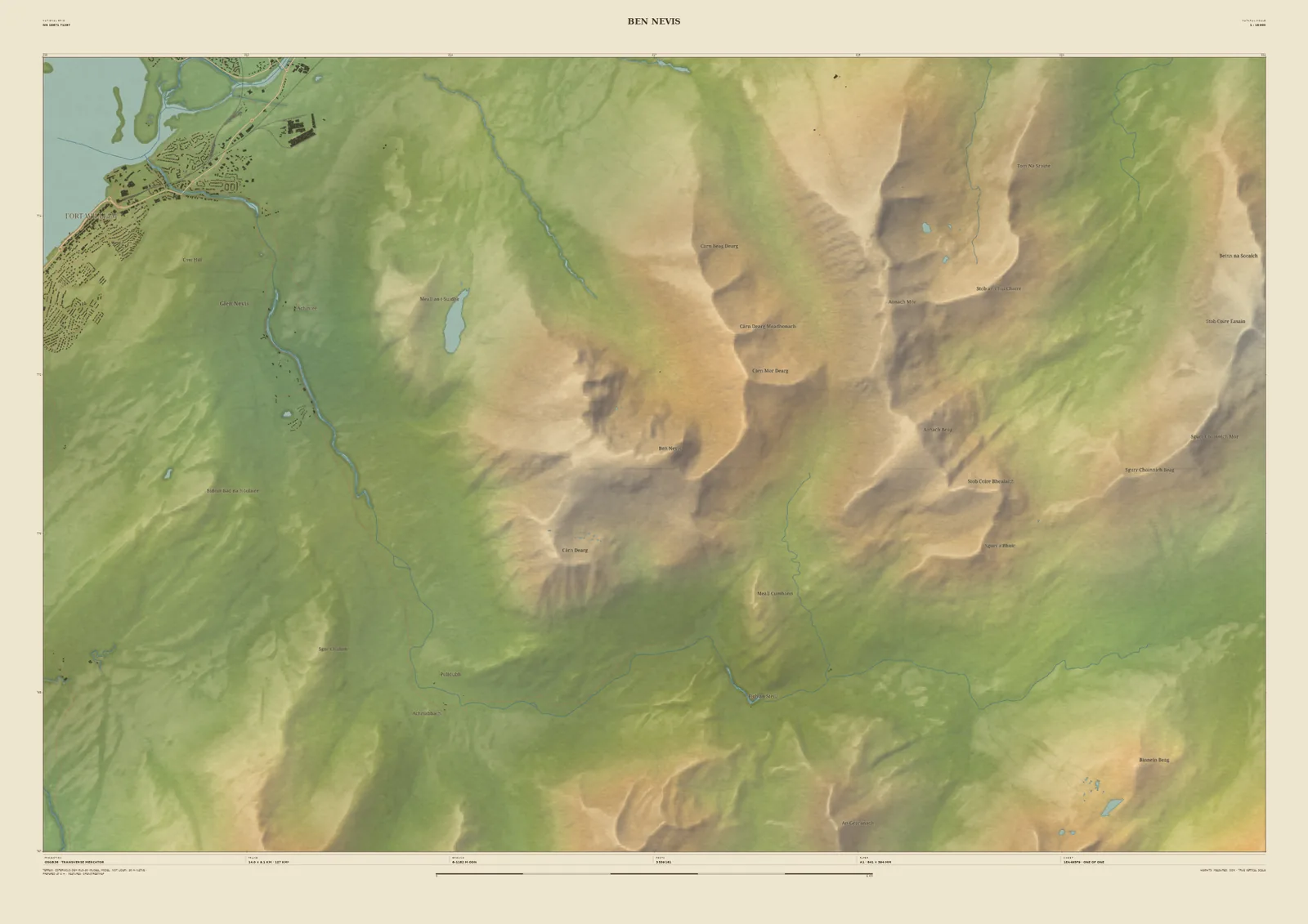
Ben Nevis is the highest mountain in Britain. On this frame Fort William and the head of Loch Linnhe sit in the north-west corner, Glen Nevis curls round the foot of the mountain, and the ridge runs east to Carn Mòr Dearg and on to the Aonachs.
Scotland’s laser surveys don’t cover this stretch of Lochaber yet, so the ground is drawn from the Copernicus 30-metre satellite model. The great shapes of the mountain are all there, but the finest detail is softer than on our LiDAR prints, and we say so on the sheet. It makes a fine reminder of a summit day: add the date and the route, whether the tourist path or the CMD arête.
- Summit
- Ben Nevis, 1,345 m
- Frame
- 14 km across, centred on the summit. Move it, widen it or narrow it in the Studio.
- Terrain
- Copernicus GLO-30 satellite terrain · 30 m fallback (not national LiDAR). The national laser surveys do not reach this ground yet, so the hills are drawn a little softer than on our LiDAR maps.
- Style
- Field & Fell: soft earth colours, shaded hills, real water, and buildings where the scale allows
- Yours
- Your own title and words on the sheet. You see the finished preview before you pay.
- A2Rolled, to frame yourself£95
- A2Framed, ready to hang£185
- A1Rolled, to frame yourself£120
- A1Framed, ready to hang£250
- A0Rolled, to frame yourself£175
- A0Framed, ready to hang£375
Delivered prices. Printed to order on archival paper.