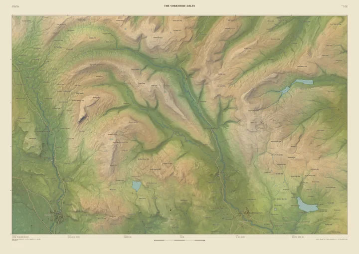
Landscape map print · Derbyshire
The Peak District map print
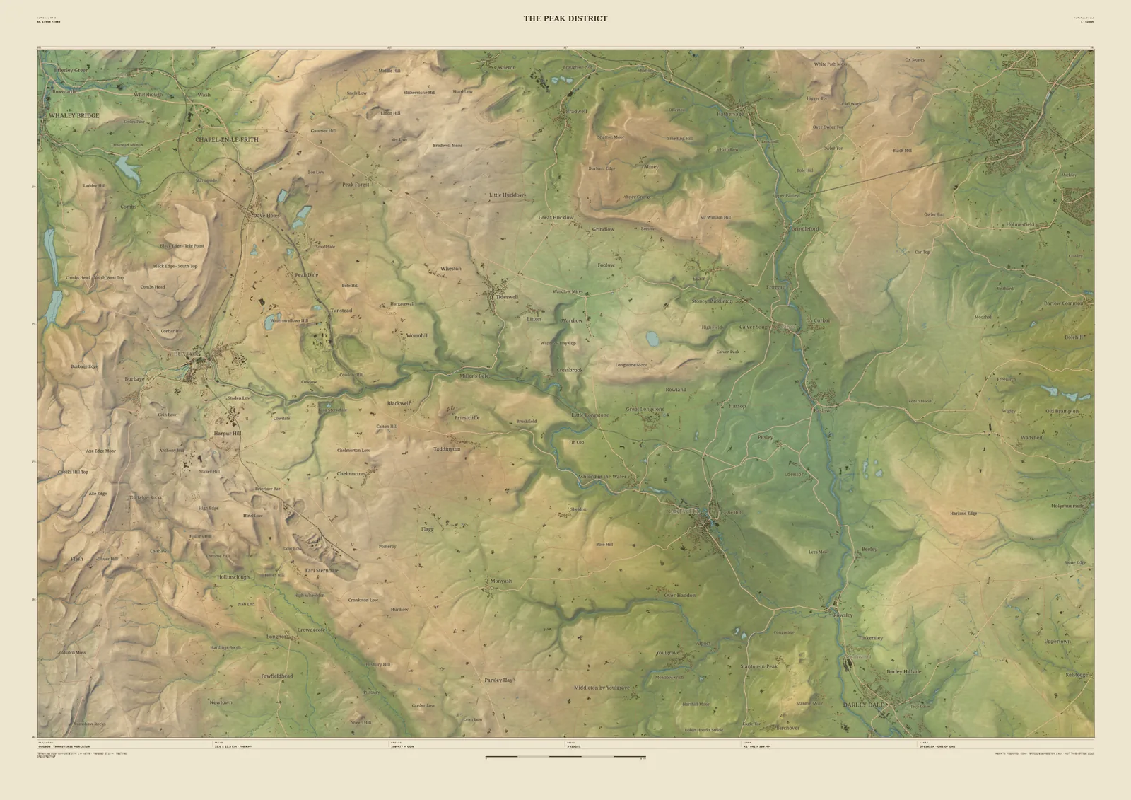
The White Peak, from Chapel-en-le-Frith to the Derwent
The southern Peak District is limestone country, the White Peak: a high plateau of walled fields cut by deep, narrow dales. The 33 km frame runs from Whaley Bridge and Chapel-en-le-Frith in the north-west, past Buxton and down the Wye’s dales, to the Derwent valley and Darley Dale in the south-east.
The laser survey shows the dales as the sharp cuts they really are. It suits Peak walkers and climbers, families from Buxton and Bakewell, and anyone who has walked the Monsal Trail.
- Widths
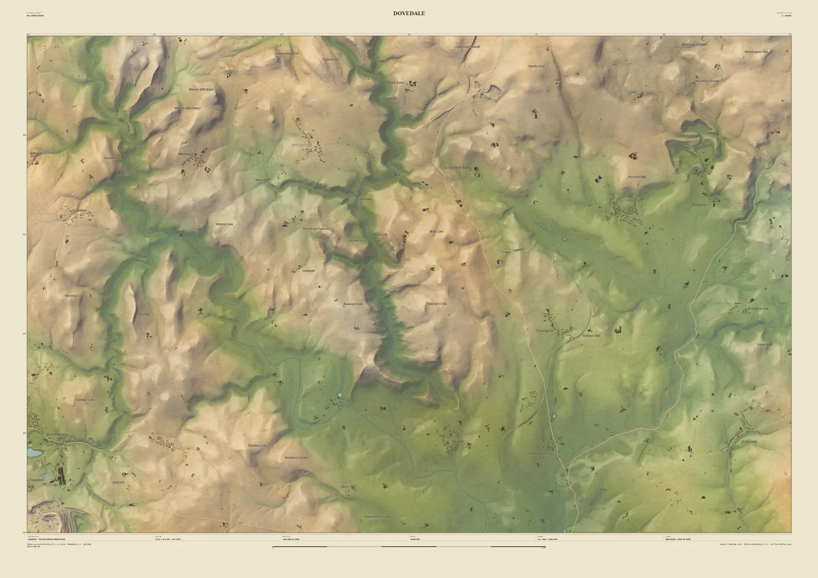
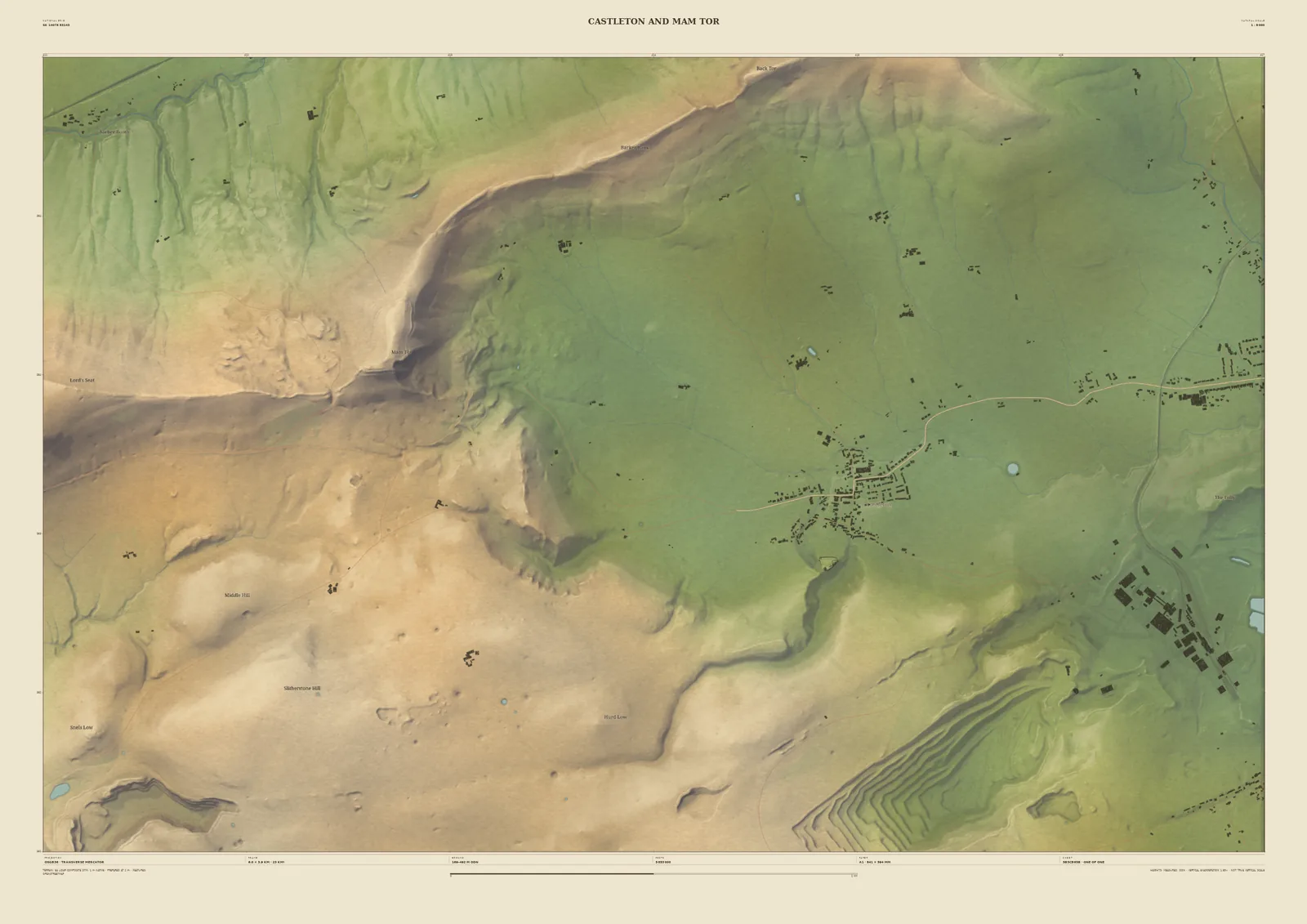
- Shown here at 33 km, 14 km, 6 km across. In the Studio you choose 6, 14, 24 or 33 km, centred wherever you like.
- Terrain
- Environment Agency LiDAR Composite · 1 m measured terrain (England)
- Yours
- Your own title and words on the sheet. You see the finished preview before you pay.
- A2Rolled, to frame yourself£95
- A2Framed, ready to hang£185
- A1Rolled, to frame yourself£120
- A1Framed, ready to hang£250
- A0Rolled, to frame yourself£175
- A0Framed, ready to hang£375
Delivered prices for the 33 km frame. Printed to order on archival paper.