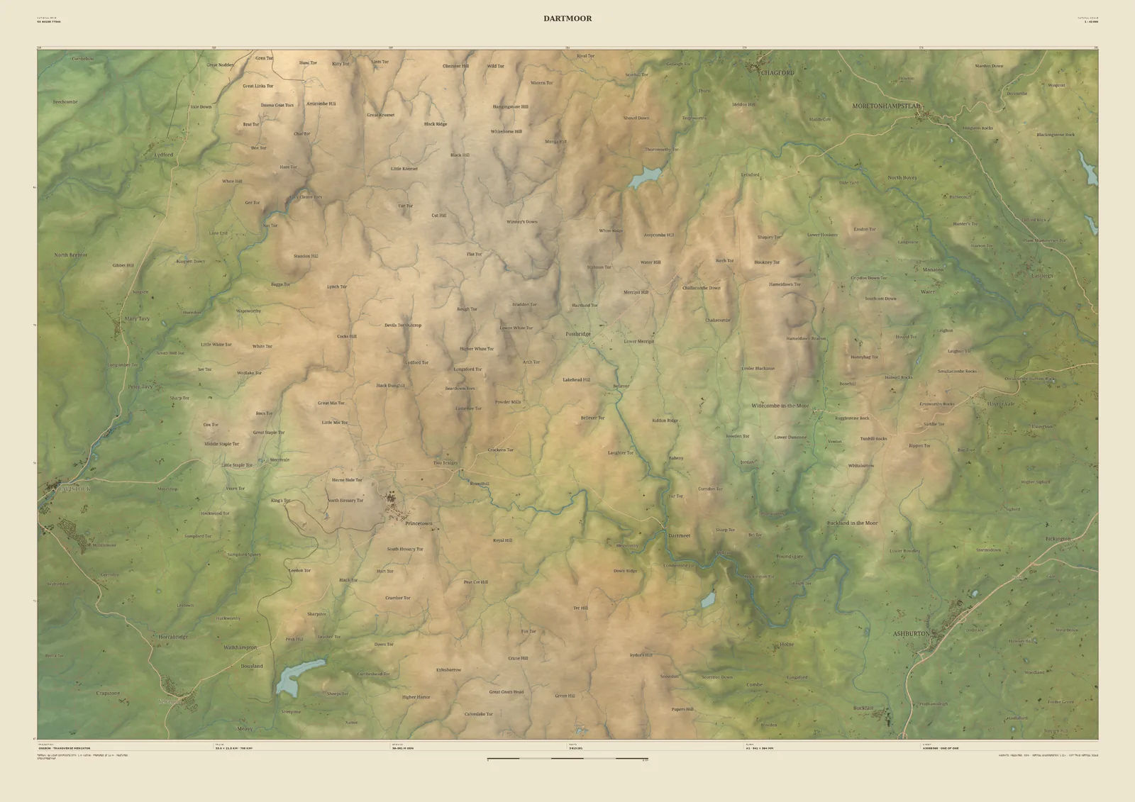
Landscape map print · Devon
Dartmoor map print
The granite moor, its tors and the gorge of the Dart
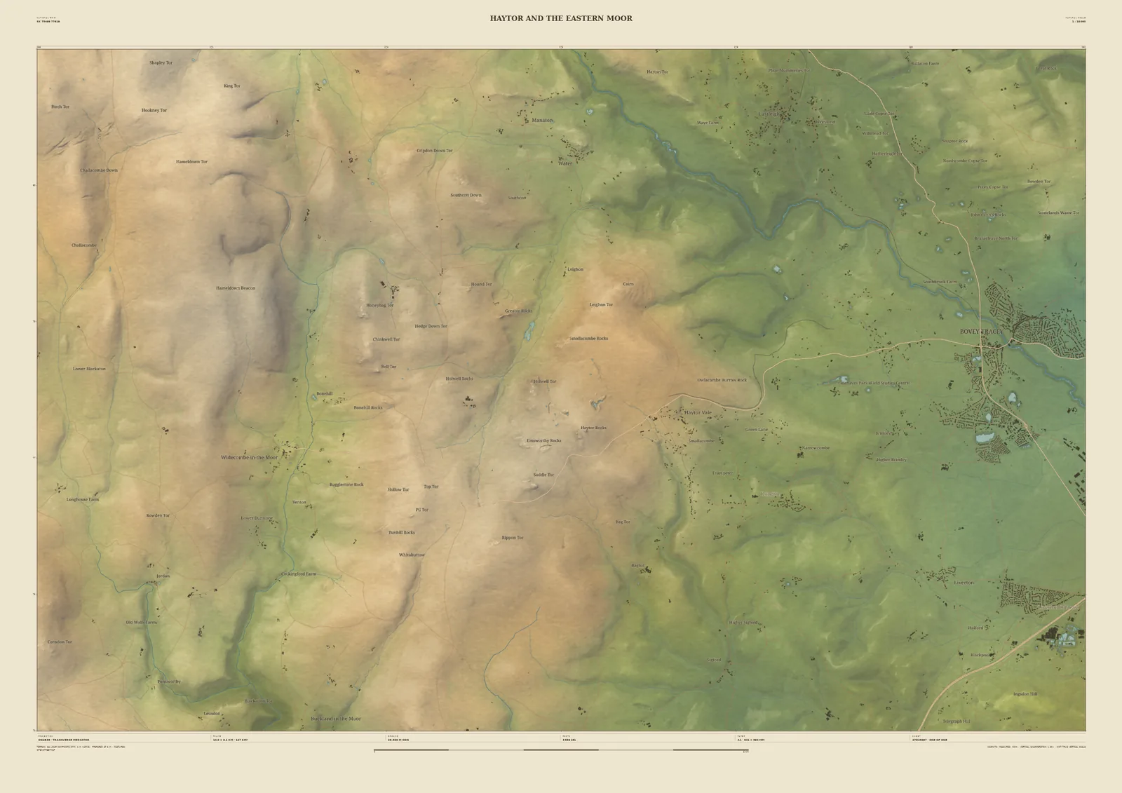
Dartmoor is a high granite plateau topped with tors and cut by the rivers that rise on it. The 33 km frame covers most of the moor: the open tops with dozens of tors named, Princetown at its heart, Burrator Reservoir to the south-west, and the Dart winding down its wooded gorge to the south-east.
The laser survey shows each tor as a small, sharp summit above the rounded moor. It suits Ten Tors walkers, letterboxers, and anyone who grew up looking at the moor from the towns around its edge.
- Widths
- Shown here at 33 km, 14 km across. In the Studio you choose 6, 14, 24 or 33 km, centred wherever you like.
- Terrain
- Environment Agency LiDAR Composite · 1 m measured terrain (England)
- Yours
- Your own title and words on the sheet. You see the finished preview before you pay.
- A2Rolled, to frame yourself£95
- A2Framed, ready to hang£185
- A1Rolled, to frame yourself£120
- A1Framed, ready to hang£250
- A0Rolled, to frame yourself£175
- A0Framed, ready to hang£375
Delivered prices for the 33 km frame. Printed to order on archival paper.