Landscape map print · Worcestershire & Herefordshire
The Malvern Hills map print
A single ridge above the Severn plain
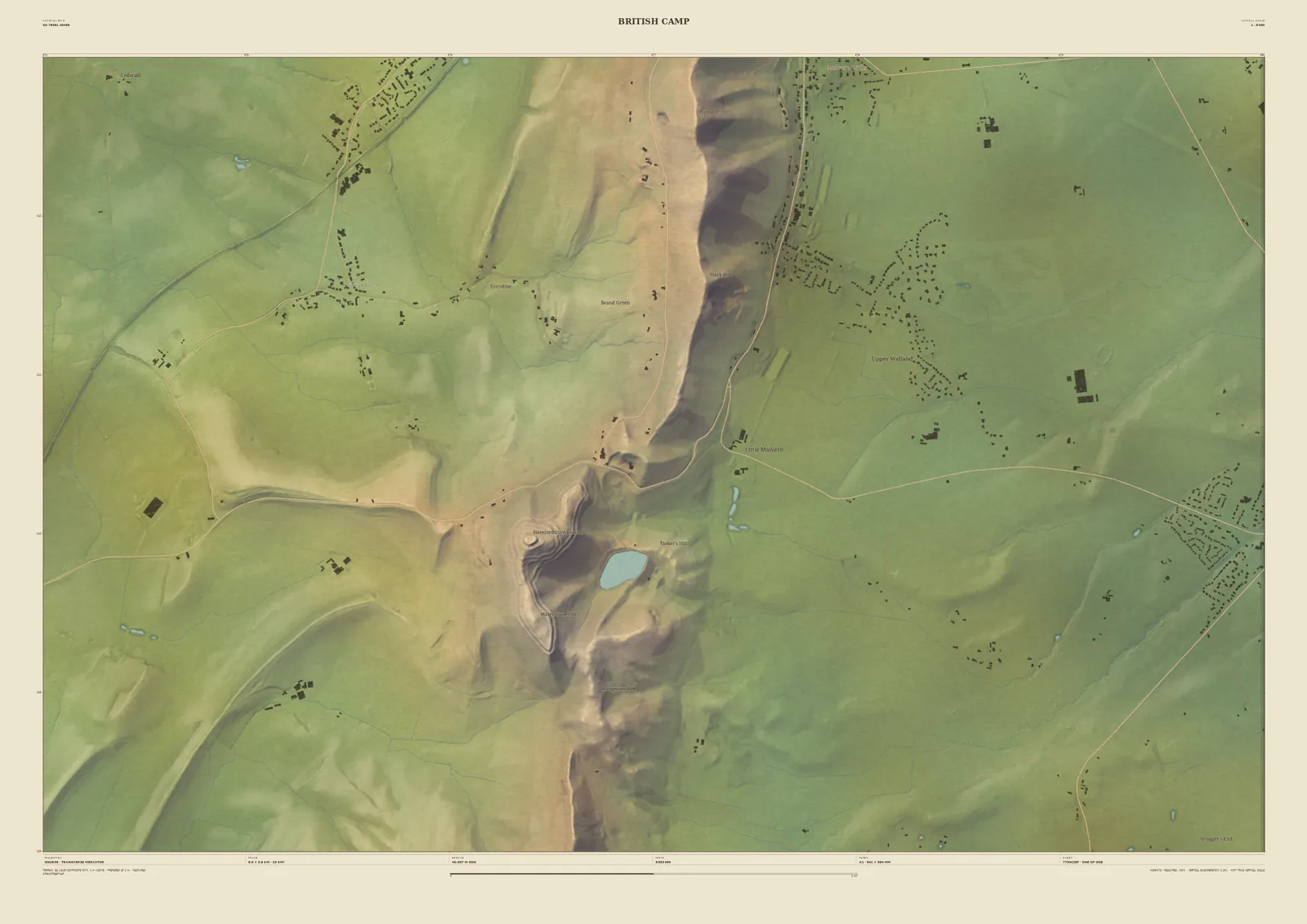
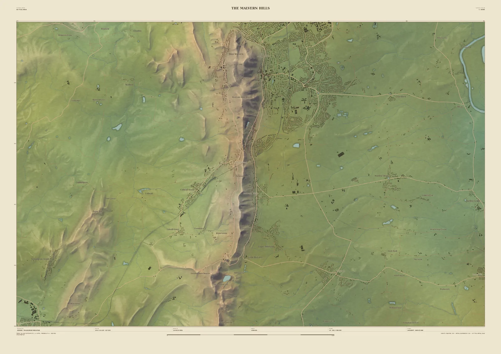
The Malverns are a single narrow ridge of ancient rock, rising suddenly from the flat land on either side. The 14 km frame shows it running north to south, with Great Malvern climbing its eastern slope, the Severn at the eastern edge of the sheet, and British Camp at its southern end.
The laser survey catches how steep and sudden the ridge is against the plain. It suits anyone who has walked the length of the ridge, lived in Malvern, or seen the hills from across the Severn.
- Widths
- Shown here at 14 km, 6 km across. In the Studio you choose 6, 14, 24 or 33 km, centred wherever you like.
- Terrain
- Environment Agency LiDAR Composite · 1 m measured terrain (England)
- Yours
- Your own title and words on the sheet. You see the finished preview before you pay.
- A2Rolled, to frame yourself£95
- A2Framed, ready to hang£185
- A1Rolled, to frame yourself£120
- A1Framed, ready to hang£250
- A0Rolled, to frame yourself£175
- A0Framed, ready to hang£375
Delivered prices for the 14 km frame. Printed to order on archival paper.