Terrain Studio

Terrain Studio · Relief map prints

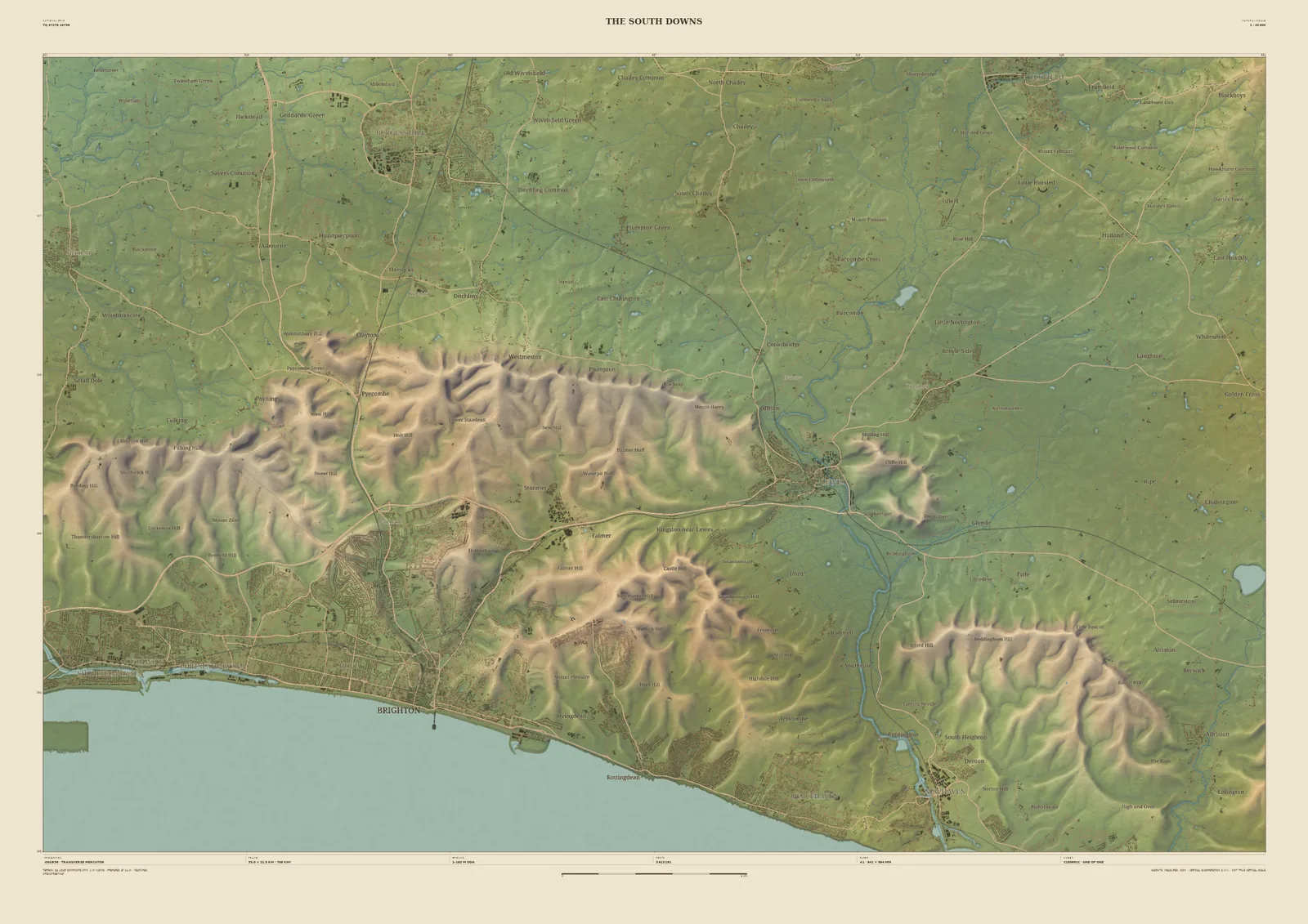
Field & Fell map print of the South Downs, 33 km across, with Brighton on the coast, the chalk escarpment and Lewes on the River Ouse
The South DownsField & Fell · 33 km across · Studio preview
The South Downs · preview, watermarked

Landscape map print · Sussex

The South Downs map print

The chalk escarpment above Brighton, the Ouse and the sea

The South Downs end England’s chalk in a long, rounded escarpment facing north over the Weald. The 33 km frame runs from Brighton’s seafront along the line of the Downs to Lewes, where the Ouse breaks through on its way to the sea at Newhaven, with the scarp folded into deep coombes along its whole length.

The laser survey picks out the dew ponds, the old tracks along the top and the dry valleys running down to the coast. It suits walkers of the South Downs Way, Brighton families, and anyone who has stood on the Downs looking out at the Weald.

Widths
Shown here at 33 km, 14 km, 6 km across. In the Studio you choose 6, 14, 24 or 33 km, centred wherever you like.
Terrain
Environment Agency LiDAR Composite · 1 m measured terrain (England)
Yours
Your own title and words on the sheet. You see the finished preview before you pay.
  • A2Rolled, to frame yourself£95
  • A2Framed, ready to hang£185
  • A1Rolled, to frame yourself£120
  • A1Framed, ready to hang£250
  • A0Rolled, to frame yourself£175
  • A0Framed, ready to hang£375

Delivered prices for the 33 km frame. Printed to order on archival paper.
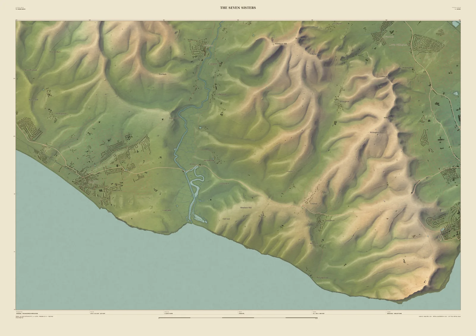
Field & Fell map print of the Seven Sisters, 14 km across, with the meanders of the Cuckmere, Seaford and the chalk cliffs running east towards Eastbourne
The Seven SistersField & Fell · 14 km across · Studio preview
The Seven Sisters · preview, watermarked

Closer in · 14 km across

The Seven Sisters

At 14 km, the coast. The Cuckmere winds through its meanders to the sea between Seaford and the Seven Sisters, and the chalk cliffs run east towards Beachy Head and Eastbourne. The downland valleys behind them come out sharply, and the sea is drawn plainly, so the cliffs read as an edge.

Available at A2, A1 and A0. Terrain: Environment Agency LiDAR Composite · 1 m measured terrain (England)

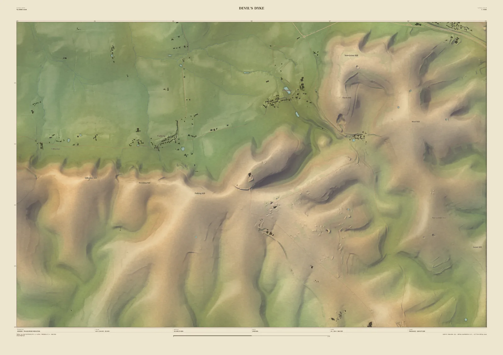
Field & Fell map print of Devil’s Dyke, 6 km across, with the deep dry valley cut into the Downs and Poynings in the Weald below
Devil’s DykeField & Fell · 6 km across · Studio preview
Devil’s Dyke · preview, watermarked

Closer in · 6 km across

Devil’s Dyke

At 6 km, Devil’s Dyke: the deepest dry valley in the Downs, with the scarp running east and west of it and Poynings in the Weald below. Up close the chalk shows its texture, with the old tracks and earthworks on the top and the folds of the slopes.

Available at A2 and A1; A0 starts at 14 km across. Terrain: Environment Agency LiDAR Composite · 1 m measured terrain (England)