Terrain Studio

Terrain Studio · Relief map prints

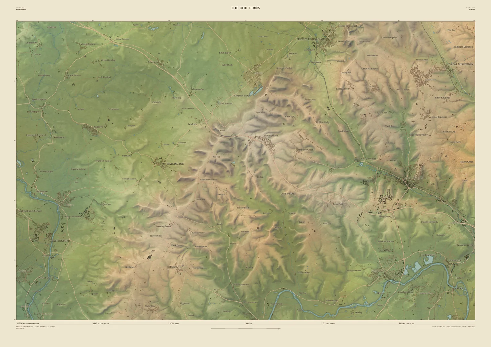
Field & Fell map print of the Chilterns, 33 km across, from Watlington and Princes Risborough to Great Missenden with the Thames along the southern corners
The ChilternsField & Fell · 33 km across · Studio preview
The Chilterns · preview, watermarked

Landscape map print · Oxfordshire & Buckinghamshire

The Chilterns map print

Chalk hills and beech-wood valleys between the Thames and the Vale

The Chilterns rise as a long chalk scarp above the Vale of Aylesbury and fall away south-east to the Thames in a maze of dry valleys and beech woods. This 33 km frame follows the scarp from Watlington to Princes Risborough, with Great Missenden in the north-east corner and the Thames curling across both bottom corners, by Wallingford on one side and Marlow on the other.

England’s 1-metre laser survey shows every fold of it: the coombes cut into the scarp, the hollow ways and the ridges the lanes run along. It’s a print for anyone who walks the Ridgeway, rides the hills or lives in one of the villages, and it is ground we know closely.

Widths
Shown here at 33 km, 14 km, 6 km across. In the Studio you choose 6, 14, 24 or 33 km, centred wherever you like.
Terrain
Environment Agency LiDAR Composite · 1 m measured terrain (England)
Yours
Your own title and words on the sheet. You see the finished preview before you pay.
  • A2Rolled, to frame yourself£95
  • A2Framed, ready to hang£185
  • A1Rolled, to frame yourself£120
  • A1Framed, ready to hang£250
  • A0Rolled, to frame yourself£175
  • A0Framed, ready to hang£375

Delivered prices for the 33 km frame. Printed to order on archival paper.
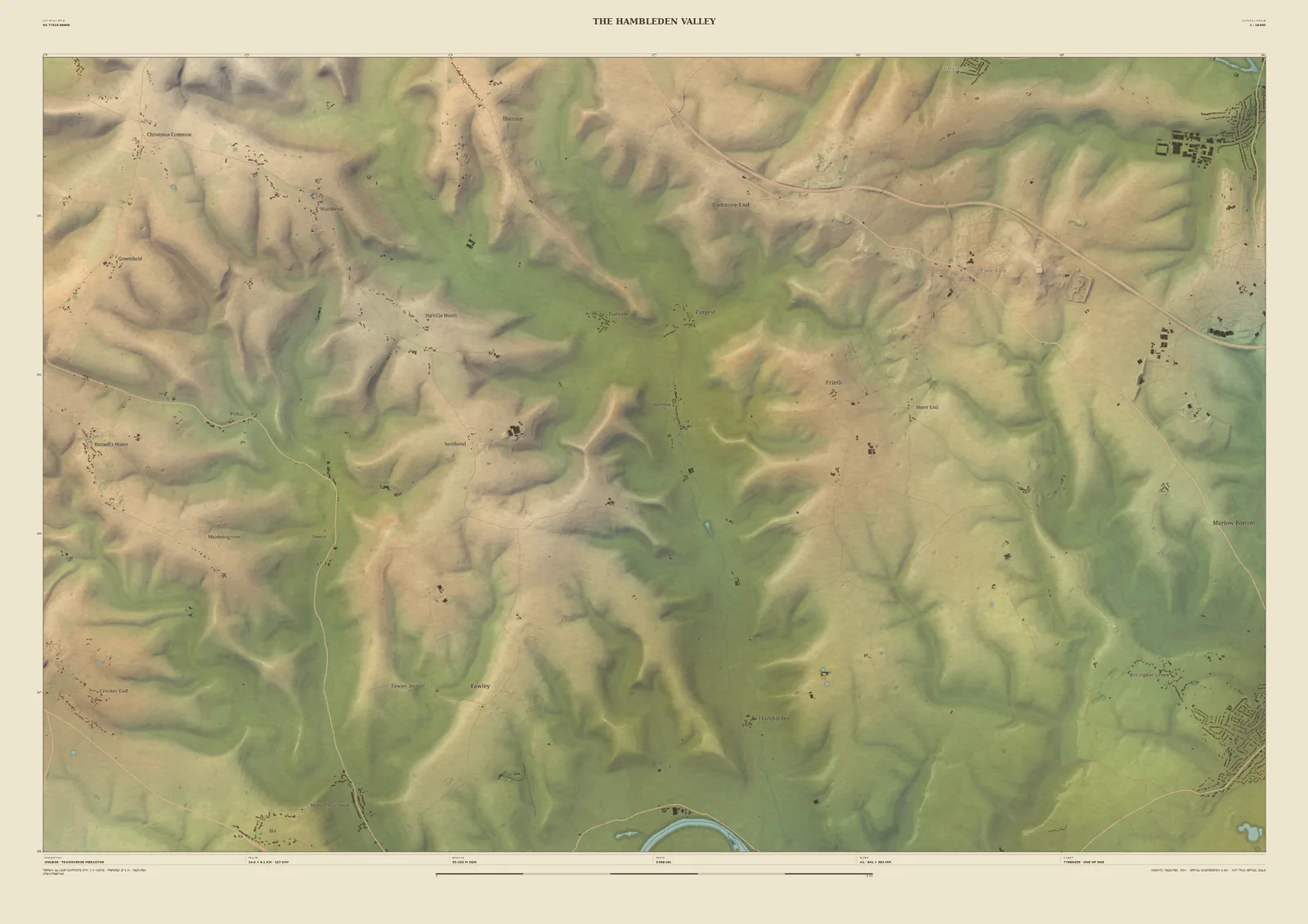
Field & Fell map print of the Hambleden Valley in the Chilterns, 14 km across, with steep wooded valleys running down towards the Thames
The Hambleden ValleyField & Fell · 14 km across · Studio preview
The Hambleden Valley · preview, watermarked

Closer in · 14 km across

The Hambleden Valley

At 14 km the frame closes in on the heart of the southern Chilterns: the Hambleden Valley and its side valleys running south towards the Thames, which just touches the bottom edge. Each spur and dry valley stands out, and farms and hamlets sit where they actually are on the slopes.

Available at A2, A1 and A0. Terrain: Environment Agency LiDAR Composite · 1 m measured terrain (England)

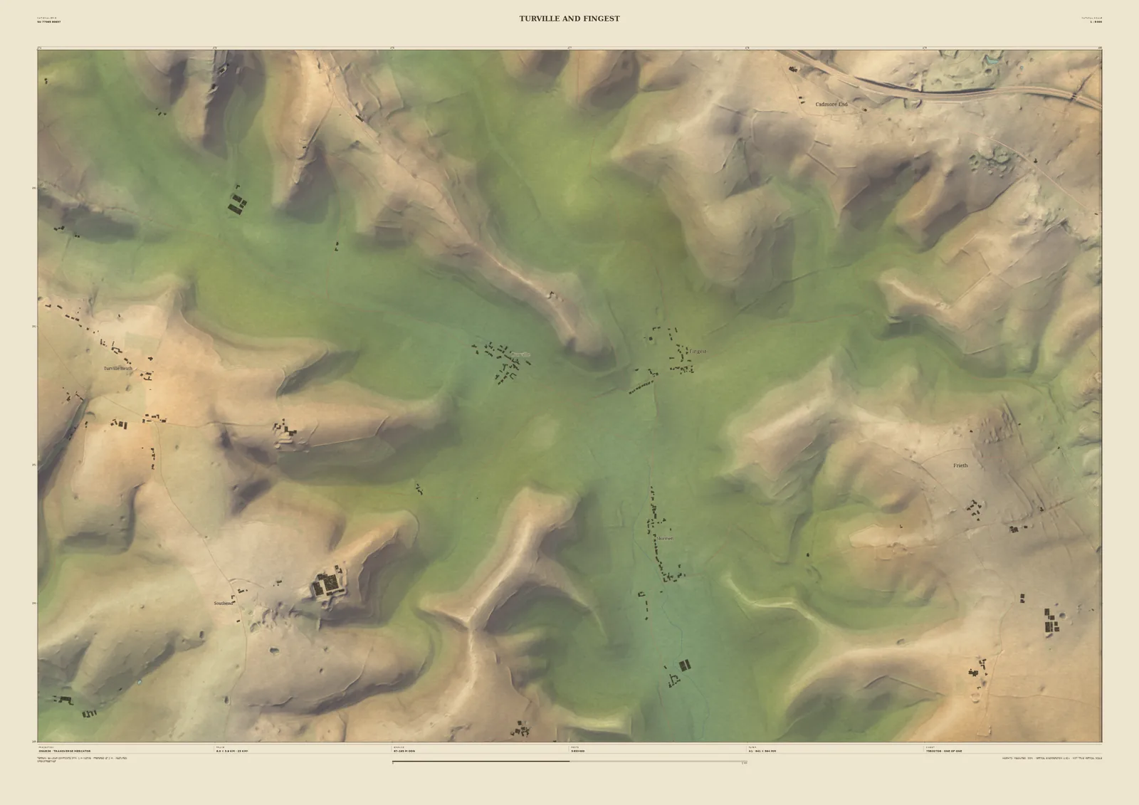
Field & Fell map print of Turville and Fingest, 6 km across, with individual buildings in the valley floor and the M40 crossing the top corner
Turville and FingestField & Fell · 6 km across · Studio preview
Turville and Fingest · preview, watermarked

Closer in · 6 km across

Turville and Fingest

At 6 km, the narrowest frame, it becomes a map of a parish. Turville and Fingest lie in the valley floor with their buildings drawn one by one, Turville Heath is on the hill above, and the M40 just crosses the top corner. Centred on your own village, this is the scale at which you can find your house.

Available at A2 and A1; A0 starts at 14 km across. Terrain: Environment Agency LiDAR Composite · 1 m measured terrain (England)