Terrain Studio

Terrain Studio · Relief map prints

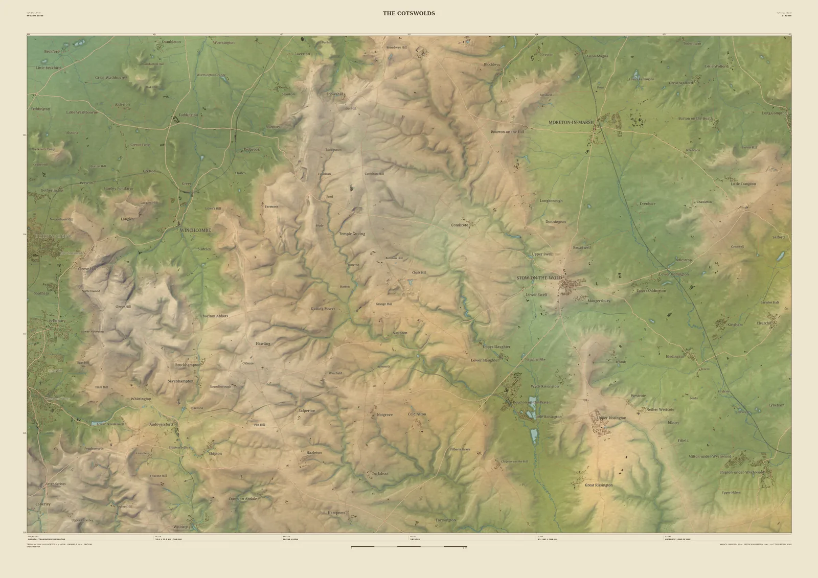
Field & Fell map print of the north Cotswolds, 33 km across, with Winchcombe, Stow-on-the-Wold, Moreton-in-Marsh and the Windrush valley
The CotswoldsField & Fell · 33 km across · Studio preview
The Cotswolds · preview, watermarked

Landscape map print · Gloucestershire

The Cotswolds map print

The high wolds, the Windrush valley and the Cotswold edge

The Cotswolds are high limestone country, tilted so that it rises to a steep edge in the west and falls in long valleys to the east. The 33 km frame takes in the north of it: Winchcombe and Cleeve Hill under the edge, Stow-on-the-Wold on its hilltop, Moreton-in-Marsh, and the Windrush valley running down through Bourton-on-the-Water.

The laser survey shows how the land shapes the villages, which sit in the valleys and along the springs at the foot of the slopes. It suits Cotswold Way walkers, people who have made a home there, and anyone married in one of its churches.

Widths
Shown here at 33 km, 14 km, 6 km across. In the Studio you choose 6, 14, 24 or 33 km, centred wherever you like.
Terrain
Environment Agency LiDAR Composite · 1 m measured terrain (England)
Yours
Your own title and words on the sheet. You see the finished preview before you pay.
  • A2Rolled, to frame yourself£95
  • A2Framed, ready to hang£185
  • A1Rolled, to frame yourself£120
  • A1Framed, ready to hang£250
  • A0Rolled, to frame yourself£175
  • A0Framed, ready to hang£375

Delivered prices for the 33 km frame. Printed to order on archival paper.
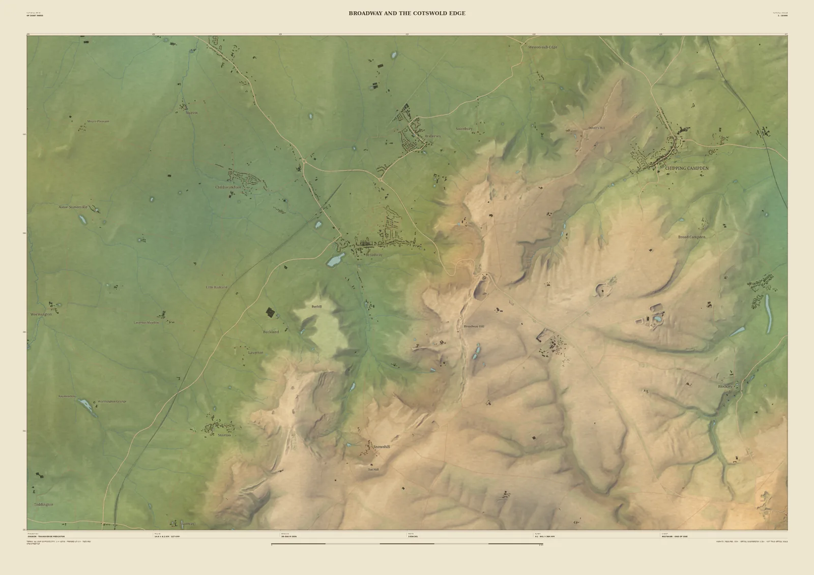
Field & Fell map print of Broadway and the Cotswold Edge, 14 km across, with the escarpment rising from the Vale of Evesham towards Chipping Campden
Broadway and the Cotswold EdgeField & Fell · 14 km across · Studio preview
Broadway and the Cotswold Edge · preview, watermarked

Closer in · 14 km across

Broadway and the Cotswold Edge

At 14 km the frame stands on the Cotswold edge. Broadway lies at the foot of the escarpment, the Vale of Evesham stretches flat to the west, and the high ground runs east to Chipping Campden, so you can see the edge rising sharply out of the vale.

Available at A2, A1 and A0. Terrain: Environment Agency LiDAR Composite · 1 m measured terrain (England)

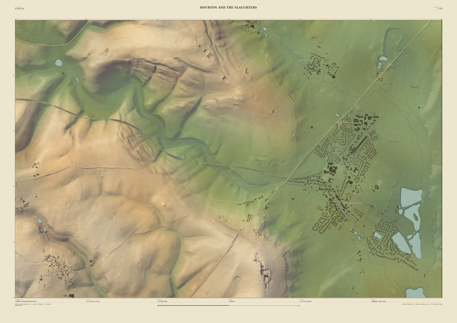
Field & Fell map print of Bourton-on-the-Water and the Slaughters, 6 km across, with the village buildings, the lakes beside it and the wolds to the west
Bourton and the SlaughtersField & Fell · 6 km across · Studio preview
Bourton and the Slaughters · preview, watermarked

Closer in · 6 km across

Bourton and the Slaughters

At 6 km, Bourton-on-the-Water with its streets and lakes, the Slaughters just up the valley, and the wold rising to the west. At this scale individual houses are drawn, so it works for the village you married in, or the one you moved to.

Available at A2 and A1; A0 starts at 14 km across. Terrain: Environment Agency LiDAR Composite · 1 m measured terrain (England)