Terrain Studio

Terrain Studio · Relief map prints

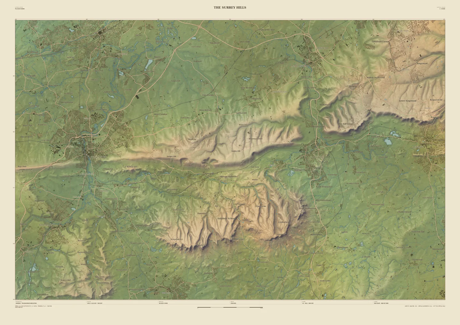
Field & Fell map print of the Surrey Hills, 33 km across, with Guildford, the North Downs ridge, Dorking in the Mole Gap and the greensand hills to the south
The Surrey HillsField & Fell · 33 km across · Studio preview
The Surrey Hills · preview, watermarked

Landscape map print · Surrey

The Surrey Hills map print

The North Downs and the greensand hills, from Guildford to Box Hill

The Surrey Hills are two ridges: the chalk of the North Downs, and south of them the higher sandstone hills around Leith Hill and Holmbury. This 33 km frame runs from Guildford on the Wey in the west to the Mole Gap at Dorking and on towards Reigate, with the deep, wooded valleys of the greensand country filling the south of the sheet.

It’s drawn from the 1-metre laser survey, which shows the two ridges clearly as different kinds of ground: smooth chalk slopes to the north, and steep, gullied sandstone to the south. It suits North Downs Way walkers, cyclists who know Box Hill, and anyone living under the hills.

Widths
Shown here at 33 km, 14 km, 6 km across. In the Studio you choose 6, 14, 24 or 33 km, centred wherever you like.
Terrain
Environment Agency LiDAR Composite · 1 m measured terrain (England)
Yours
Your own title and words on the sheet. You see the finished preview before you pay.
  • A2Rolled, to frame yourself£95
  • A2Framed, ready to hang£185
  • A1Rolled, to frame yourself£120
  • A1Framed, ready to hang£250
  • A0Rolled, to frame yourself£175
  • A0Framed, ready to hang£375

Delivered prices for the 33 km frame. Printed to order on archival paper.
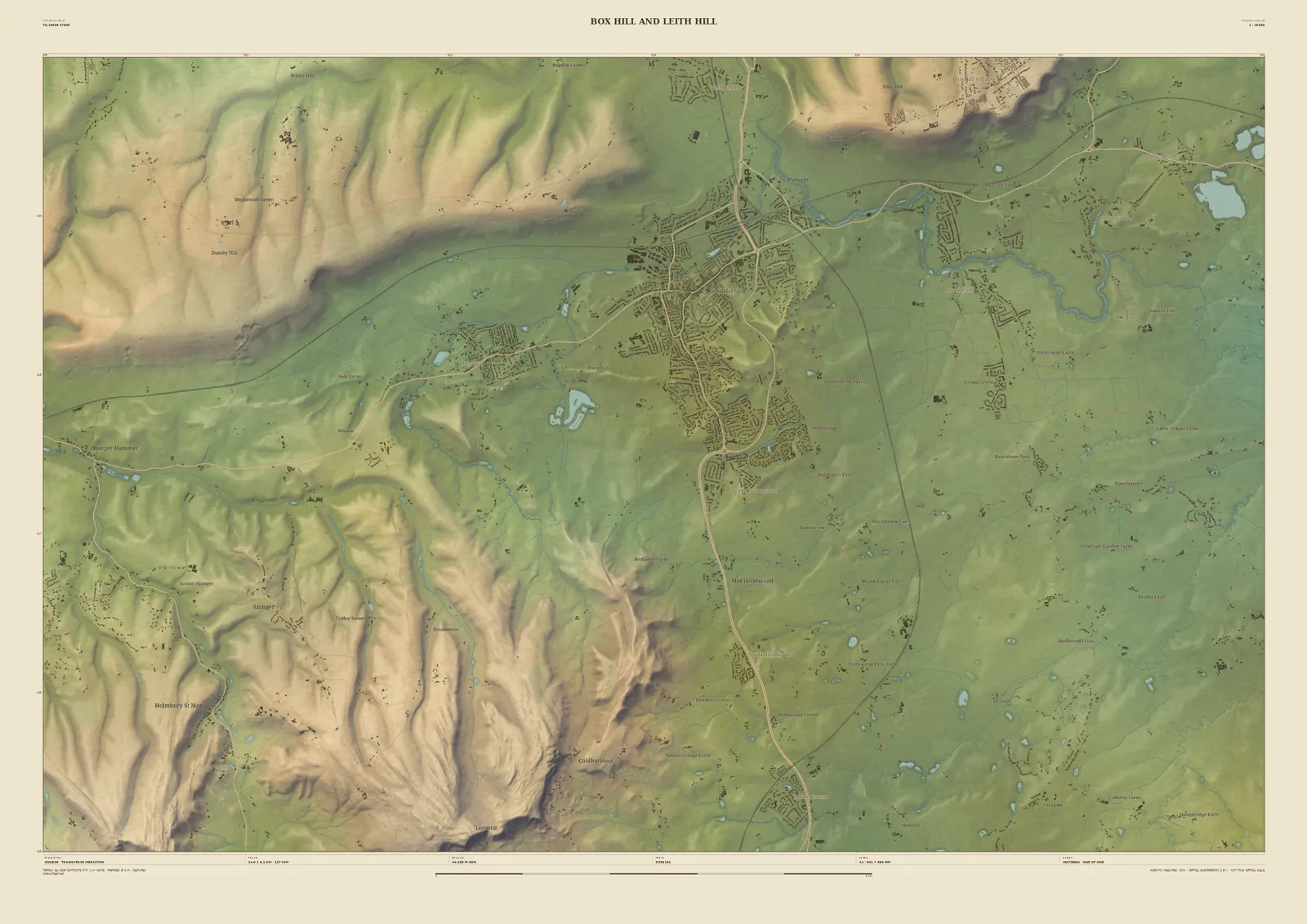
Field & Fell map print of Dorking between Box Hill and Leith Hill, 14 km across, with the North Downs above and the greensand valleys below
Box Hill and Leith HillField & Fell · 14 km across · Studio preview
Box Hill and Leith Hill · preview, watermarked

Closer in · 14 km across

Box Hill and Leith Hill

At 14 km Dorking is at the centre, in the gap the Mole cuts through the Downs. The chalk ridge runs west from Box Hill above Ranmore, and the valleys of the greensand hills climb south towards Leith Hill and Holmbury St Mary.

Available at A2, A1 and A0. Terrain: Environment Agency LiDAR Composite · 1 m measured terrain (England)

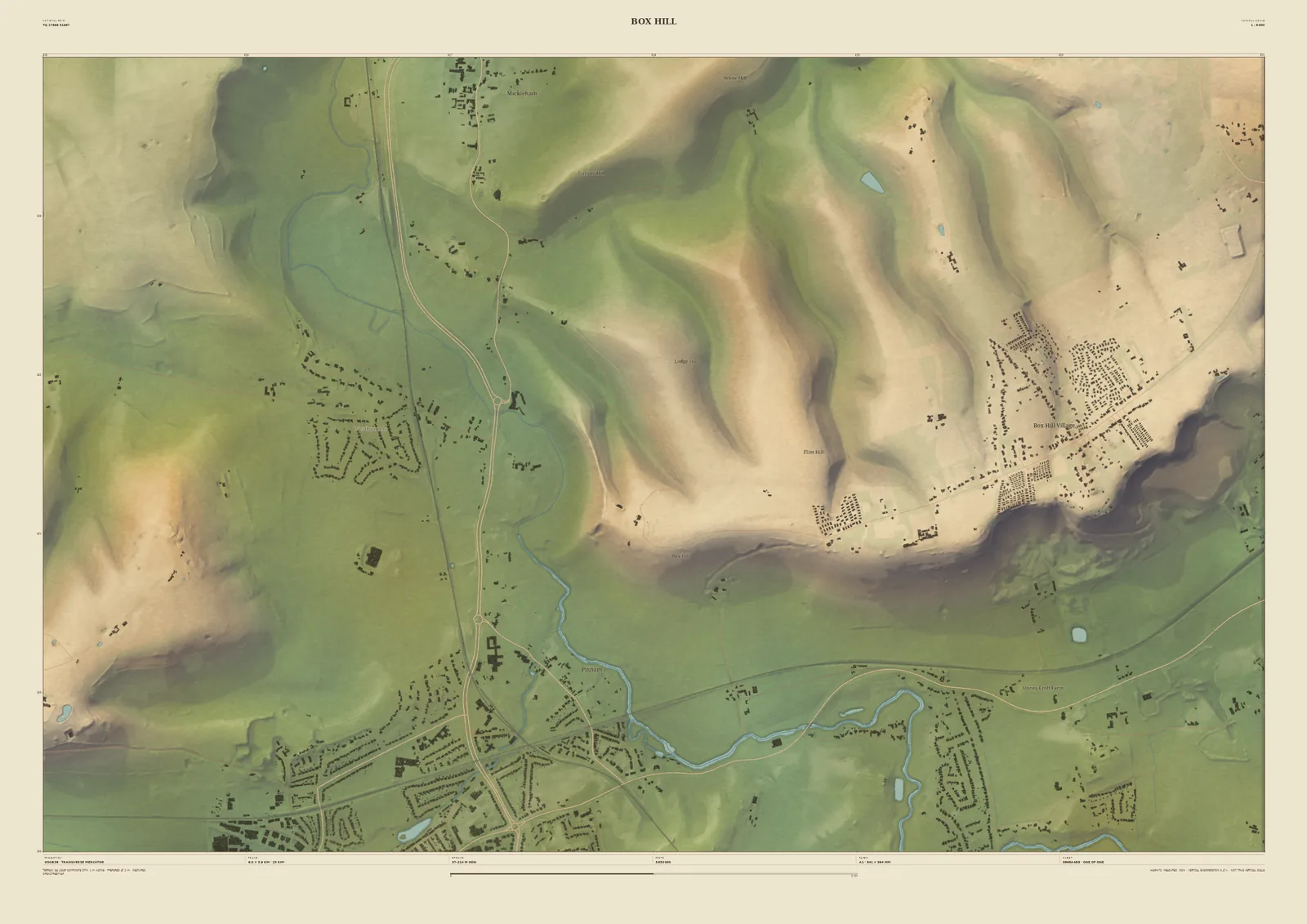
Field & Fell map print of Box Hill, 6 km across, with the steep chalk face above the River Mole and the roads winding up the hill
Box HillField & Fell · 6 km across · Studio preview
Box Hill · preview, watermarked

Closer in · 6 km across

Box Hill

At 6 km, Box Hill: the steep chalk face above the River Mole, the winding road up it known to every cyclist, and the village spread along the top. The houses below are drawn one by one.

Available at A2 and A1; A0 starts at 14 km across. Terrain: Environment Agency LiDAR Composite · 1 m measured terrain (England)