Bartholomew editions · maps printed 1902–06
The old half-inch maps, lit by the real ground.
20 places from John Bartholomew & Son’s layer-coloured maps of the early 1900s. Each is aligned to the ground and lit by measured terrain, so the hills stand up from the paper. Or choose an area of your own.
The editions
Mountains, downs, rivers and cities.
Each edition is designed at one size and sold at that size or smaller. A smaller print is the same map, printed smaller. Close-ups are made for A2 alone.
Priced like every Terrain Studio print, including UK delivery: A2 £95 rolled · £185 framed; A1 £120 rolled · £250 framed; A0 £175 rolled only.
20 editions
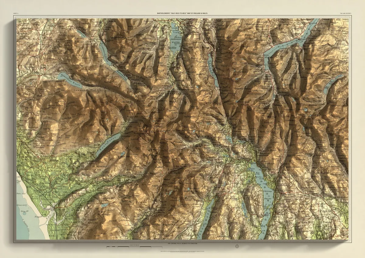
England & Wales · printed 1903 · 48 × 32 km
The Lake District
The central fells, Keswick to Coniston
A2 · A1 · A0From £95England & Wales · printed 1904 · 48 × 32 km
Eryri
Snowdon, the Glyderau and the Carneddau
A2 · A1 · A0From £95Scotland · printed 1903–04 · 48 × 32 km
Glen Coe & Ben Nevis
Lochaber and the edge of Rannoch Moor
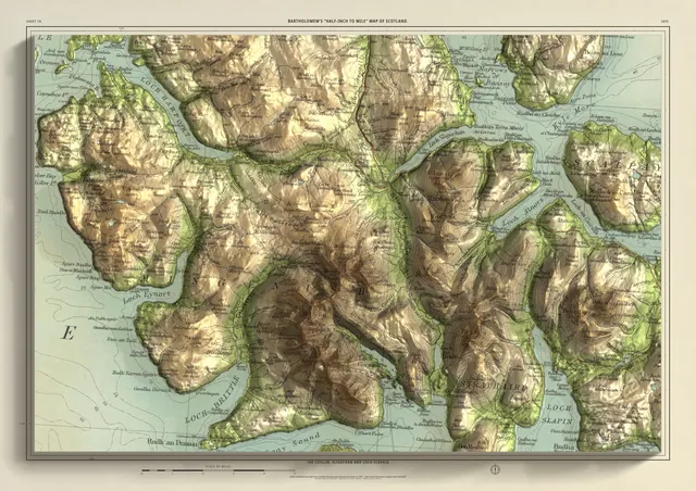
A2 · A1 · A0From £95Scotland · printed 1904 · 33 × 22 km
Skye
The Cuillin, Sligachan and Loch Scavaig
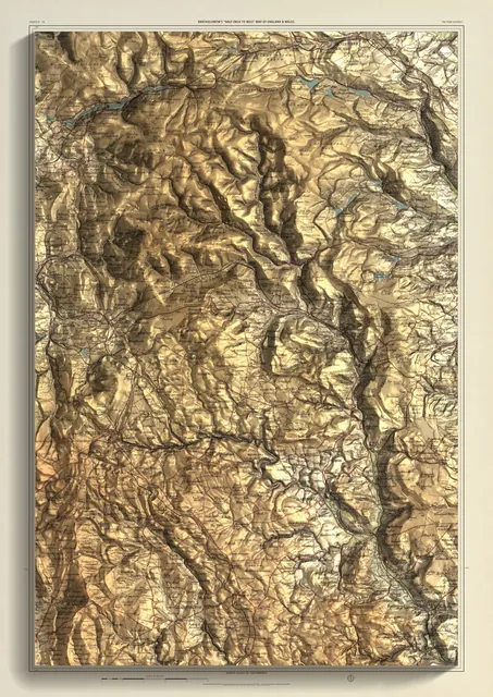
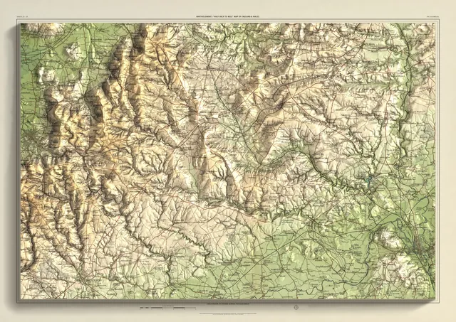
A2 · A1From £95England & Wales · printed 1902–04 · 32 × 48 km
The Peak District
Kinder Scout to Chatsworth
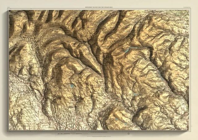
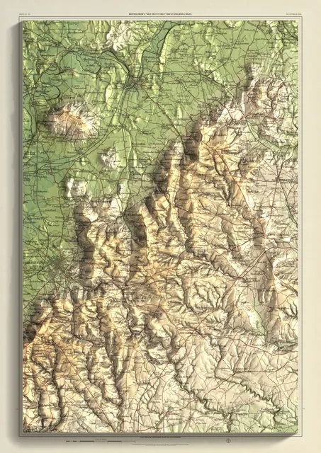
A2 · A1 · A0From £95England & Wales · printed 1906 · 48 × 32 km
The Yorkshire Dales
The Three Peaks, Malham and Wharfedale
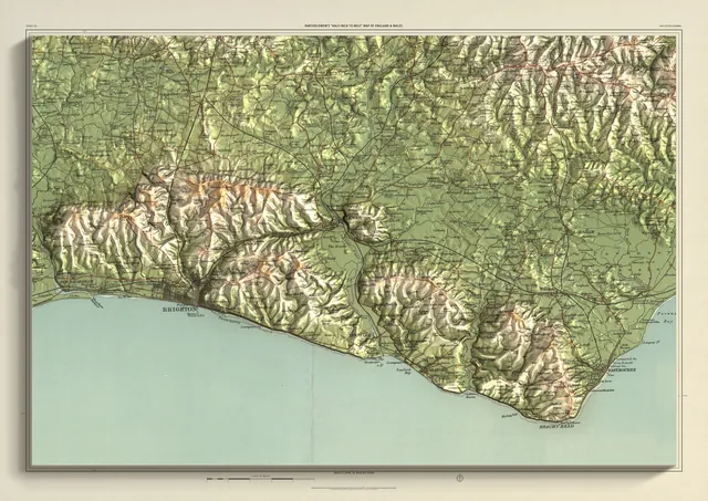
A2 · A1 · A0From £95England & Wales · printed 1902 · 48 × 32 km
The South Downs
Devil's Dyke to Beachy Head
A2 · A1 · A0From £95England & Wales · printed 1902–03 · 60 × 40 km
The Cotswolds
Cheltenham to Oxford across the high wold
A2 · A1 · A0From £95England & Wales · printed 1902–03 · 32 × 48 km
The Cotswold Edge
Cheltenham, Broadway and the escarpment
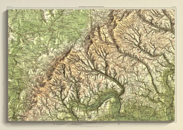
A2 · A1 · A0From £95England & Wales · printed 1902–03 · 48 × 32 km
The Chilterns
The Goring Gap to Tring
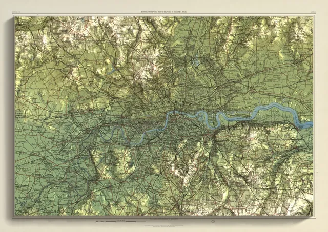
A2 · A1 · A0From £95England & Wales · printed 1903 · 48 × 32 km
London
The Thames from Richmond to Greenwich
A2 · A1 · A0From £95England & Wales · printed 1902 · 28 × 39.5 km
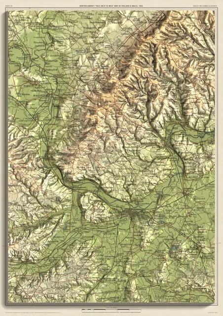
Henley-on-Thames & DistrictPair
Reading, Henley and the Goring Gap
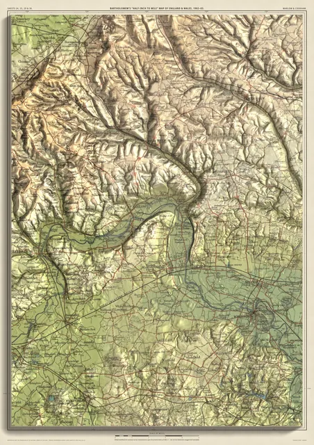
A2 · A1From £95England & Wales · printed 1902–03 · 28 × 39.5 km
The Thames at Marlow & CookhamPair
Marlow, Bourne End, Cookham and Maidenhead
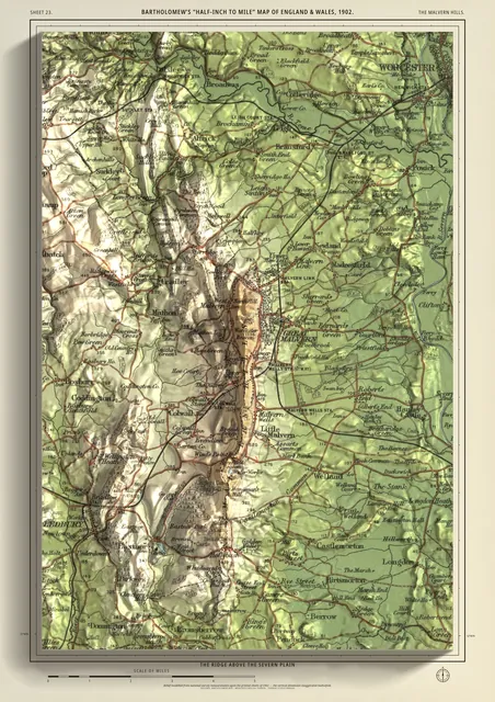
A2 · A1From £95England & Wales · printed 1902 · 16 × 24 km
The Malvern HillsClose-up
The ridge above the Severn plain
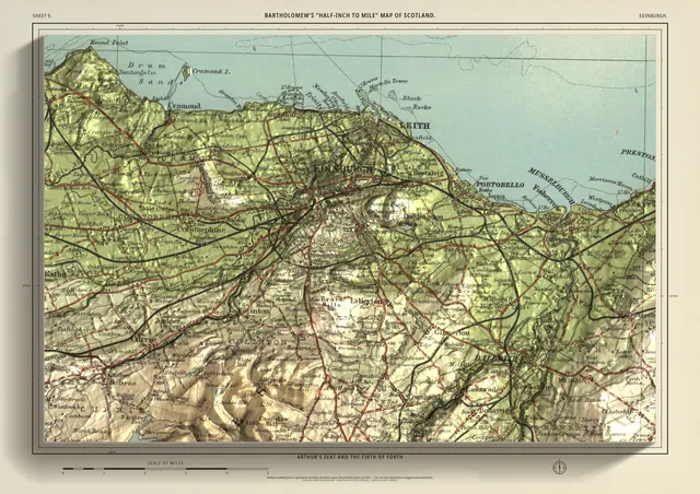
A2From £95Scotland · printed 1903 · 24 × 16 km
EdinburghClose-up
Arthur's Seat and the Firth of Forth
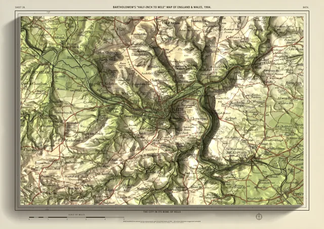
A2From £95England & Wales · printed 1904 · 24 × 16 km
BathClose-up
The city in its bowl of hills
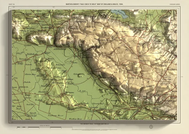
A2From £95England & Wales · printed 1904 · 24 × 16 km
Cheddar GorgeClose-up
The Mendip edge, Cheddar and Wells
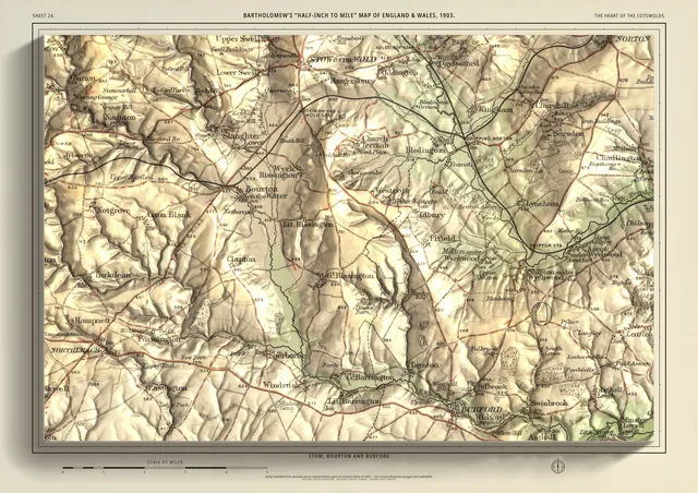
A2From £95England & Wales · printed 1903 · 24 × 16 km
The Heart of the CotswoldsClose-up
Stow, Bourton and Burford
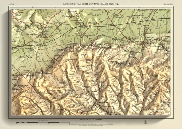
A2From £95England & Wales · printed 1902 · 24 × 16 km
The White HorseClose-up
Uffington and the Ridgeway
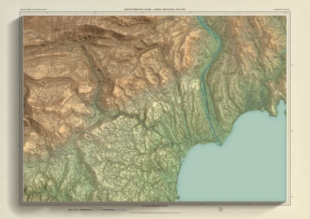
A2From £95France · printed 1933–1937 · 37 × 26.2 km
Grasse to Nice
Special edition, one of one: the old line through Tourrettes-sur-Loup and Vence
A1From £120
Anywhere you choose
Your own area, proofed before you pay.
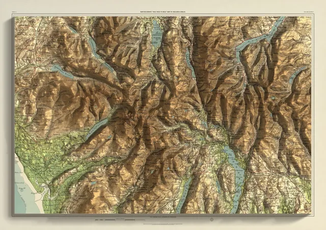
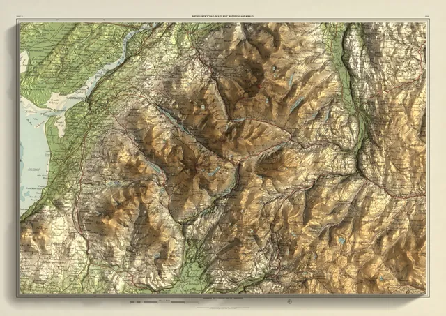
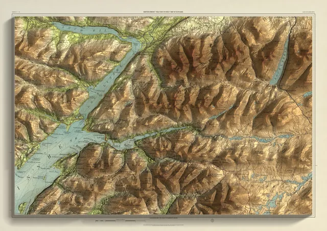
Place a frame anywhere in England, Wales or Scotland. We align the sheets it needs, send you a proof, and you pay only if you want the print.
Choose your area- Position the frameA2 is 24 km on the long side, A1 33 km, A0 48 km. Portrait or landscape.
- We make a proofWe join and align the sheets your frame crosses and email you the proof.
- Pay only if you like itNothing is charged to request a proof. If you want the print, it costs the same as any edition of that size: from £95 at A2.
The mapmakers
Who was Bartholomew?
John Bartholomew & Son were mapmakers in Edinburgh. John Bartholomew senior, an engraver, set up the business in 1826.
Under John George Bartholomew (1860–1920) the firm made its name with layer colouring: each band of height printed in its own colour, from pale green on the low ground through deepening browns to the tops.
Their half-inch-to-the-mile maps became the firm’s best-known series, popular with cyclists and tourists. The company’s archive has been at the National Library of Scotland since 1995.
The series we use
- ½″Half an inch to the mile
A scale of 1:126,720 — wide enough to hold a whole range of hills, close enough to name the villages.
- c.Printed about 1902–06
Two series: England & Wales, and Scotland. Every edition names the sheets it comes from and the years they were printed.
- ◐Layer tints
Green lowland rising to brown high ground, with water in blue. The tints are the original printers’; the light and shade are ours.
From the sheet to your wall
How the prints are made.
Each edition starts with an original Bartholomew sheet and ends as a flat print. The relief you see is light and shade calculated from the real shape of the ground; nothing on the paper is raised.
Because the sheets are joined where a frame needs them, an edition is framed around a place rather than cut to where an old sheet happened to end.
- 01The original sheet
John Bartholomew & Son’s “Half-inch to mile” maps of England & Wales and of Scotland, printed about 1902–06, from the National Library of Scotland’s scans.
- 02Aligned to the ground
Each sheet is fitted to the real ground to within metres, so the hills on the paper sit where the hills are.
- 03Lit by measured terrain
Environment Agency LiDAR in England; Copernicus satellite elevation in Wales and Scotland. Height is exaggerated about twelve times so the hills stand up at this scale.
- 04Joined across sheet edges
Where a frame crosses the edge of a sheet, the neighbouring sheet is joined in and the join is placed so place-names stay whole. That is why a frame can sit anywhere, not only on the old sheet lines.
- 05Printed
Giclée on archival paper, made to order by our print partner. The border, title and scale are set new for each edition.