Bartholomew edition · England
The Cotswolds
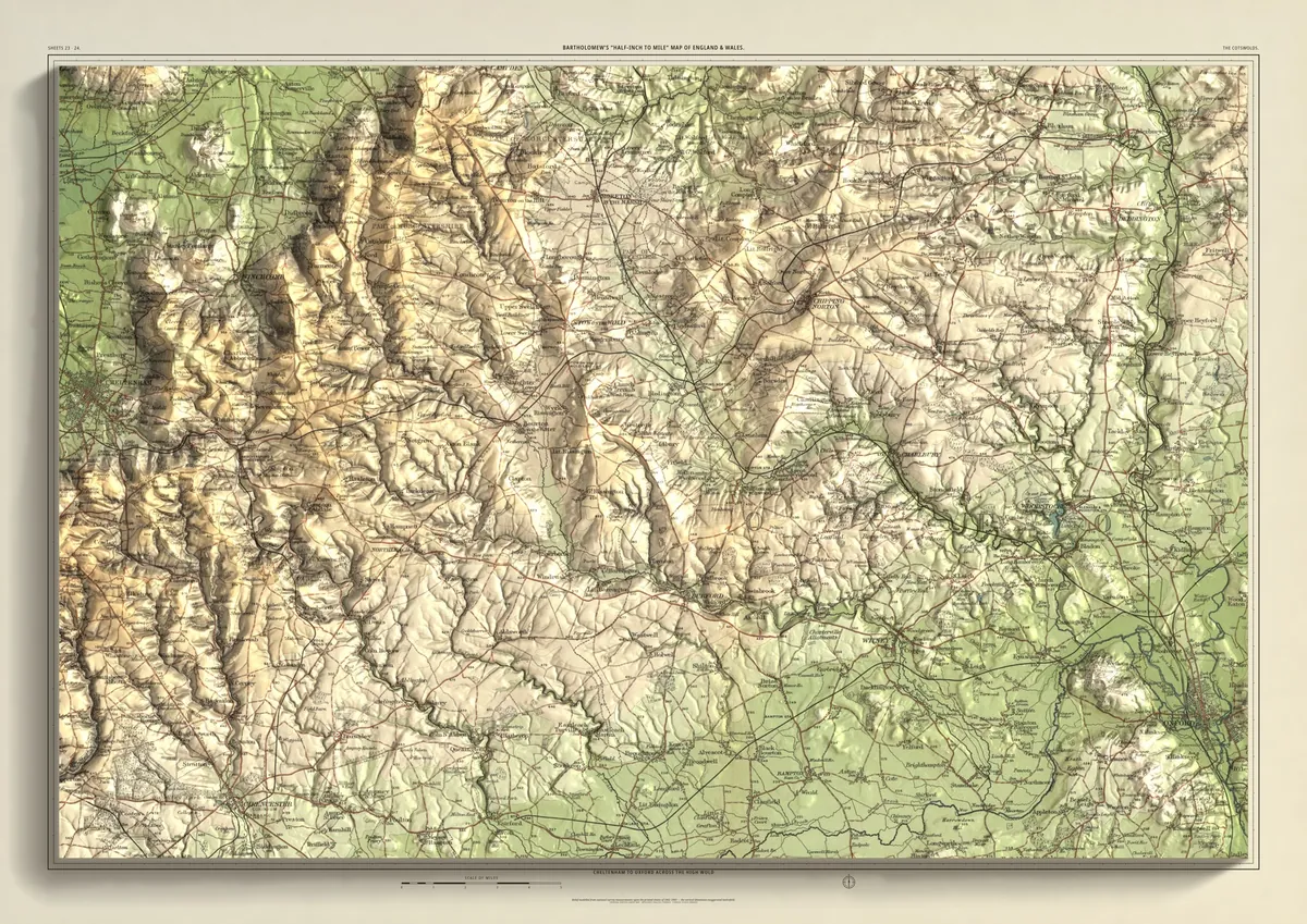
Cheltenham to Oxford across the high wold
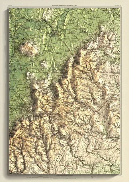
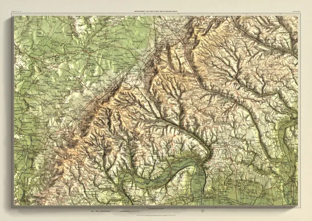
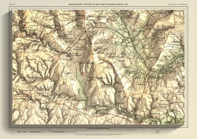
The whole high wold in one frame, 60 km across: Cheltenham under the escarpment on the western edge, then east through Winchcombe, Northleach, Bourton-on-the-Water, Stow-on-the-Wold and Burford to Chipping Norton, Woodstock and Blenheim, Witney and Oxford at the eastern edge. The widest frame in the range, joined from two sheets.
- A2594 × 420 mmThe same map, printed smaller£95 rolled · £185 framed
- A1841 × 594 mmThe same map, printed smaller£120 rolled · £250 framed
- A01189 × 841 mmThe size it was designed for£175 rolled only
Every size shows the whole 60 × 40 km. A smaller size is the same map printed smaller, made to order at that size.
- From
- Bartholomew’s “Half-inch to mile” map, England & Wales sheets 23 and 24
- Printed
- 1902–03
- Scale
- Half an inch to the mile (1:126,720) on the original sheet
- Terrain
- Environment Agency LiDAR, height exaggerated about twelve times
- Giclée on archival paper, made to order. A flat print: the relief is light and shade.
- Edition
- Open, not numbered
Including UK delivery. You check your order on the next page before paying by card.