Bartholomew edition · England
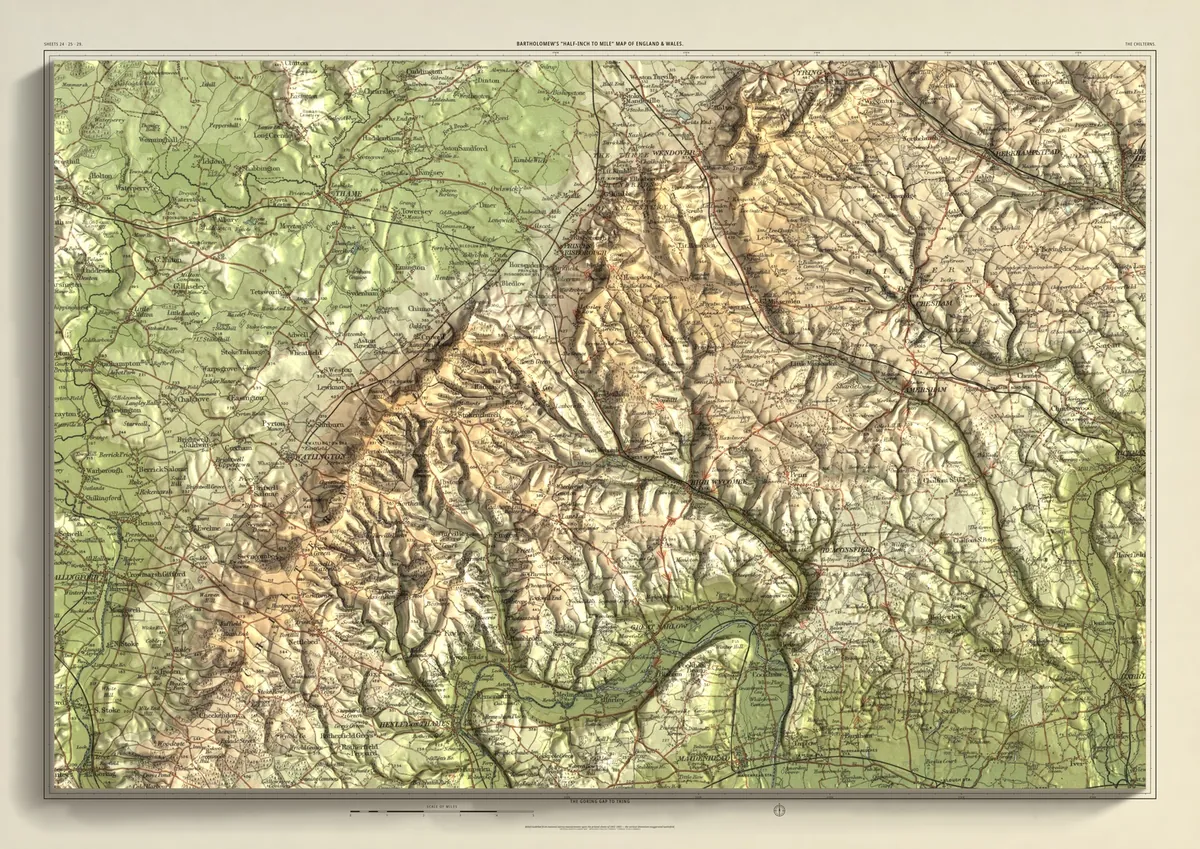
The Chilterns
The Goring Gap to Tring
The chalk scarp from the Goring Gap, where the Thames cuts through the hills, north-east past Watlington, Chinnor, Princes Risborough and Wendover to Tring. The clay vale around Thame lies below the scarp; behind it the wooded dip slope carries High Wycombe, Great Missenden, Amersham and Berkhamsted, with Henley-on-Thames in the south.
- A2594 × 420 mmThe same map, printed smaller£95 rolled · £185 framed
- A1841 × 594 mmThe same map, printed smaller£120 rolled · £250 framed
- A01189 × 841 mmThe size it was designed for£175 rolled only
Every size shows the whole 48 × 32 km. A smaller size is the same map printed smaller, made to order at that size.
- From
- Bartholomew’s “Half-inch to mile” map, England & Wales sheets 24, 25 and 29
- Printed
- 1902–03
- Scale
- Half an inch to the mile (1:126,720) on the original sheet
- Terrain
- Environment Agency LiDAR, height exaggerated about twelve times
- Giclée on archival paper, made to order. A flat print: the relief is light and shade.
- Edition
- Open, not numbered
Including UK delivery. You check your order on the next page before paying by card.