Bartholomew edition · England · close-up
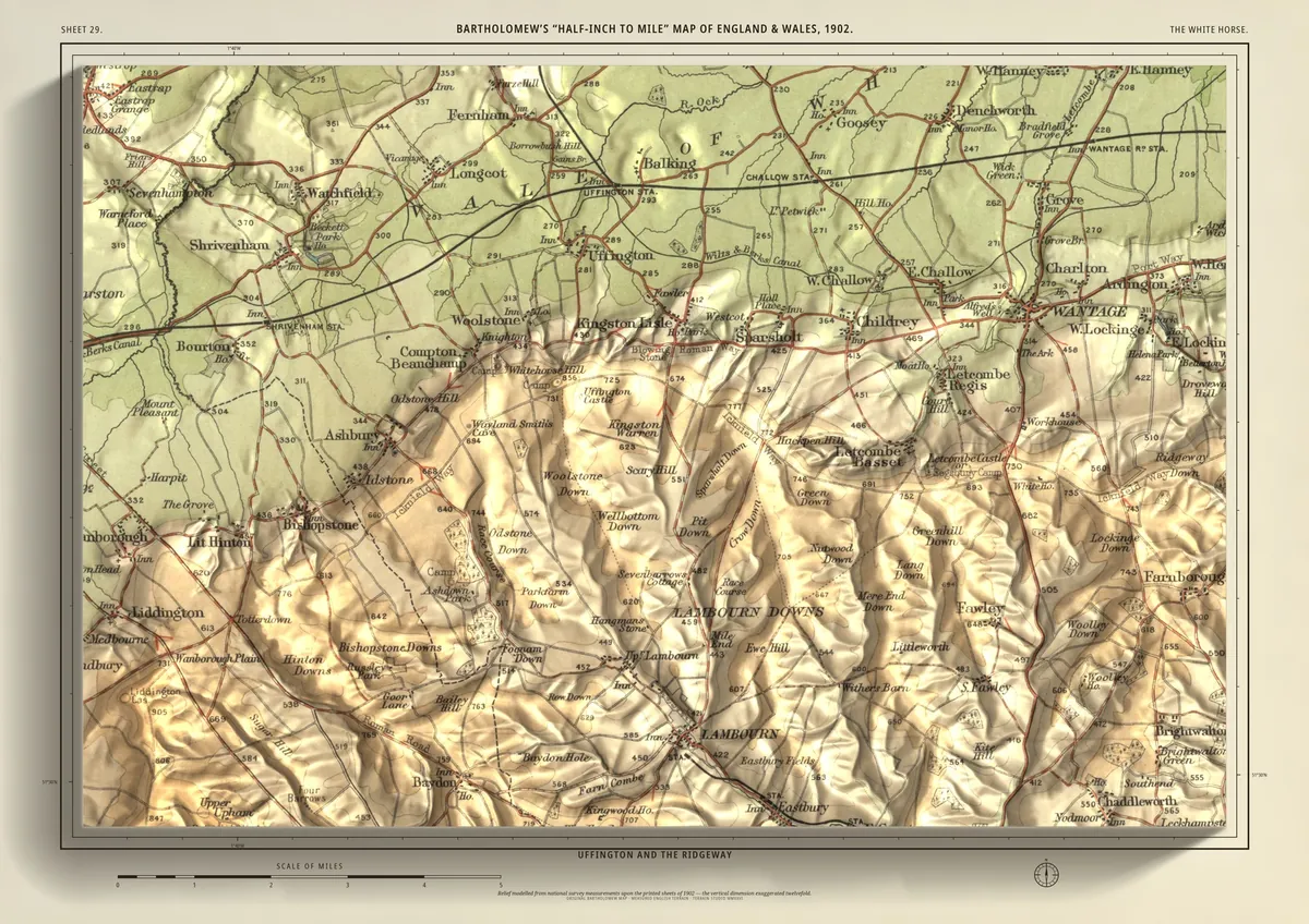
The White Horse
Uffington and the Ridgeway
A close-up of the chalk downs above the Vale of White Horse: Uffington, with the White Horse cut into the hill above it, Dragon Hill below and Wayland's Smithy along the Ridgeway to the west. The vale spreads north past Childrey and Shrivenham, Wantage sits at the eastern foot of the downs, and Lambourn lies in its valley to the south.
- A2594 × 420 mmThe size it was designed for£95 rolled · £185 framed
Made for A2 only: the close-ups are drawn to be read at this size.
- From
- Bartholomew’s “Half-inch to mile” map, England & Wales sheet 29
- Printed
- 1902
- Scale
- Half an inch to the mile (1:126,720) on the original sheet
- Terrain
- Environment Agency LiDAR, height exaggerated about twelve times
- Giclée on archival paper, made to order. A flat print: the relief is light and shade.
- Edition
- Open, not numbered
Including UK delivery. You check your order on the next page before paying by card.