Bartholomew edition · England
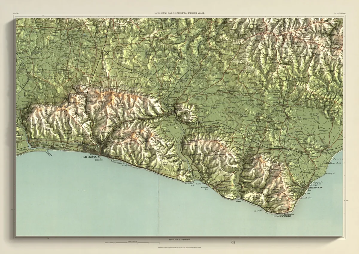
The South Downs
Devil's Dyke to Beachy Head
The eastern Downs, from Devil's Dyke and Ditchling Beacon above Brighton and Hove, across the Ouse at Lewes and over Firle Beacon, to the Cuckmere, the Seven Sisters and Beachy Head above Eastbourne. The chalk ends in cliffs along the bottom of the sheet, and the Weald spreads north towards Uckfield.
- A2594 × 420 mmThe same map, printed smaller£95 rolled · £185 framed
- A1841 × 594 mmThe same map, printed smaller£120 rolled · £250 framed
- A01189 × 841 mmThe size it was designed for£175 rolled only
Every size shows the whole 48 × 32 km. A smaller size is the same map printed smaller, made to order at that size.
- From
- Bartholomew’s “Half-inch to mile” map, England & Wales sheet 32
- Printed
- 1902
- Scale
- Half an inch to the mile (1:126,720) on the original sheet
- Terrain
- Environment Agency LiDAR, height exaggerated about twelve times
- Giclée on archival paper, made to order. A flat print: the relief is light and shade.
- Edition
- Open, not numbered
Including UK delivery. You check your order on the next page before paying by card.