On the wall
- A1 framed · living room
- A1 framed · sitting room
- A1 framed · cottage
- A2 framed · hallway
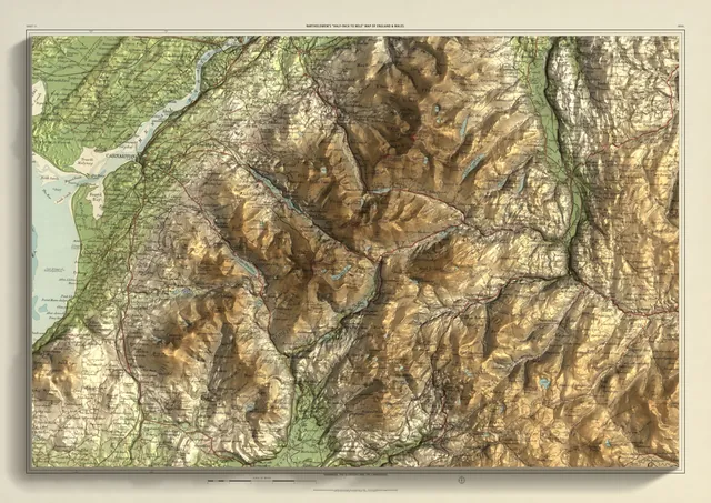
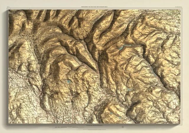
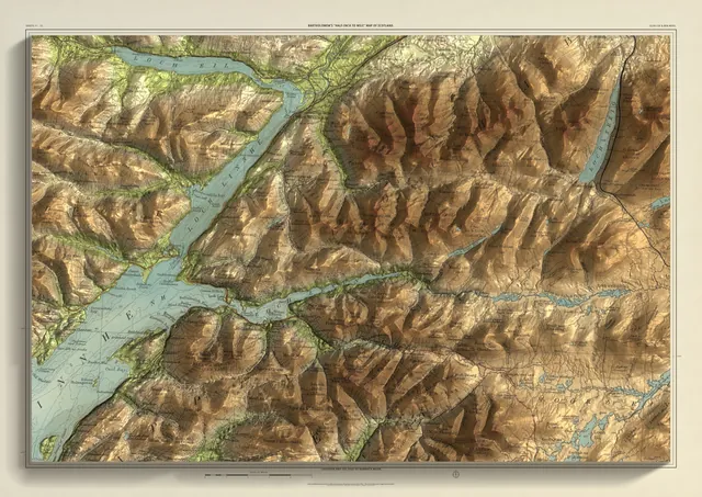
Room visualisations, not customer photos: the rooms are illustrations, with this print placed in at its size in a black frame.
Bartholomew edition · England
The Lake District
The central fells, Keswick to Coniston
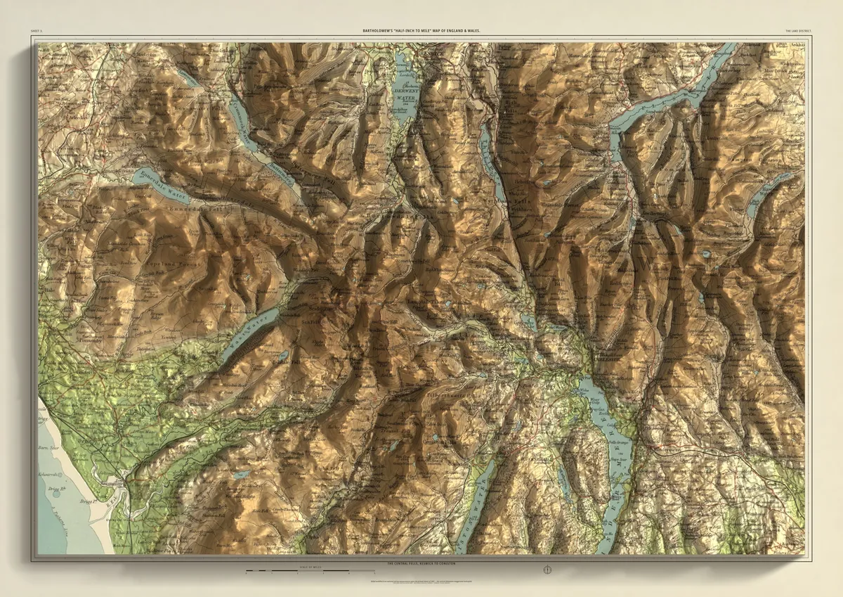
The central fells on one sheet. Scafell Pike and Great Gable stand at the heart, Helvellyn to the east, and the lakes lie between them: Derwentwater, Buttermere, Ennerdale Water and Wastwater to the west, Ullswater and the head of Windermere to the east. Keswick sits near the top edge, Ambleside and Grasmere in the middle and Coniston towards the foot, and in the south-west corner the fells run down to the coast.
- A2594 × 420 mmThe same map, printed smaller£95 rolled · £185 framed
- A1841 × 594 mmThe same map, printed smaller£120 rolled · £250 framed
- A01189 × 841 mmThe size it was designed for£175 rolled only
Every size shows the whole 48 × 32 km. A smaller size is the same map printed smaller, made to order at that size.
- From
- Bartholomew’s “Half-inch to mile” map, England & Wales sheet 3
- Printed
- 1903
- Scale
- Half an inch to the mile (1:126,720) on the original sheet
- Terrain
- Environment Agency LiDAR, height exaggerated about twelve times
- Giclée on archival paper, made to order. A flat print: the relief is light and shade.
- Edition
- Open, not numbered
Including UK delivery. You check your order on the next page before paying by card.