Bartholomew edition · Scotland
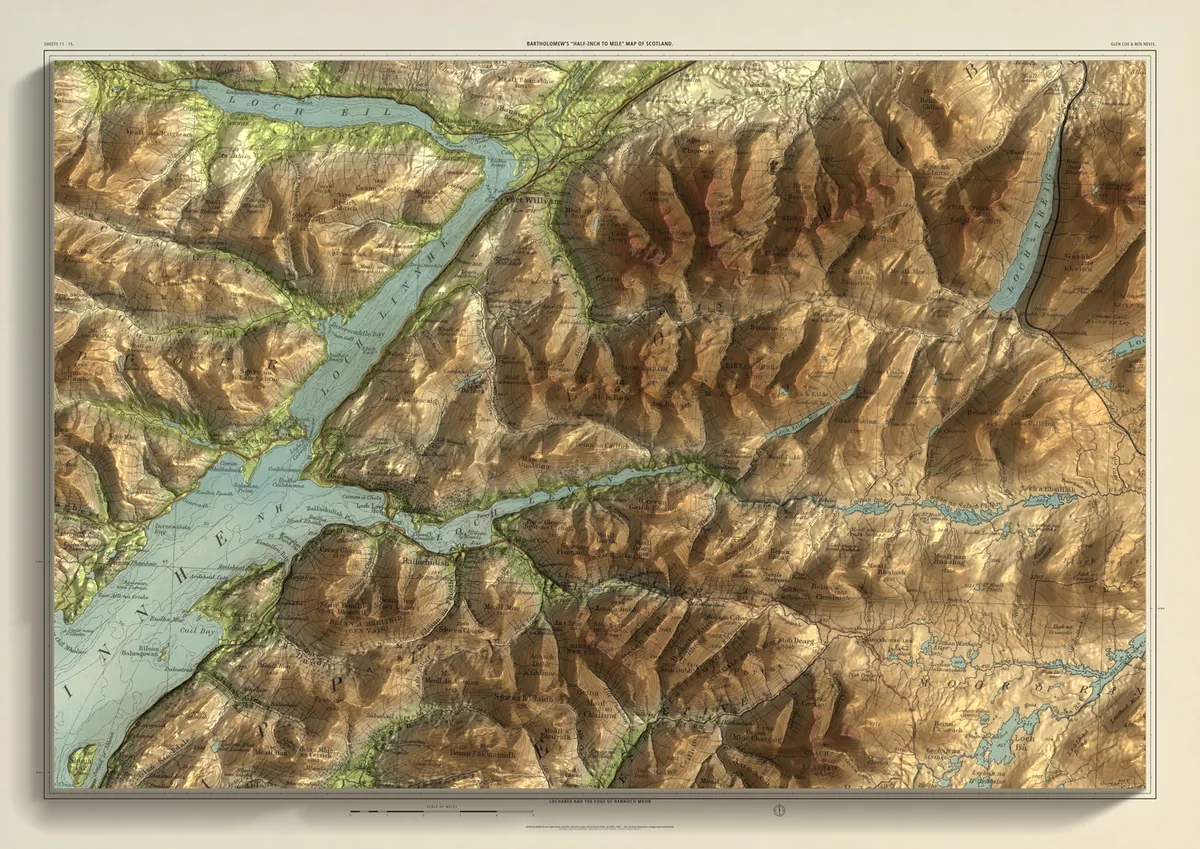
Glen Coe & Ben Nevis
Lochaber and the edge of Rannoch Moor
Ben Nevis and the Aonachs in the north, Glen Coe in the south, and Loch Leven between them, running in from Ballachulish to Kinlochleven. Fort William sits at the head of Loch Linnhe under the Ben. Buachaille Etive Mòr and Bidean nam Bian stand over the glen, and to the east the ground opens out onto Rannoch Moor. Joined from two sheets of Bartholomew's Scottish series.
- A2594 × 420 mmThe same map, printed smaller£95 rolled · £185 framed
- A1841 × 594 mmThe same map, printed smaller£120 rolled · £250 framed
- A01189 × 841 mmThe size it was designed for£175 rolled only
Every size shows the whole 48 × 32 km. A smaller size is the same map printed smaller, made to order at that size.
- From
- Bartholomew’s “Half-inch to mile” map, Scotland sheets 11 and 15
- Printed
- 1903–04
- Scale
- Half an inch to the mile (1:126,720) on the original sheet
- Terrain
- Copernicus GLO-30 satellite elevation, height exaggerated about twelve times
- Giclée on archival paper, made to order. A flat print: the relief is light and shade.
- Edition
- Open, not numbered
Including UK delivery. You check your order on the next page before paying by card.