Bartholomew edition · England
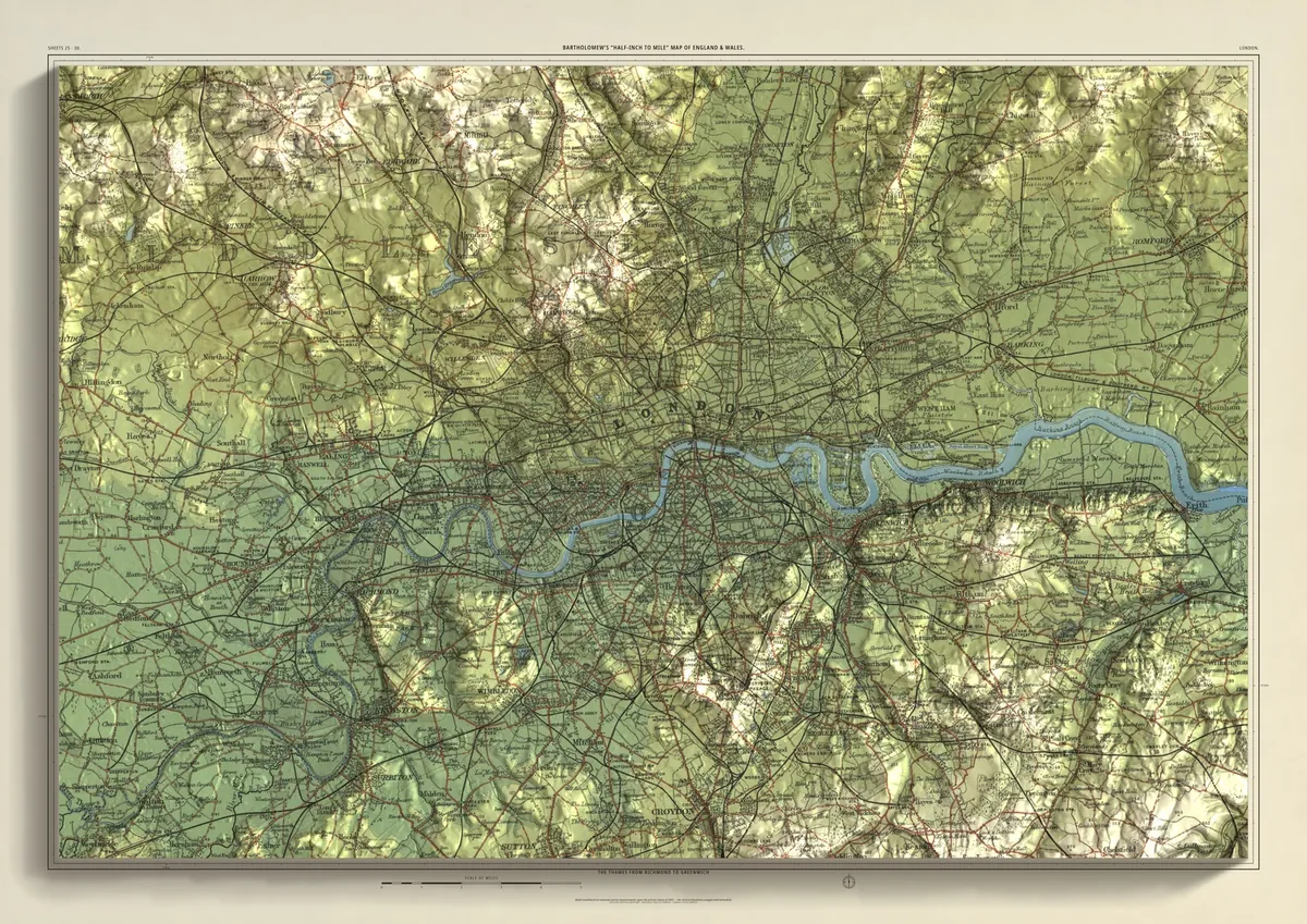
London
The Thames from Richmond to Greenwich
The Thames across London as it was mapped in 1903: from Richmond and Kew past Hammersmith, Westminster and the Tower to the Isle of Dogs and Greenwich. Hampstead Heath and Highgate rise to the north, Wimbledon Common and Crystal Palace to the south, and Kingston sits on the river in the south-west.
- A2594 × 420 mmThe same map, printed smaller£95 rolled · £185 framed
- A1841 × 594 mmThe same map, printed smaller£120 rolled · £250 framed
- A01189 × 841 mmThe size it was designed for£175 rolled only
Every size shows the whole 48 × 32 km. A smaller size is the same map printed smaller, made to order at that size.
- From
- Bartholomew’s “Half-inch to mile” map, England & Wales sheets 25 and 30
- Printed
- 1903
- Scale
- Half an inch to the mile (1:126,720) on the original sheet
- Terrain
- Environment Agency LiDAR, height exaggerated about twelve times
- Giclée on archival paper, made to order. A flat print: the relief is light and shade.
- Edition
- Open, not numbered
Including UK delivery. You check your order on the next page before paying by card.