Bartholomew edition · England
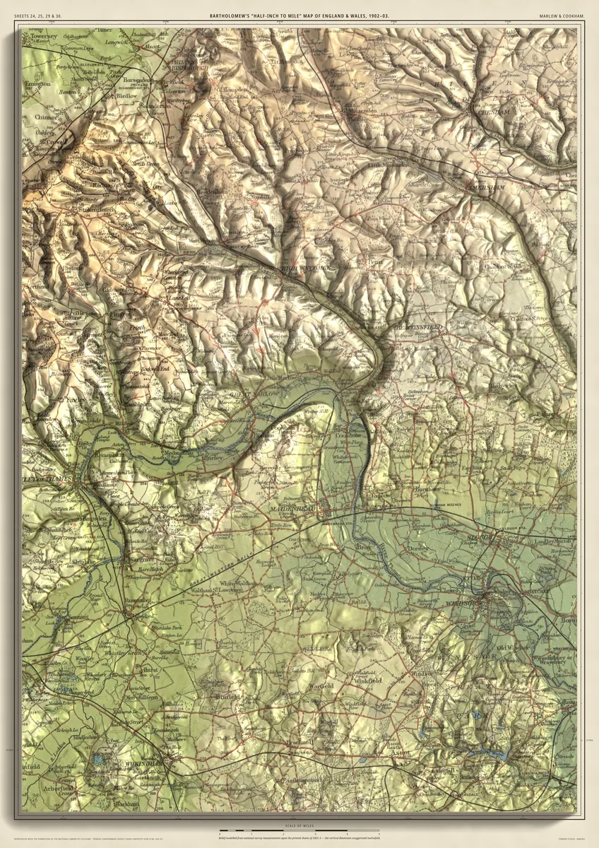
The Thames at Marlow & Cookham
Marlow, Bourne End, Cookham and Maidenhead
The Thames below Henley, past Medmenham and Hurley to Marlow, then round through Bourne End and Cookham to Maidenhead and Taplow, with Windsor to the south-east. High Wycombe, Beaconsfield and Burnham Beeches lie in the Chilterns above the river. Pairs with Henley-on-Thames & District, the reach upstream; joined from four sheets.
- A2420 × 594 mmThe same map, printed smaller£95 rolled · £185 framed
- A1594 × 841 mmThe size it was designed for£120 rolled · £250 framed
Every size shows the whole 28 × 39.5 km. A smaller size is the same map printed smaller, made to order at that size.
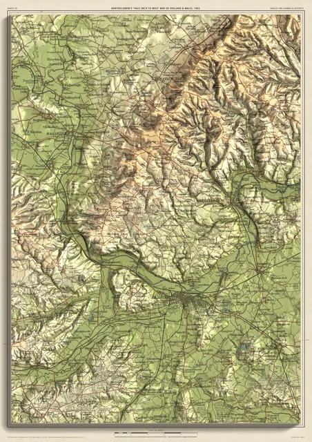
Sold singly or as a pairThe Thames at Marlow & Cookham hangs beside Henley-on-Thames & District: neighbouring stretches of the Thames, drawn to the same scale. Each is priced as a single print.
- From
- Bartholomew’s “Half-inch to mile” map, England & Wales sheets 24, 25, 29 and 30
- Printed
- 1902–03
- Scale
- Half an inch to the mile (1:126,720) on the original sheet
- Terrain
- Environment Agency LiDAR, height exaggerated about twelve times
- Giclée on archival paper, made to order. A flat print: the relief is light and shade.
- Edition
- Open, not numbered
Including UK delivery. You check your order on the next page before paying by card.