Special edition · one of one · France
Grasse to Nice
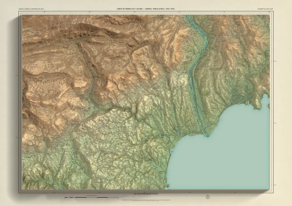
Special edition, one of one: the old line through Tourrettes-sur-Loup and Vence
The hills behind the Côte d’Azur from Grasse to Nice, from the French army’s 1:50,000 maps of the 1930s: the Grasse–Cannes sheet (a 1939 reprint of the 1933 edition) joined to Environs de Nice (1937), with the high ground above Grasse from the 1950s edition of the same map. The old Central-Var railway runs across it in its original ink, from Grasse through Le Bar, Pont-du-Loup, Tourrettes-sur-Loup, Vence and Saint-Jeannet, over the Var at La Manda and on to Nice. Lit as a Bartholomew print, with height colours and the sea following the 1930s coast.
- A1841 × 594 mmThe size it was designed for£120 rolled · £250 framed
Made for A1 only: the whole 37 × 26 km, drawn to be read at this size.
- From
- Carte de France au 1:50 000 (Type 1922): Grasse–Cannes and Environs de Nice, Service géographique de l’armée
- Printed
- 1933–1937, with the ground above Grasse from the 1950 edition
- Scale
- 1:50,000 on the original sheets
- Terrain
- Copernicus GLO-30 satellite elevation, height exaggerated
- Giclée on archival paper, made to order. A flat print: the relief is light and shade.
- Edition
- One of one
Including UK delivery. You check your order on the next page before paying by card.