Nautical chart print · The Lake District
Windermere and Ambleside nautical chart print
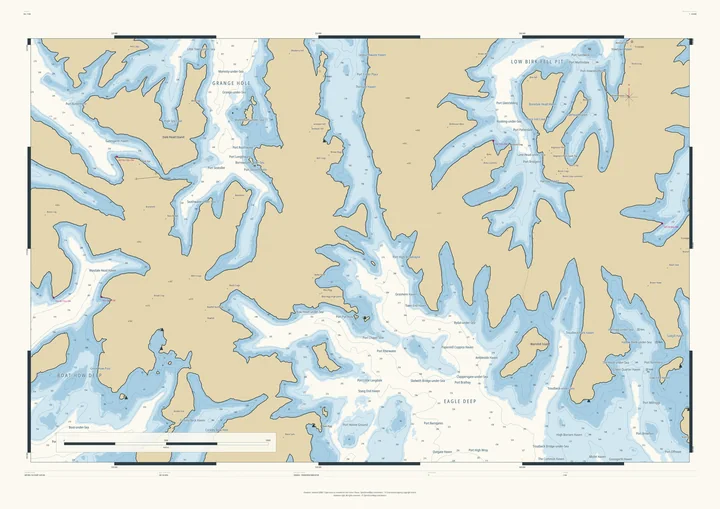
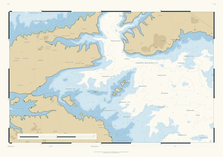
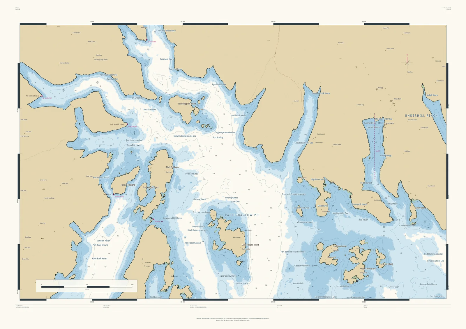
Windermere as a sea loch full of islands
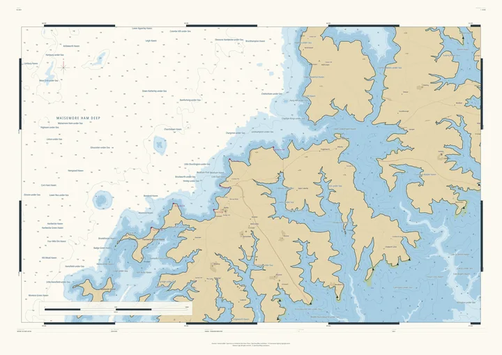
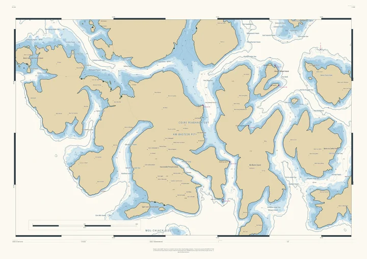
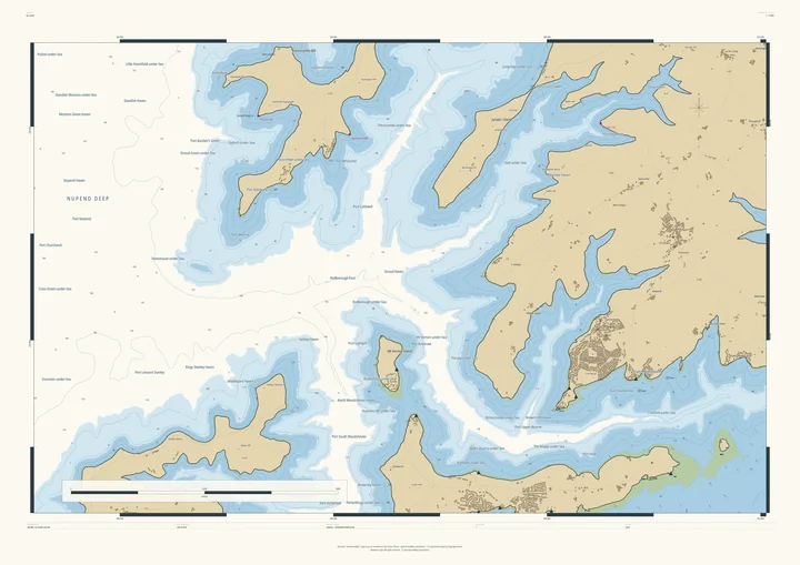
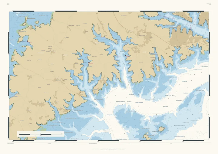
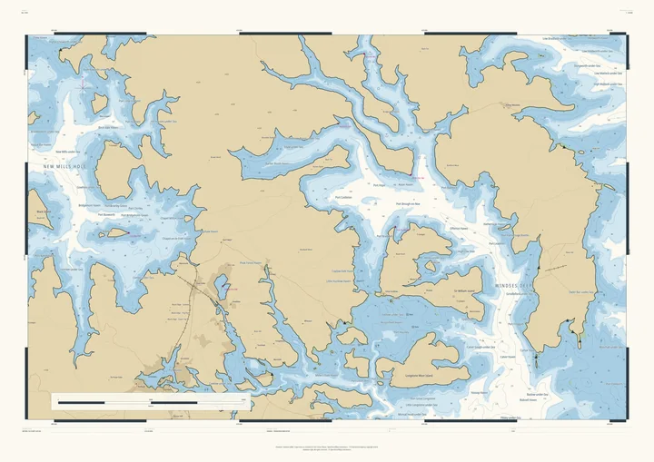
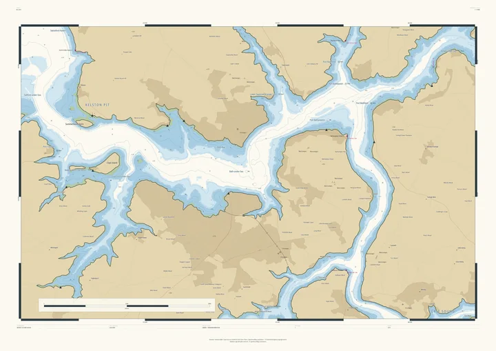
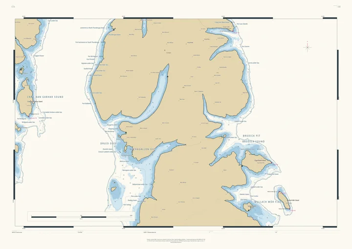
At 205 metres the sea floods up Windermere and into the valleys round it, turning the Lakes into a West Highland coast. The deepest water is Latterbarrow Pit, Claife Heights and Black Fell stand out as islands, and the villages become harbours: Ambleside Haven, Grasmere Haven, Coniston Haven.
It suits sailors on Windermere, fell walkers, and families who go back to the same Lakeland village every year.
- On the chart
- Latterbarrow Pit · Claife Heights Island · Ambleside Haven · Grasmere Haven
- Sea level
- 205 m above today’s, chosen by the Studio for this frame. You can change it.
- Depths
- Every sounding is a real land height, measured from the air, turned upside down.
- Style
- Drawn after the British Admiralty chart: soundings, depth contours, drying heights and coded lights. About the Admiralty style
- Honestly
- An imagined sea, marked “not for navigation” on the sheet. The harbour and channel names are invented from real places nearby.
- A1Rolled, to frame yourself£120
- A1Framed, ready to hang£250
- A0Rolled, to frame yourself£175
- A0Framed, ready to hang£375
Delivered prices. Add your own title and see the finished chart before you pay.