Nautical chart print · Isle of Skye
Skye and the Cuillin nautical chart print
A real coast made wilder: the Cuillin as islands
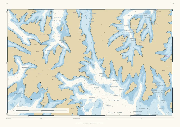
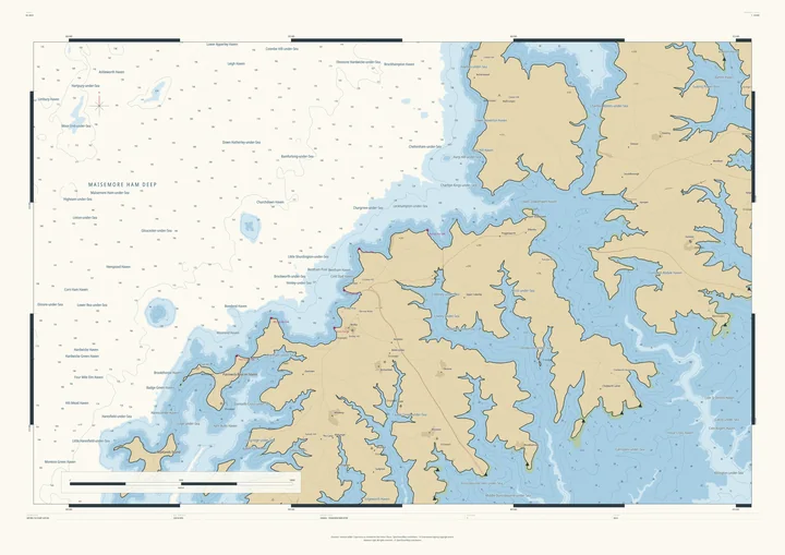
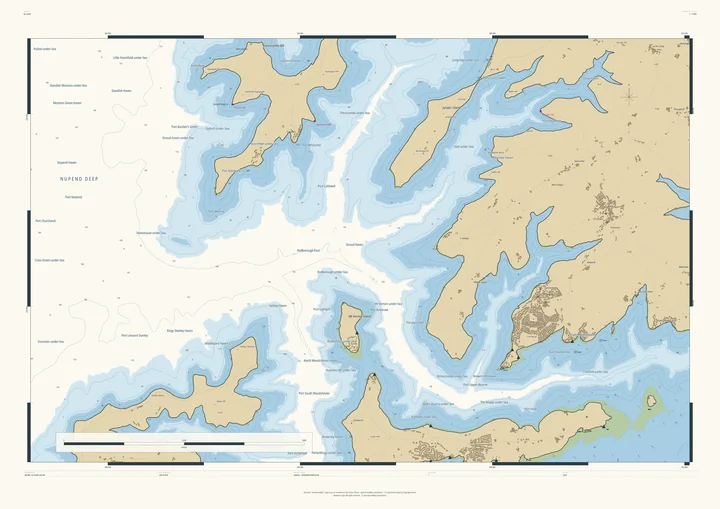
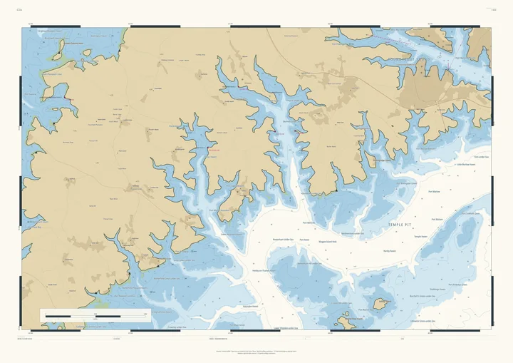
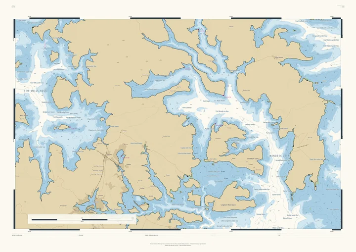
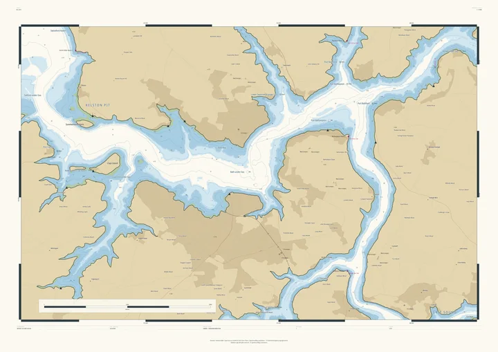
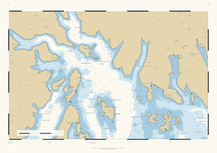
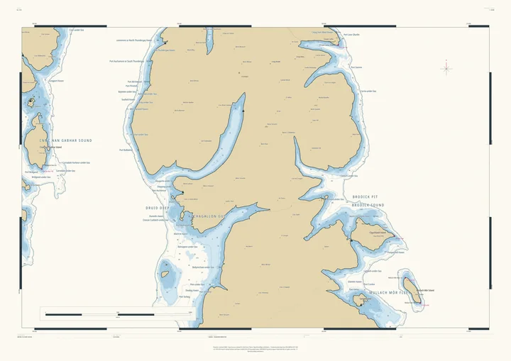
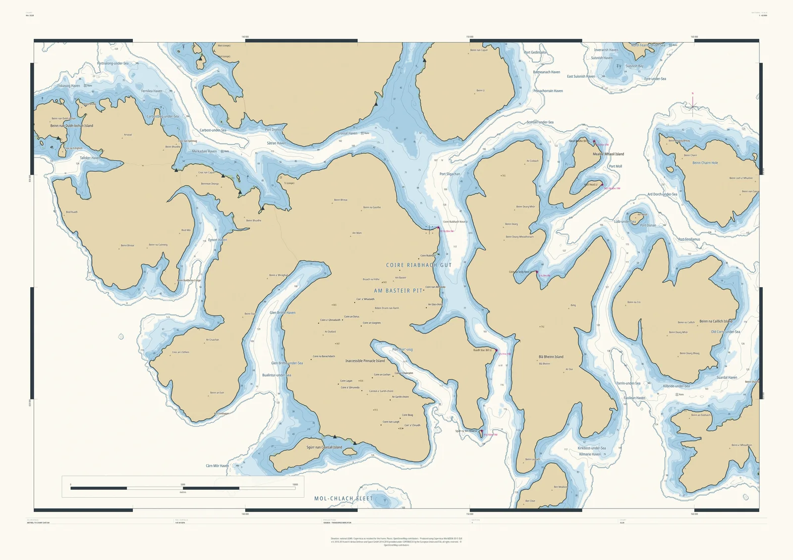
Skye already has a sea; this chart gives it more. With the water 145 metres higher, Glen Sligachan and Glen Brittle flood, the Cuillin ridge breaks into islands, Inaccessible Pinnacle Island among them, and Blà Bheinn stands apart across the water. Port Sligachan, Carbost-under-Sea and Talisker Haven sit on the new shore.
It suits Munro baggers, climbers who know the ridge, and anyone who has sailed these waters. The real sea and the raised sea join seamlessly as deep water.
- On the chart
- Am Basteir Pit · Inaccessible Pinnacle Island · Port Sligachan · Talisker Haven
- Sea level
- 145 m above today’s, chosen by the Studio for this frame. You can change it.
- Depths
- Every sounding is a real land height, measured from the air, turned upside down.
- Style
- Drawn after the British Admiralty chart: soundings, depth contours, drying heights and coded lights. About the Admiralty style
- Honestly
- An imagined sea, marked “not for navigation” on the sheet. The harbour and channel names are invented from real places nearby.
- A1Rolled, to frame yourself£120
- A1Framed, ready to hang£250
- A0Rolled, to frame yourself£175
- A0Framed, ready to hang£375
Delivered prices. Add your own title and see the finished chart before you pay.