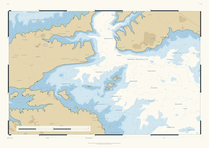
Nautical chart print · Derbyshire
The Peak District nautical chart print
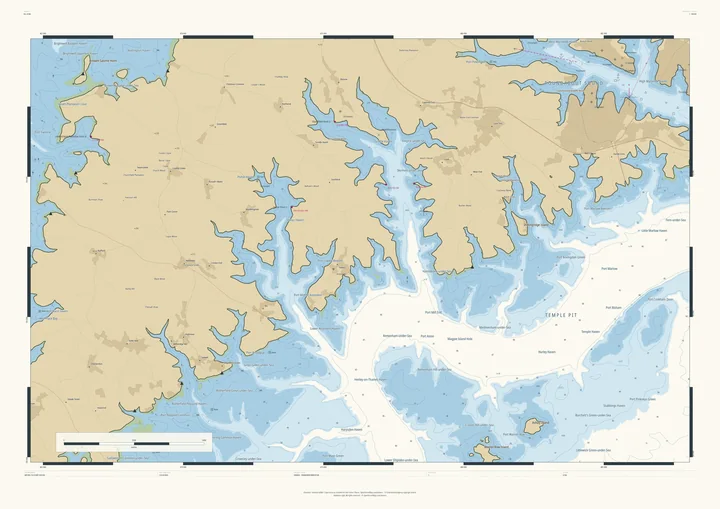
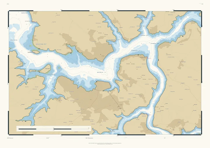
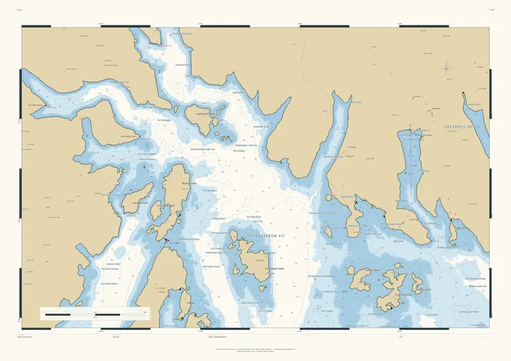
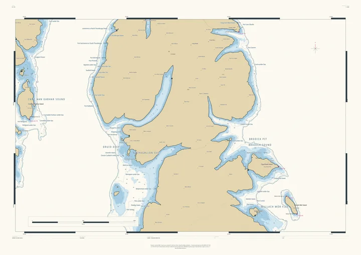
The Dark and White Peak as an island coast
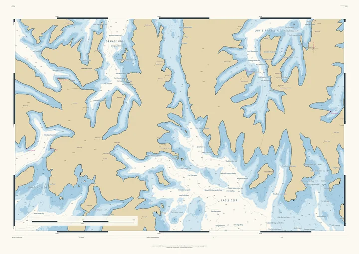
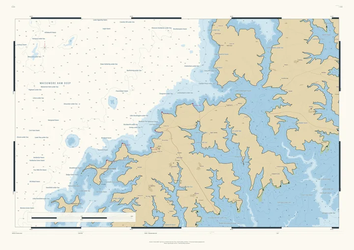
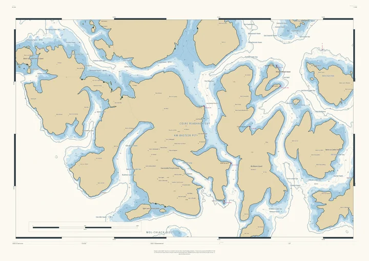
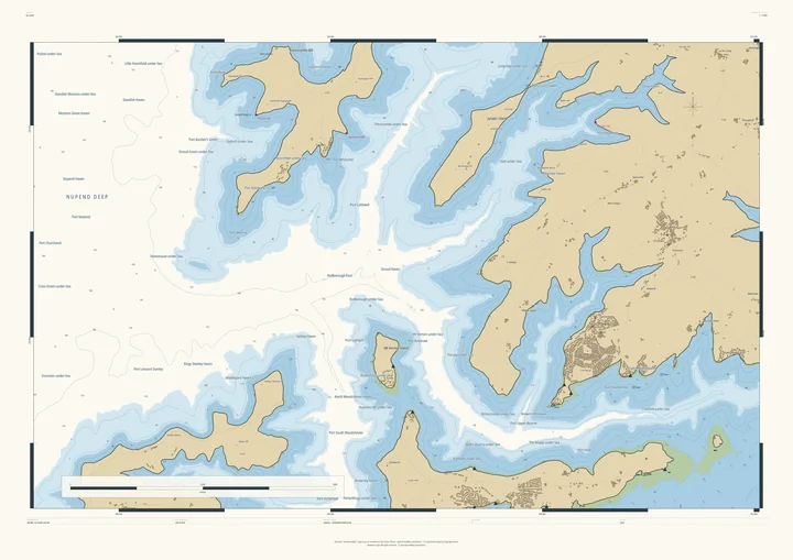
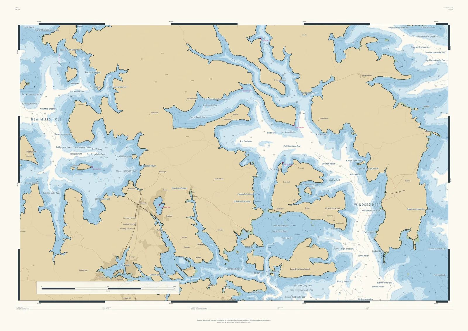
At 310 metres the Peak District becomes an island coast. The Hope Valley and the Derwent become broad sounds, the gritstone moors stand as high islands, and the limestone dales run in as narrow inlets. New Mills Hole and Windses Deep are the deep water; the villages become harbours: Edale-under-Sea, Eyam Haven, Hathersage Haven, Port Castleton.
It suits Peak walkers and climbers, and anyone from Sheffield, Manchester or Derby who spends their weekends out here.
- On the chart
- New Mills Hole · Windses Deep · Edale-under-Sea · Hathersage Haven
- Sea level
- 310 m above today’s, chosen by the Studio for this frame. You can change it.
- Depths
- Every sounding is a real land height, measured from the air, turned upside down.
- Style
- Drawn after the British Admiralty chart: soundings, depth contours, drying heights and coded lights. About the Admiralty style
- Honestly
- An imagined sea, marked “not for navigation” on the sheet. The harbour and channel names are invented from real places nearby.
- A1Rolled, to frame yourself£120
- A1Framed, ready to hang£250
- A0Rolled, to frame yourself£175
- A0Framed, ready to hang£375
Delivered prices. Add your own title and see the finished chart before you pay.