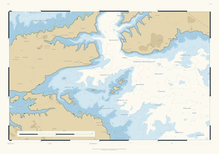
Nautical chart print · Firth of Clyde
The Isle of Arran nautical chart print
Scotland in miniature, with its glens flooded
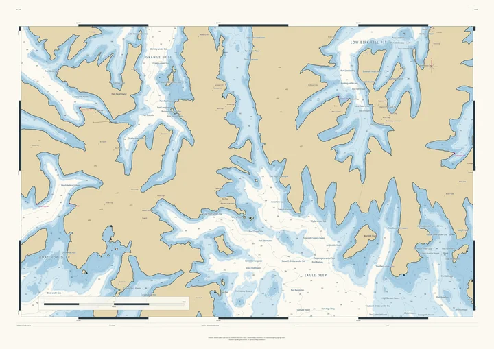
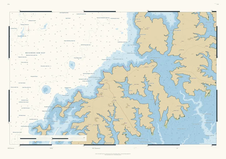
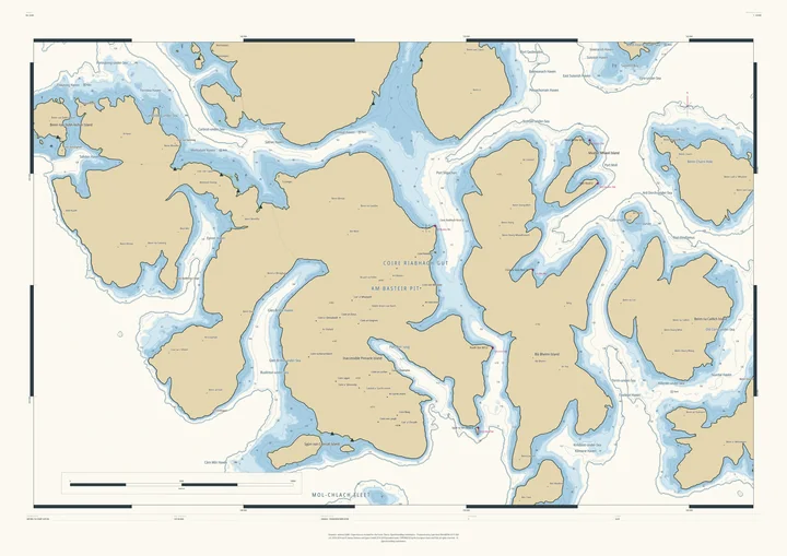
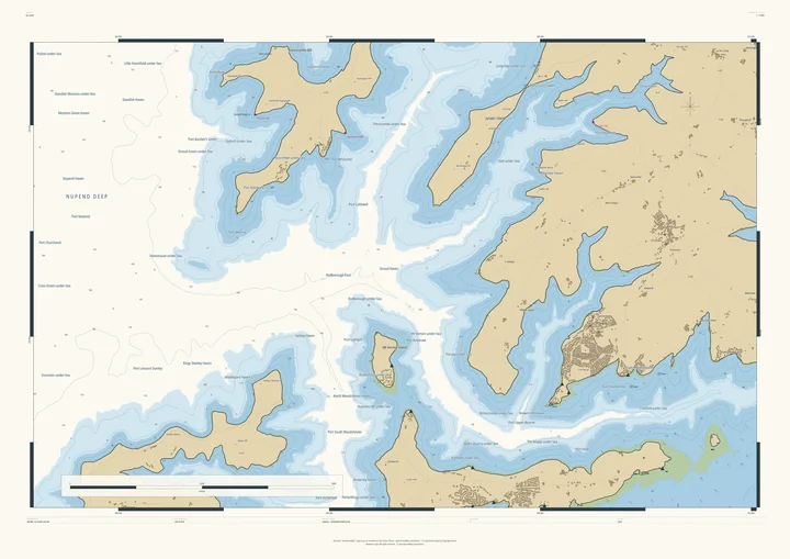
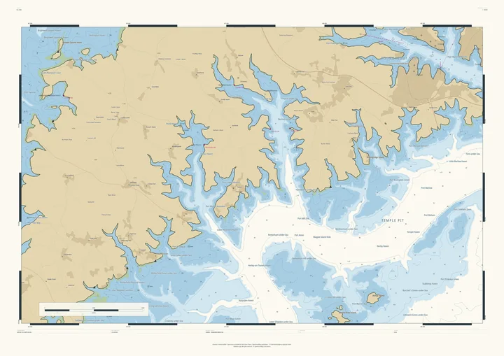
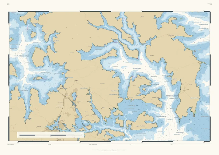
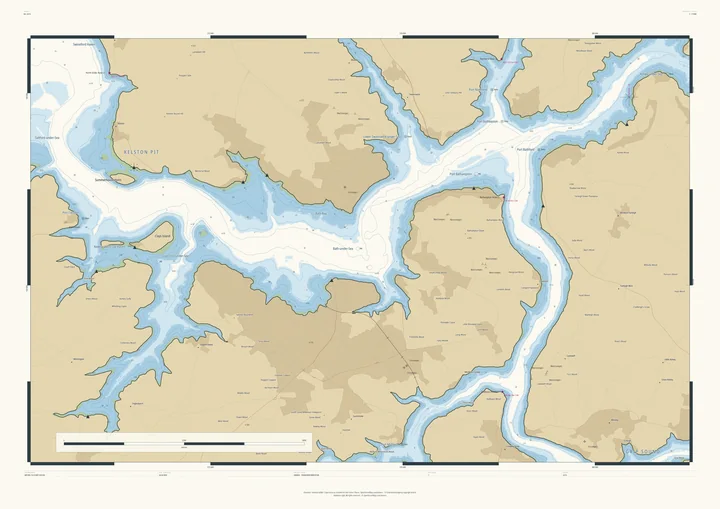
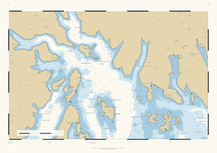
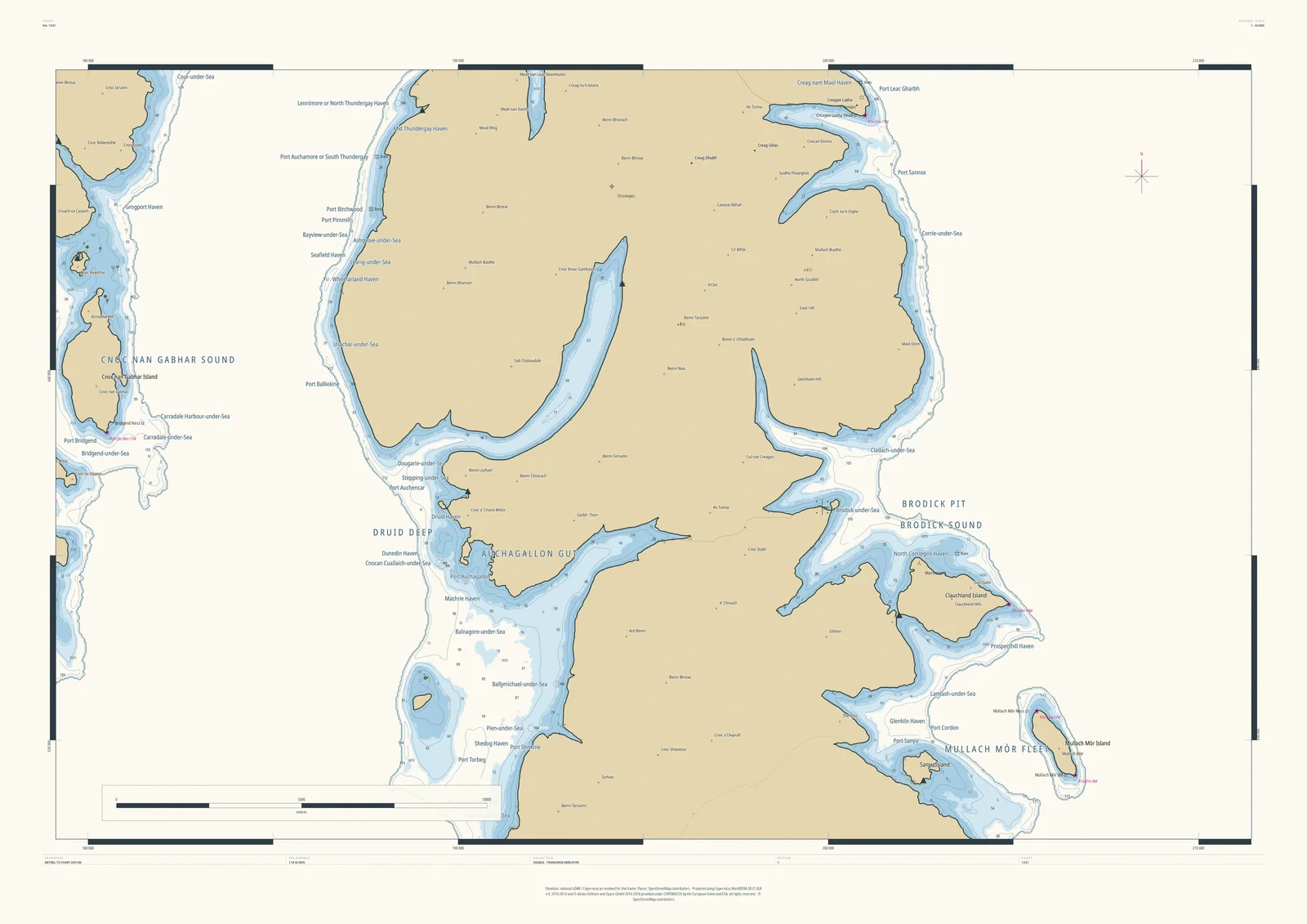
Raise the sea 118 metres round Arran and its glens flood: Brodick Sound reaches deep inland, Machrie and Shiskine on the west side become harbours, and the mountains of the north stand higher above the water than ever. Across the water lies Kintyre, beyond what the chart calls Cnoc nan Gabhar Sound, with Carradale-under-Sea on its shore.
It suits anyone who has taken the ferry to Brodick, walked up Goatfell or sailed the Clyde.
- On the chart
- Brodick Sound · Druid Deep · Brodick-under-Sea · Port Sannox
- Sea level
- 118 m above today’s, chosen by the Studio for this frame. You can change it.
- Depths
- Every sounding is a real land height, measured from the air, turned upside down.
- Style
- Drawn after the British Admiralty chart: soundings, depth contours, drying heights and coded lights. About the Admiralty style
- Honestly
- An imagined sea, marked “not for navigation” on the sheet. The harbour and channel names are invented from real places nearby.
- A1Rolled, to frame yourself£120
- A1Framed, ready to hang£250
- A0Rolled, to frame yourself£175
- A0Framed, ready to hang£375
Delivered prices. Add your own title and see the finished chart before you pay.