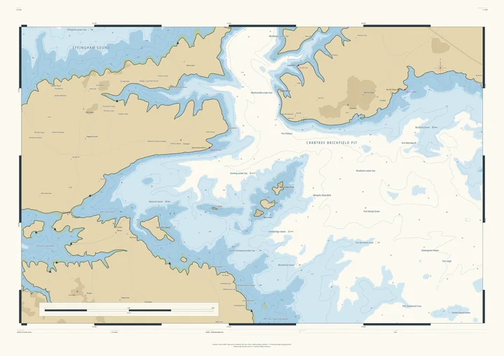
Nautical chart print · Gloucestershire
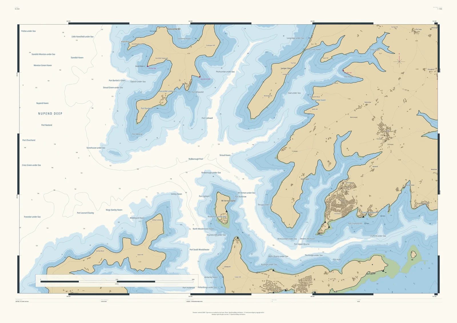
Stroud and the Five Valleys nautical chart print
The Five Valleys as fjords running into the wolds
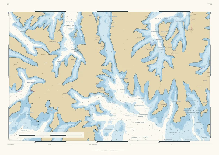
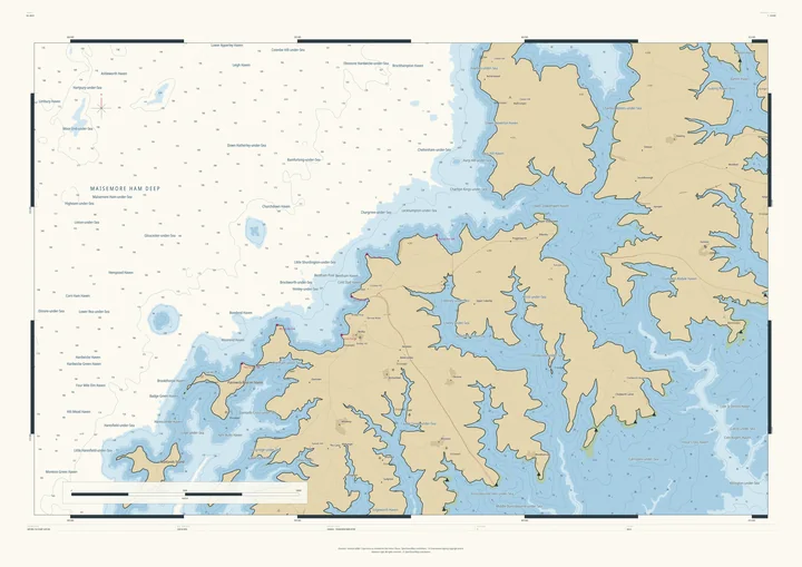
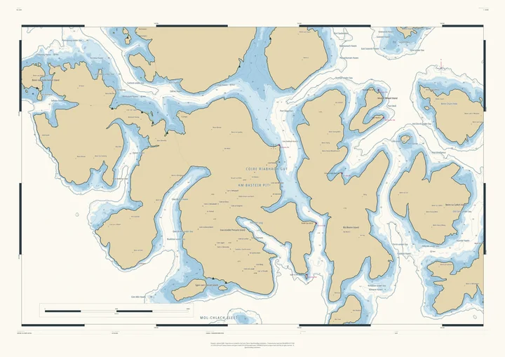
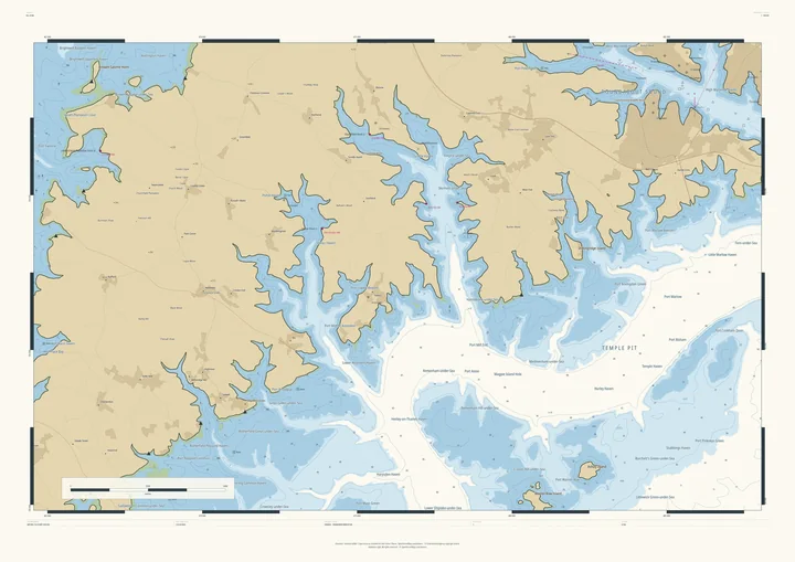
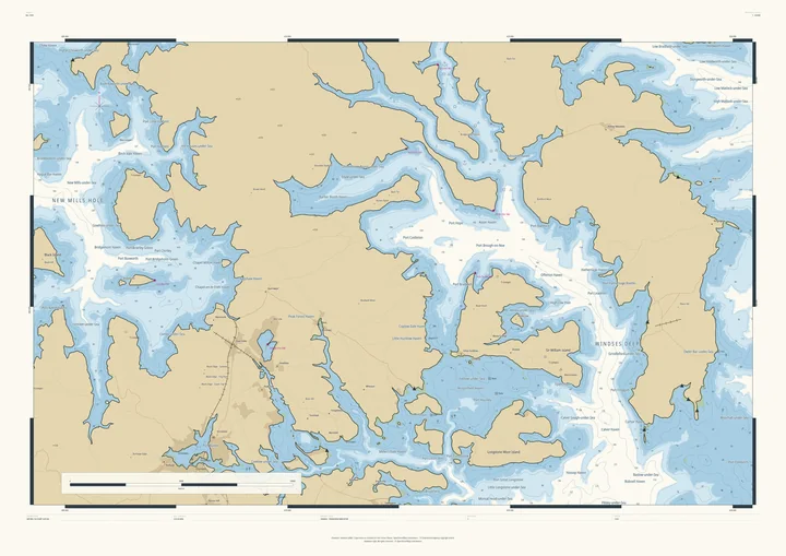
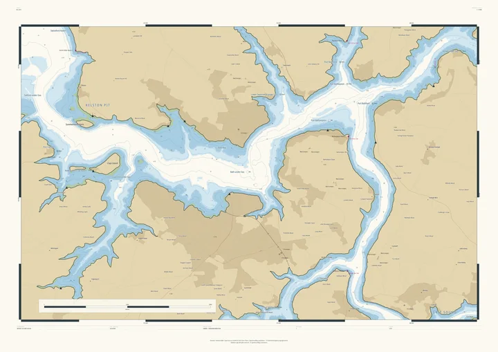
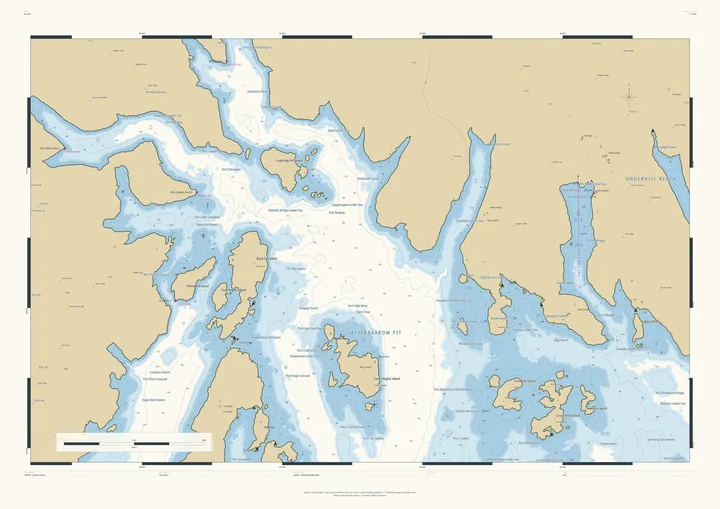
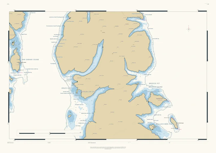
Stroud’s Five Valleys cut deep into the Cotswold edge, and with the sea at 188 metres each becomes a fjord. Open water spreads west as Nupend Deep, the wold tops stand as headlands between the fjords, and the mill villages become harbours or sink altogether: Brimscombe-under-Sea, Chalford-under-Sea, even Minchinhampton-under-Sea up on its common.
Few landscapes in England make a more dramatic chart. It suits Stroud people, canal and valley walkers, and anyone who knows the Golden Valley.
- On the chart
- Nupend Deep · Chalford-under-Sea · Brimscombe-under-Sea · Amberley Haven
- Sea level
- 188 m above today’s, chosen by the Studio for this frame. You can change it.
- Depths
- Every sounding is a real land height, measured from the air, turned upside down.
- Style
- Drawn after the British Admiralty chart: soundings, depth contours, drying heights and coded lights. About the Admiralty style
- Honestly
- An imagined sea, marked “not for navigation” on the sheet. The harbour and channel names are invented from real places nearby.
- A1Rolled, to frame yourself£120
- A1Framed, ready to hang£250
- A0Rolled, to frame yourself£175
- A0Framed, ready to hang£375
Delivered prices. Add your own title and see the finished chart before you pay.