Nautical chart print · Gloucestershire
The Cotswold Edge nautical chart print
The Severn Vale as open sea beneath the escarpment
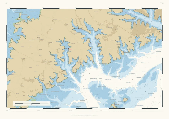
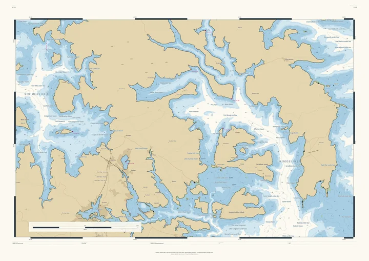
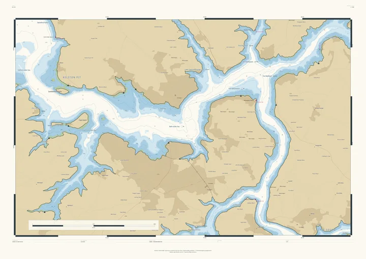
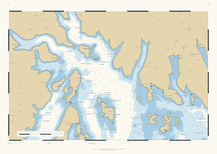
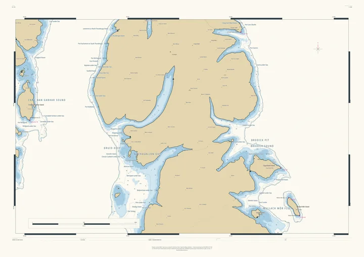
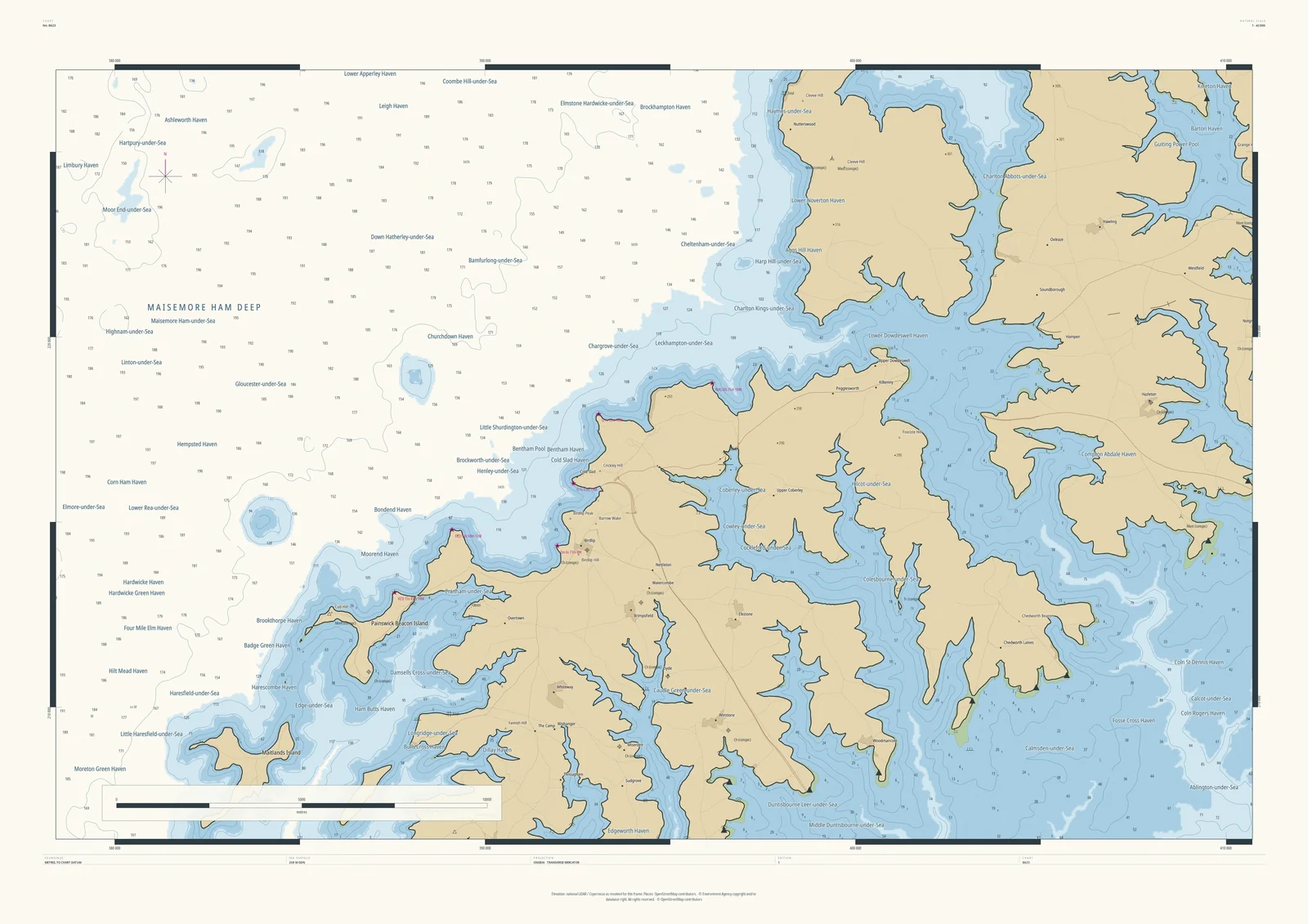
At its widest, the frame takes in the whole western edge of the Cotswolds, and at 208 metres the Severn Vale becomes open sea. Gloucester-under-Sea and Cheltenham-under-Sea lie beneath Maisemore Ham Deep, the escarpment becomes a high coast, and its valleys run inland as fjords, with Painswick Beacon standing off it as an island.
Every village on the wold side gets a harbour: Cranham-under-Sea, Coberley-under-Sea, Charlton Kings-under-Sea. It suits Cotswold Way walkers, anyone from Cheltenham or Stroud, and sailors who have retired a long way inland.
- On the chart
- Maisemore Ham Deep · Painswick Beacon Island · Cheltenham-under-Sea · Cranham-under-Sea
- Sea level
- 208 m above today’s, chosen by the Studio for this frame. You can change it.
- Depths
- Every sounding is a real land height, measured from the air, turned upside down.
- Style
- Drawn after the British Admiralty chart: soundings, depth contours, drying heights and coded lights. About the Admiralty style
- Honestly
- An imagined sea, marked “not for navigation” on the sheet. The harbour and channel names are invented from real places nearby.
- A1Rolled, to frame yourself£120
- A1Framed, ready to hang£250
- A0Rolled, to frame yourself£175
- A0Framed, ready to hang£375
Delivered prices. Add your own title and see the finished chart before you pay.