How do I create my map?
Start by choosing your area: search your postcode, village or favourite place, then move the map and choose how much landscape to include. Continue into the Studio to choose your look, personalise the words and preview your print.
Can I see my own map before buying?
Yes. You can personalise and preview your chosen area online in the Studio before ordering. The first map needs time to prepare; changing some styles or settings can also require a new render. Once ready, you can inspect the preview and refine your design.
What is LiDAR, and how is the landscape measured?
LiDAR uses laser pulses sent from an aircraft to measure the landscape below. Survey specialists turn those measurements into a model of the ground, separating it from buildings and vegetation. We use published survey data to shape the hills and valleys in your print. In England, our detailed terrain source is the Environment Agency’s 1-metre LiDAR model. Read about the airborne surveys.
How does LiDAR compare with 30-metre satellite terrain?
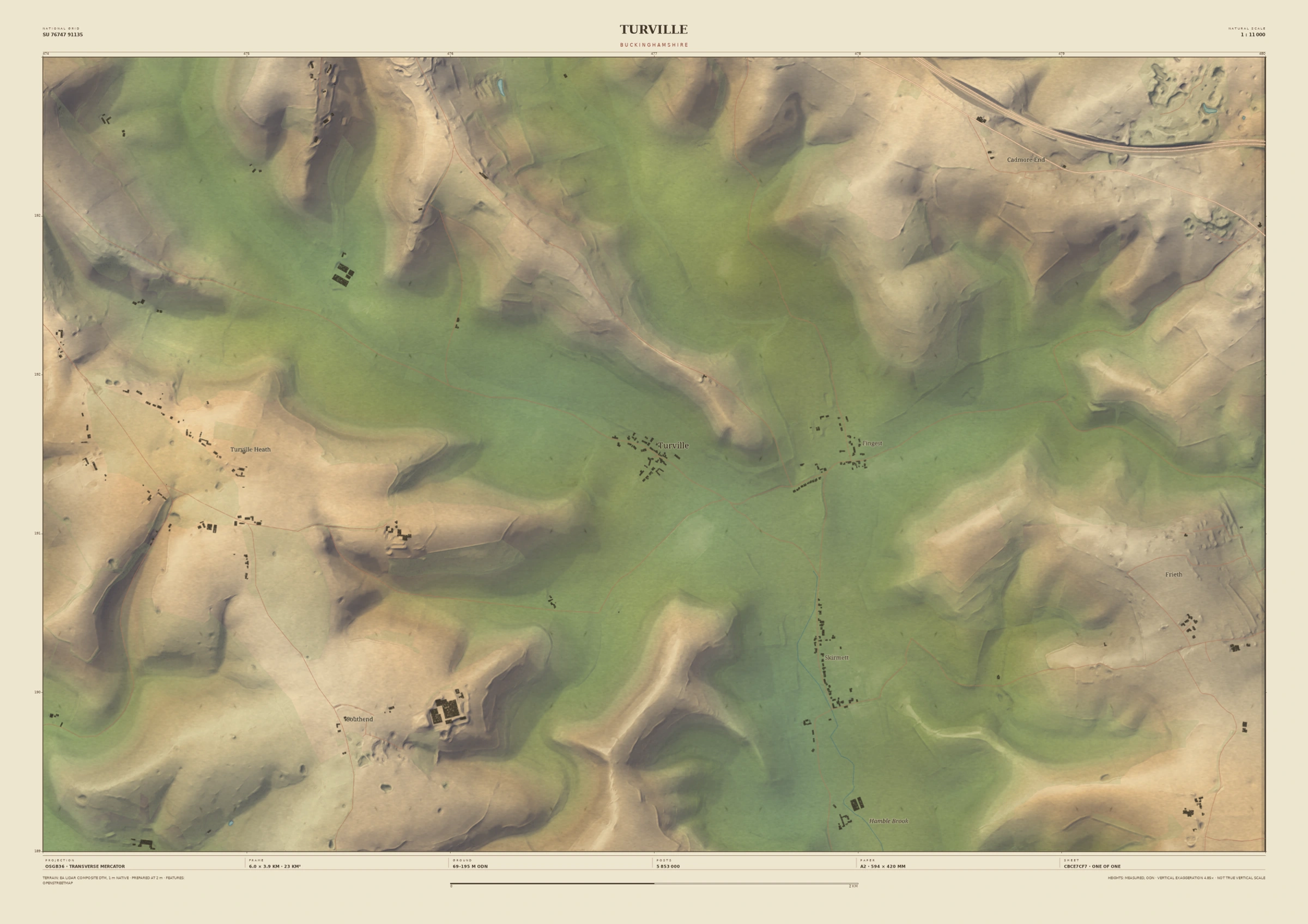
Where 1-metre LiDAR is available, we build from airborne laser surveys with 30 times finer nominal grid spacing than Copernicus GLO-30 satellite terrain. Think of a 30 × 30 metre patch: a 1-metre grid holds 900 height values where a 30-metre grid holds one. That finer sampling can reveal smaller banks, hollows and folds in the ground. The 900-to-one illustration uses nominal square grid sizes; Copernicus’s actual ground spacing varies with latitude. The detail you see also depends on the area, print size and style, and previews may use a coarser grid for speed. Our 1-metre LiDAR source · Copernicus satellite terrain.
Is every location available at the same detail?
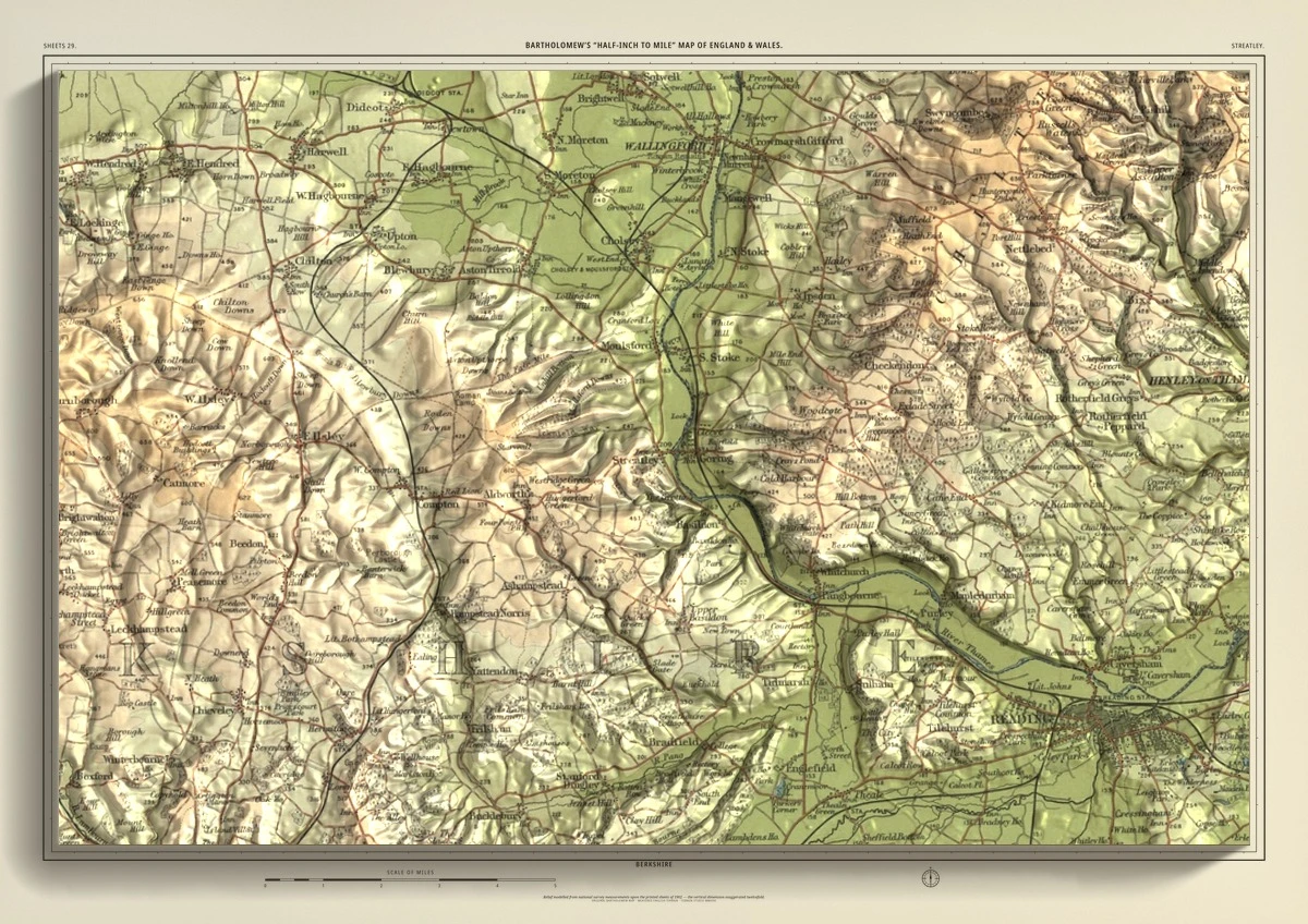
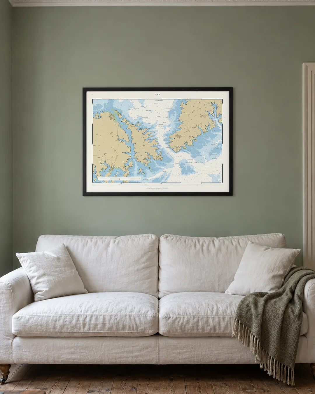
No. Survey coverage and resolution vary by location. We use detailed national LiDAR where available and may use coarser terrain elsewhere. The source is identified with your map. Bartholomew Relief also depends on historic-map coverage, so its available areas and sizes can differ.
Will I be able to recognise my house and local roads?
Close views in Field & Fell can show individual building outlines, roads and place names where the mapping data is available. A wider landscape shows less of this detail. Buildings and roads come from separate mapping data, rather than being photographs of your home. Use the preview to check your chosen place before ordering.
Are the prints physically raised or three-dimensional?
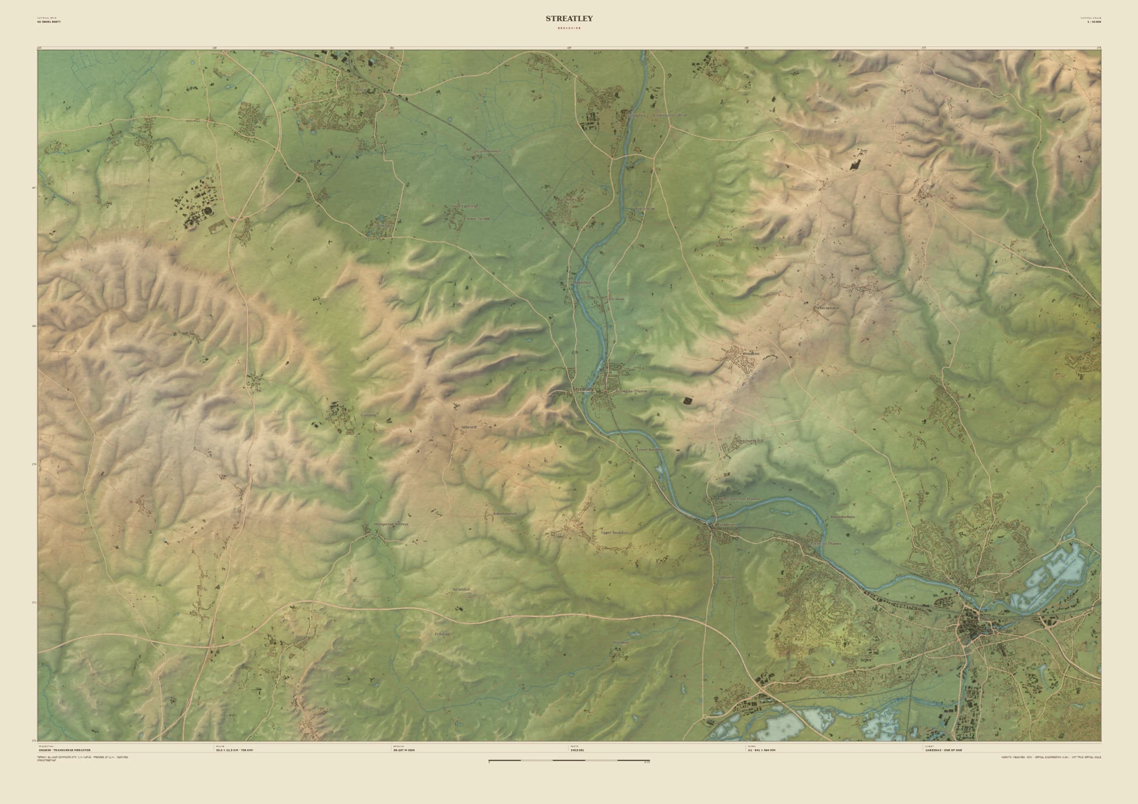
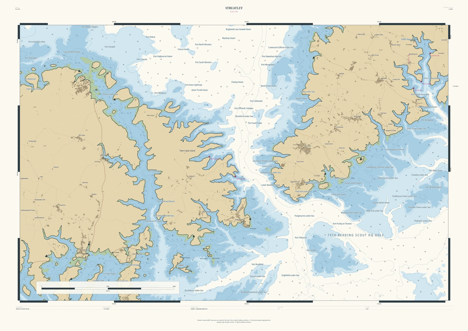
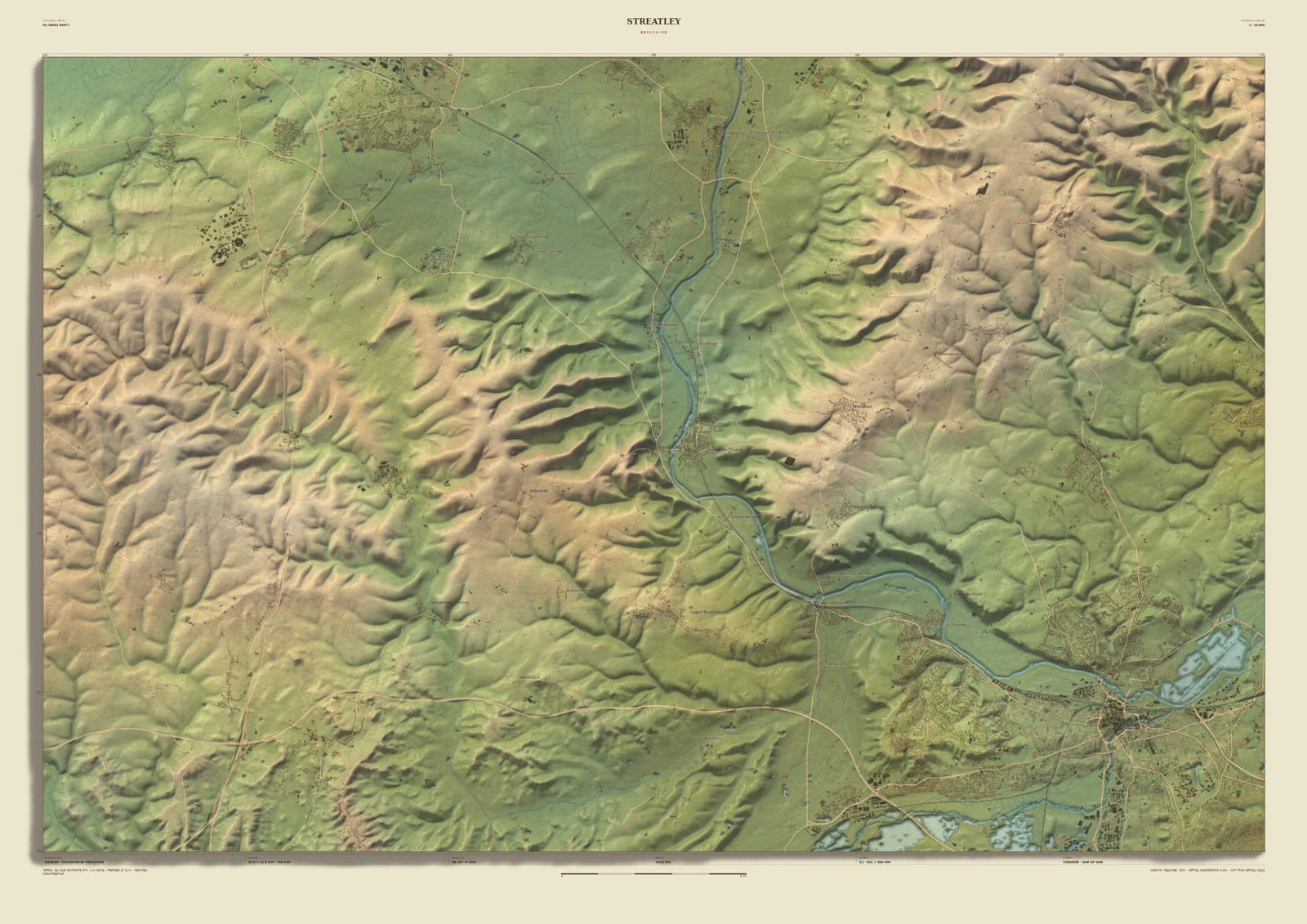
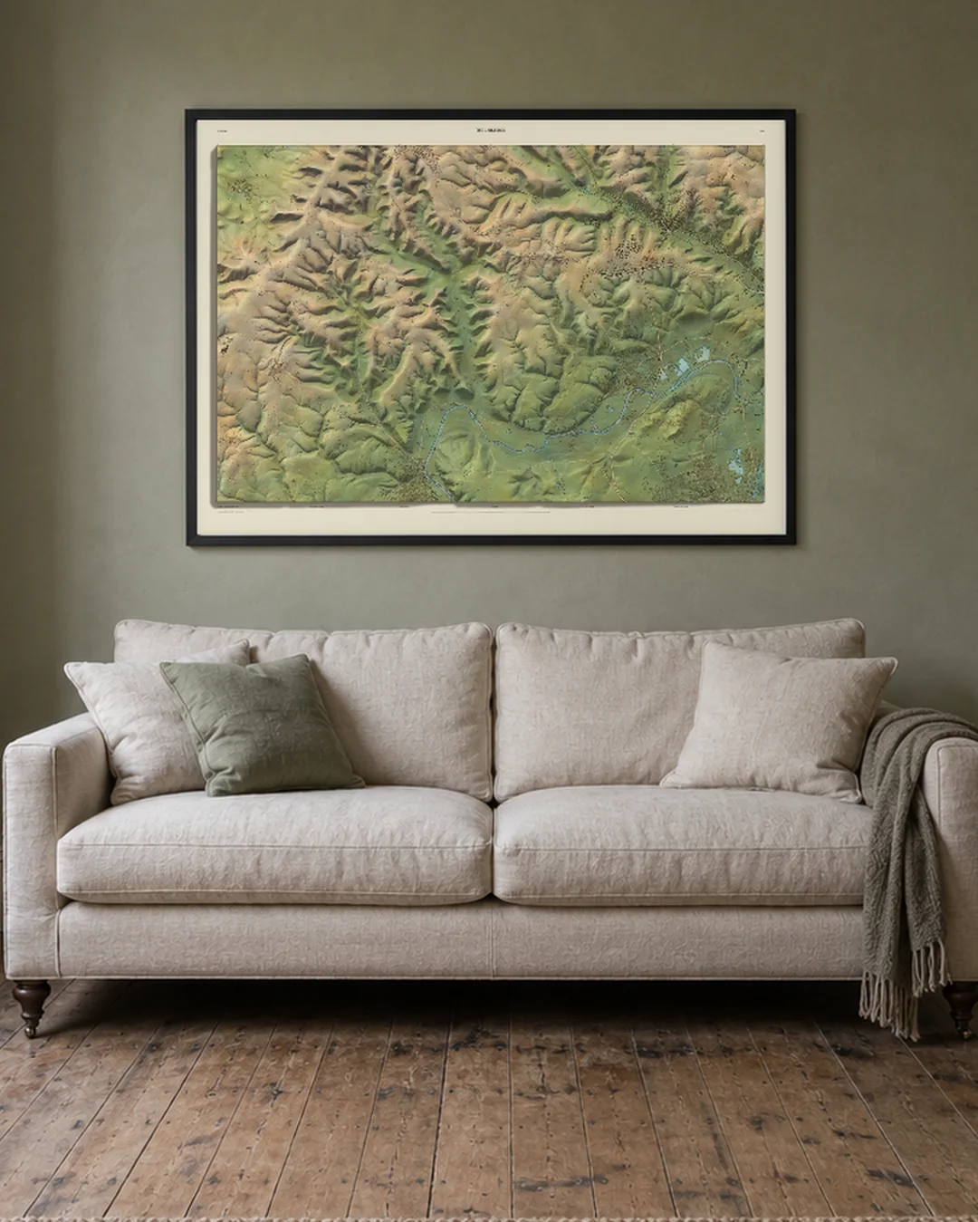
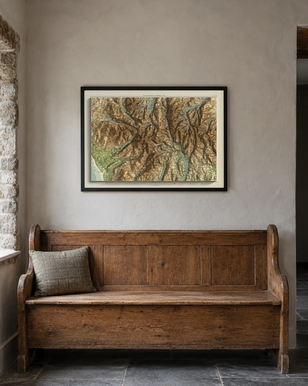
These are flat art prints. Light and shade give the landscape its sense of depth. Field & Fell’s optional Sculpted Relief finish adds a stronger shaded treatment; the main product gallery shows the standard finish. Compare both finishes on our Streatley map. Bartholomew Relief combines historic map artwork with modern terrain shading.
What can I personalise, and which sizes can I buy?
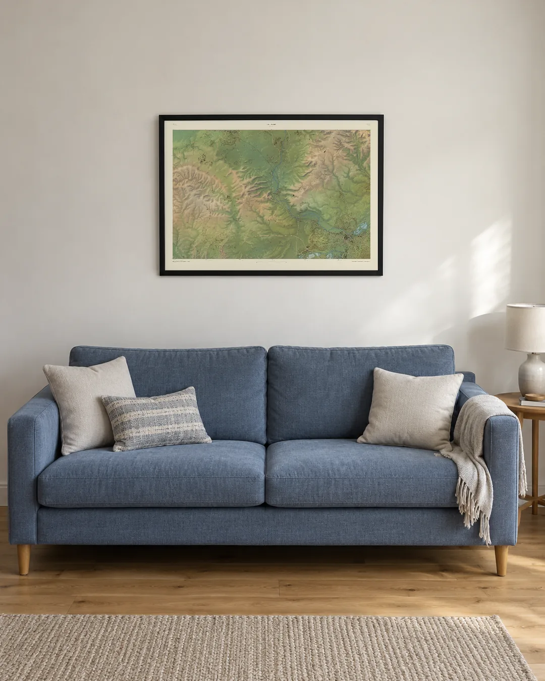
Choose your place, the surrounding area and the available map style, then personalise the title and supporting words in the Studio. Available controls vary by style. A2, A1 and A0 all come rolled or framed. A0 is £175 rolled or £375 framed, delivered, on frames of 14 km across and wider; Bartholomew Relief is not available at A0. The Studio shows the sizes, finishes and price for your chosen map before you order.